New Zealand Backcountry Huts
Huts in New Zealand Beginning with C
These are a mixture of Department of Conservation and private huts. Those without much information are more than likely privately owned and may or maynot be open to the public. If anyone has any information on any of them it would be great if you contacted me and let me know.
The price of a serviced hut is $15 a night, standard hut is $5 a night, Basic/Bivvy are free or you can get an annual pass for $122. All these prices are half price for 11-17 year olds or free if 10 years old and under. The Great Walk huts vary from place to place and season to season but to give you an idea it is $140 a night on the Milford (half price for New Zealanders) to $15 off season and for summer at least they need to be booked through DoC which you can do online @ DoC. I do plan to add the tracks that these huts are on but it is proving to be complicated.
On each individual hut page I have included a zoomable topo map as well as a road map. Most of the information on these hut has been sourced from LINZ and DoC, so thanks to those two government departments :).
| Name | Latitude | Longitude | Area | Type | Photo | |
|---|---|---|---|---|---|---|
| Chaffey Hut | -41.0948150201 | 172.570744979 | Cobb Valley, Kahurangi National Park | Basic/bivvies |  | Map |
| Chancellor Hut | -43.5103255067 | 170.108494905 | Westland Tai Poutini National Park | Serviced Alpine |  | Map |
| Charlies Hut | -43.3814964897 | 171.176517068 | Map | |||
| Cheviot Downs Hut | -45.6320918801 | 167.78558806 | Takitimu Conservation Area | Standard |  | Map |
| Chew Tobacco Hunters Hut | -47.0178448017 | 168.21480355 | Map | |||
| Chimney | -41.4708638898 | 173.660596633 | Map | |||
| Chimney Creek Hut | -44.8155342001 | 170.189195926 | Map | |||
| Christies Hut | -45.4942407793 | 169.100312516 | Map | |||
| Christmas Creek Hut | -45.7058744996 | 170.433937406 | Map | |||
| Christmas Flat Hut | -43.7181803273 | 169.908511952 | Westland Tai Poutini National Park | Standard | 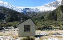 | Map |
| Christmas Village Hunters Hut | -46.7507497857 | 167.980813176 | Rakiura National Park, Stewart Island/Rakiura | Basic/bivvies | 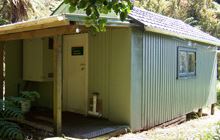 | Map |
| Christmas Village Hut | -46.7438314458 | 167.979480615 | Rakiura National Park, Stewart Island/Rakiura | Standard | 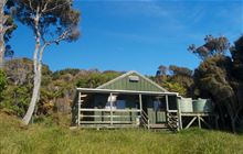 | Map |
| Christopher Cullers Hut | -42.2831581915 | 172.557781647 | Map | |||
| Christopher Hut | -42.2884623474 | 172.565025098 | St James Conservation Area | Serviced | 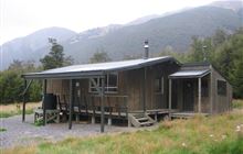 | Map |
| Clark Hut - A Frame | -45.7923571493 | 167.331388201 | Fiordland National Park, Lake Monowai/Borland Road area | Basic/bivvies | 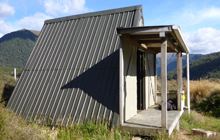 | Map |
| Clinton Hut | -44.9058581047 | 167.908332979 | Fiordland National Park | Great Walk | 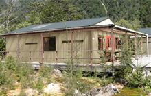 | Map |
| Cloudy Hut | -42.376538441 | 173.167061474 | Map | |||
| Cobb Hut | -41.0559273986 | 172.525058248 | Cobb Valley, Kahurangi National Park | Basic/bivvies | 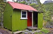 | Map |
| Cold Stream Hut | -42.7439615607 | 172.382102507 | Lake Sumner Forest Park | Standard | Map | |
| Coldwater Hut | -41.8704230631 | 172.817062362 | Nelson Lakes National Park | Standard | 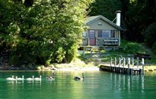 | Map |
| Colenso Hut | -39.6715629627 | 176.140701686 | Ruahine Forest Park | Standard | 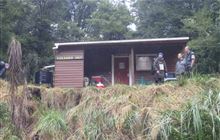 | Map |
| Colin Todd Hut | -44.3720655514 | 168.694593689 | Mount Aspiring National Park | Serviced Alpine | 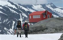 | Map |
| Comet Hut | -39.4684161994 | 176.289740034 | Kaweka Forest Park | Basic/bivvies | 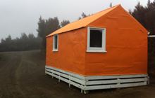 | Map |
| Comyns Hut | -43.4287949074 | 171.367135957 | Hakatere Conservation Park | Basic/bivvies | 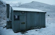 | Map |
| Cone Creek Hut | -42.6823730517 | 171.733197597 | Ahaura River and Lake Brunner catchments area | Basic/bivvies |  | Map |
| Cone Hut | -40.9872595001 | 175.344842565 | Map | |||
| Connors Creek Hut | -42.0053911398 | 172.885170443 | Upper Wairau River area | Standard |  | Map |
| Cookies Hut | -43.4854456056 | 171.442336462 | Hakatere Conservation Park | Basic/bivvies |  | Map |
| Cookshop Hut | -43.5719073176 | 171.436511266 | Map | |||
| Copland Shelter | -43.6550710471 | 170.098577377 | Aoraki/Mount Cook National Park | Basic/bivvies |  | Map |
| Coppermine Creek Hut | -43.8223618346 | 169.167557188 | Haast, Paringa and Moeraki rivers area | Standard |  | Map |
| Cotters Hut | -44.3621393213 | 169.51754518 | Hāwea Conservation Park | Standard |  | Map |
| County Stream Hut | -43.1581716179 | 170.849863684 | Waitaha River area | Basic/bivvies |  | Map |
| Cow Creek Hut | -40.7767776371 | 175.491025331 | Tararua Forest Park | Standard |  | Map |
| Cowshed Hut | -45.3716546469 | 168.471829985 | Map | |||
| Craigie Burn Hut | -44.3224378569 | 169.162843538 | Map | |||
| Crawford Junction Hut | -42.9604579932 | 171.234401938 | Kokatahi River - Whitcombe River area | Basic/bivvies | Map | |
| Creswicke Flat Hut | -43.9230315848 | 169.688924758 | Landsborough River area | Basic/bivvies | 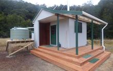 | Map |
| Croesus Top Hut | -42.2931070603 | 171.392191166 | Southern Paparoa Range | Basic/bivvies | 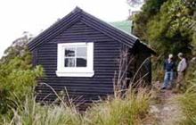 | Map |
| Cromel Base Hut | -45.5381298668 | 168.354064991 | Eyre Mountains/Taka Rā Haka Conservation Park | Basic/bivvies | Map | |
| Cromel Branch Hut | -45.4733827433 | 168.360070466 | Eyre Mountains/Taka Rā Haka Conservation Park | Basic/bivvies | Map | |
| Crooked Spur Hut | -43.623888119 | 170.789607284 | Te Kahui Kaupeka Conservation Park | Basic/bivvies | 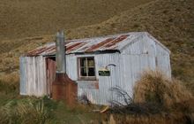 | Map |
| Crosbies Hut | -37.0460311889 | 175.601593344 | Map | |||
| Crow Hut | -42.9434561704 | 171.517050611 | Arthur's Pass National Park | Standard | 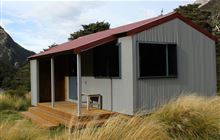 | Map |
| Crow Hut | -41.2934499196 | 172.468715593 | Kahurangi National Park | Standard | 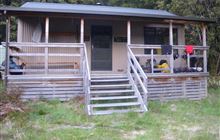 | Map |
| Crow Hut | -39.7669667381 | 176.085164119 | Ruahine Forest Park | Standard | Map | |
| Crumb Hut | -45.1001912304 | 170.444711861 | Map | |||
| Crystal Bivouac | -42.9964363247 | 171.152712115 | Map | |||
| Crystal Hut | -44.8307067291 | 168.667540592 | Skippers area | Basic/bivvies | 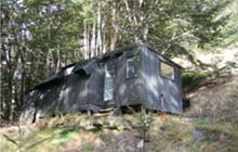 | Map |
| Cullers Hut | -43.9221009111 | 169.836473022 | Ruataniwha Conservation Park | Standard | Map |
[ A ] [ B ] [ C ] [ D ] [ E ] [ F ] [ G ] [ H ] [ I ] [ J ] [ K ] [ L ] [ M ] [ N ] [ O ] [ P ] [ Q ] [ R ] [ S ] [ T ] [ U ] [ V ] [ W ] [ Y ] [ Z ]