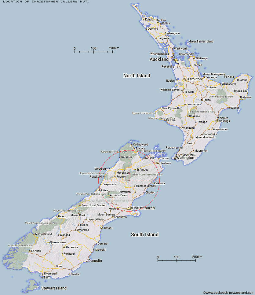
Topo Map showing location of Christopher Cullers Hut
This information is sourced from DoC, LINZ and Openstreetmap. Some of the hut photos are mine and the rest are from DoC. I will be adding an upload feature soon so people can photos of .Christopher Cullers Hut.
Latitude: -42.2831581915
Longitude: 172.557781647
Location:
Type of Hut:
Map: Topo Map | Road Map
Does this hut still exist? Have any more information? Contact
Latitude: -42.2831581915
Longitude: 172.557781647
Location:
Type of Hut:
Map: Topo Map | Road Map
Does this hut still exist? Have any more information? Contact
Scroll down to see a topographical map and road map showing the location of Christopher Cullers Hut
[ A ] [ B ] [ C ] [ D ] [ E ] [ F ] [ G ] [ H ] [ I ] [ J ] [ K ] [ L ] [ M ] [ N ] [ O ] [ P ] [ Q ] [ R ] [ S ] [ T ] [ U ] [ V ] [ W ] [ Y ] [ Z ]
Closest 20 Huts to Christopher Cullers Hut
These are as the crow fliesChristopher Hut 0.84km Lake Guyon Hut 7.48km Anne Hut 7.92km Ada Pass Hut 8.6km Anne Cullers Hut 8.72km Bobs Hut 8.85km Stanley Vale Hut 9.19km East Matakitaki Hut 9.97km Cannibal Gorge Hut 11.57km Pool Hut 13.4km Old Bridge Hut 13.79km Jervois Hut 14.81km Burn Creek Hut 16.67km Caroline Creek Bivouac 16.69km Downie Hut 16.89km Fowlers Hut 17.36km Scotties Hut 17.65km Rokeby Hut 18.44km Pell Stream Hut 18.66km Upper D'Urville Hut 19.84km Tin Jug Hut 20.36km Steyning Hut 20.7km Stony Stream Bivouac 20.88km Boyle Flat Hut 21.79km Manson-Nicholls Memorial Hut 22.19km Nardoo Hut 23.22km Lucretia Hut 23.49km Magdalen Hut 24.76km Brass Monkey Bivouac 24.98km Paske Hut 25.03km Blue Lake Hut 26.26km George Lyon Hut 26.5km Island Gully Hut 26.83km Nina Hut 28.06km Matakitaki Base Hut 29.91km Tutu Hut 29.98km Carlyle Hut 30.14km Lake Christabel Hut 30.18km Upper Nina Bivouac 31.31km Devils Den Bivouac 31.4km