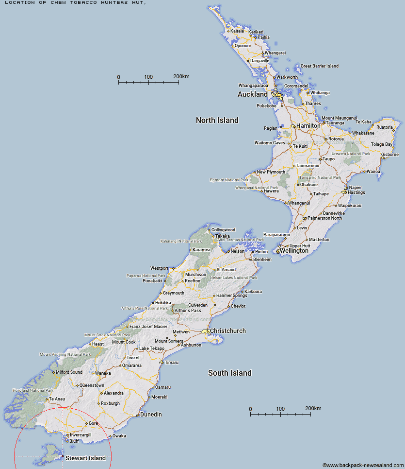
Topo Map showing location of Chew Tobacco Hunters Hut
This information is sourced from DoC, LINZ and Openstreetmap. Some of the hut photos are mine and the rest are from DoC. I will be adding an upload feature soon so people can photos of .Chew Tobacco Hunters Hut.
Latitude: -47.0178448017
Longitude: 168.21480355
Location:
Type of Hut:
Map: Topo Map | Road Map
Does this hut still exist? Have any more information? Contact
Latitude: -47.0178448017
Longitude: 168.21480355
Location:
Type of Hut:
Map: Topo Map | Road Map
Does this hut still exist? Have any more information? Contact
Scroll down to see a topographical map and road map showing the location of Chew Tobacco Hunters Hut
[ A ] [ B ] [ C ] [ D ] [ E ] [ F ] [ G ] [ H ] [ I ] [ J ] [ K ] [ L ] [ M ] [ N ] [ O ] [ P ] [ Q ] [ R ] [ S ] [ T ] [ U ] [ V ] [ W ] [ Y ] [ Z ]
Closest 20 Huts to Chew Tobacco Hunters Hut
These are as the crow fliesChew Tobacco Hunters Hut 0km Port Adventure Hunters Hut 4.55km Little Glory Hunters Hut 6.68km Kellys Hunters Hut 7.04km North Tikotatahi Hunters Hut 8.83km North Big Glory Hunters Hut 9.39km Hapuatuna Hunters Hut 12.94km Lords River Hunters Hut 14.02km Abrahams Bay Hunters Hut 16.47km South West Arm Hunters Hut 19.73km Freds Camp Hut 20.55km North Arm Hut 21.14km Port William Hut 22.45km Rakeahua Hut 25.63km Bungaree Hut 26.99km Freshwater Hut 27.88km Murray River Hunters Hut 30.98km Island Hill Run Deer Pen 33.43km Homestead Hunters Hut 33.5km Mason Bay Hut 34.5km Christmas Village Hunters Hut 34.62km Christmas Village Hut 35.33km Martins Creek Hunters Hut 35.54km Cavalier Hunters Hut 37.83km Doughboy Bay Hut 38.59km Big Hellfire Hut 42.69km Yankee River Hut 43.68km Smoky Hunters Hut 45.43km North Pegasus Hunters Hut 46.11km Long Harry Hut 47.46km South Pegasus Hunters Hut 48.1km East Ruggedy Hut 48.37km Turnbull's (Big Dam) Hut 85.36km Martin's Hut 88.2km Tautuku Hut 99.03km McLennan Hut 109km Port Craig School Hut 109.85km Port Craig Lodge 109.9km Percy Burn Hut 110.81km Wairaurahiri Hut 114.08km