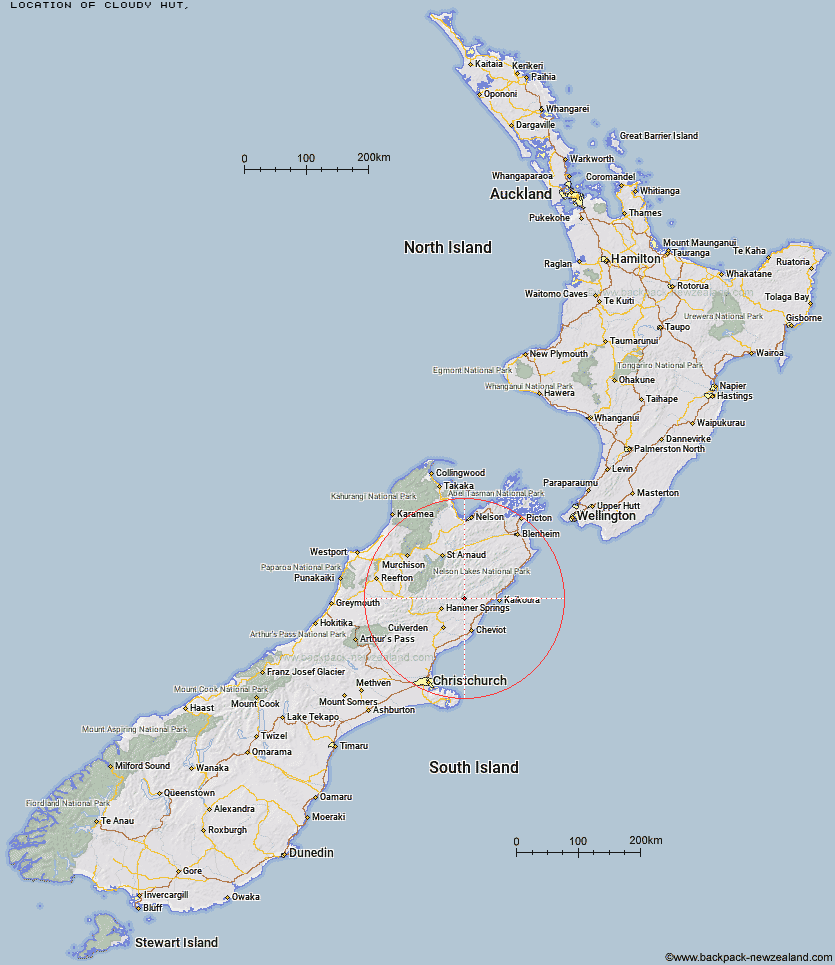
Topo Map showing location of Cloudy Hut
This information is sourced from DoC, LINZ and Openstreetmap. Some of the hut photos are mine and the rest are from DoC. I will be adding an upload feature soon so people can photos of .Cloudy Hut.
Latitude: -42.376538441
Longitude: 173.167061474
Location:
Type of Hut:
Map: Topo Map | Road Map
Does this hut still exist? Have any more information? Contact
Latitude: -42.376538441
Longitude: 173.167061474
Location:
Type of Hut:
Map: Topo Map | Road Map
Does this hut still exist? Have any more information? Contact
Scroll down to see a topographical map and road map showing the location of Cloudy Hut
[ A ] [ B ] [ C ] [ D ] [ E ] [ F ] [ G ] [ H ] [ I ] [ J ] [ K ] [ L ] [ M ] [ N ] [ O ] [ P ] [ Q ] [ R ] [ S ] [ T ] [ U ] [ V ] [ W ] [ Y ] [ Z ]
Closest 20 Huts to Cloudy Hut
These are as the crow fliesPalmer Bivouac 8.59km Half Moon Hut 11.19km Palmer Hut 12.28km Stone Jug Hut 14.46km Guide Hut 14.76km Alfred Hut 15.99km Yarra Hut 17.06km Kahutara Bivouac 20.61km Black Spur Historic Hut 24.07km Lake McRae Hut 24.22km Tent Poles Hut 24.52km Warden Hut 24.83km Seymour Hut 25.65km Red Gate Hut 28.72km Acheron Hut 28.95km Limestone Hut 32.11km Fowlers Hut 33.79km Carters Yards Hut 34.37km Sedgemere Sleepout 34.67km Mt Fyffe Hut 35.52km Saxton Hut 35.72km Kowhai Hut 36.24km Severn Hut 36.6km Dubious Bivouac 37.06km Island Gully Hut 37.98km Junction Hut 38.21km Team Hut 39.55km Goose Flat Hut 40.33km Munroe Hut 40.41km Hapuku Hut 41.47km Stanley Vale Hut 42.18km Scotties Hut 43.68km Lake Guyon Hut 43.77km Barratts Hut 44.03km Barratts Bivouac 44.08km Fidgit Bivouac 44.09km Paske Hut 44.97km Old Bridge Hut 45.13km Stony Stream Bivouac 45.25km Pool Hut 45.34km