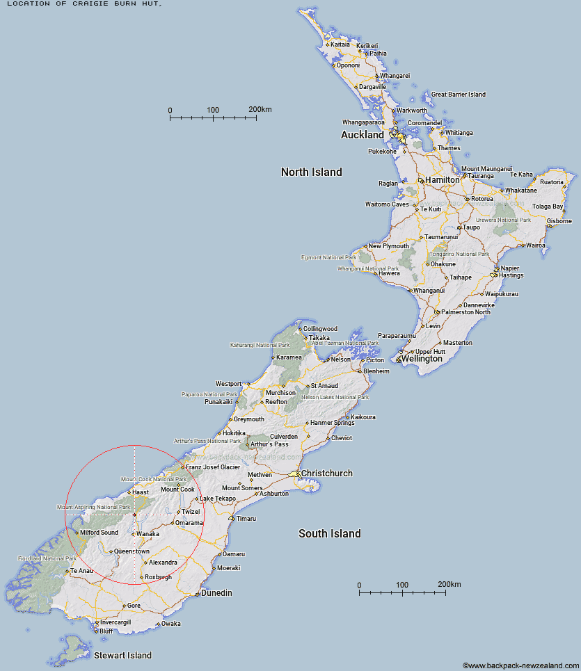
Topo Map showing location of Craigie Burn Hut
This information is sourced from DoC, LINZ and Openstreetmap. Some of the hut photos are mine and the rest are from DoC. I will be adding an upload feature soon so people can photos of .Craigie Burn Hut.
Latitude: -44.3224378569
Longitude: 169.162843538
Location:
Type of Hut:
Map: Topo Map | Road Map
Does this hut still exist? Have any more information? Contact
Latitude: -44.3224378569
Longitude: 169.162843538
Location:
Type of Hut:
Map: Topo Map | Road Map
Does this hut still exist? Have any more information? Contact
Scroll down to see a topographical map and road map showing the location of Craigie Burn Hut
[ A ] [ B ] [ C ] [ D ] [ E ] [ F ] [ G ] [ H ] [ I ] [ J ] [ K ] [ L ] [ M ] [ N ] [ O ] [ P ] [ Q ] [ R ] [ S ] [ T ] [ U ] [ V ] [ W ] [ Y ] [ Z ]
Closest 20 Huts to Craigie Burn Hut
These are as the crow fliesAlbert Burn Hut 10.39km Sawyer Burn Hut 12.8km Big Hopwood Burn Hut 13.02km Kerin Forks Hut 13.69km Siberia Hut 15.37km Young Hut 17.43km Cameron Hut 18.35km High Burn Hut 21.03km Top Forks Hut 22.28km Wanaka Faces Hut 23.53km Little Boundary Hut 25.12km Bush Hut 25.65km Green Bush Hut 25.69km Boundary Hut 25.83km Moonlight & Roses Hut 26.81km Junction Hut 27.9km Mae West Bivouac 28.22km Cotters Hut 28.55km Ben Avon Hut 29.53km Makarora Hut 30.83km Rock of Ages Bivouac 30.89km Top Timaru Hut 31.53km Top Dingle Hut 31.65km Scrubby Hut 32.1km Pakituhi Hut 32.7km Brewster Hut 32.8km Stodys Hut 32.81km Franklin Hut 33.09km Bull Flat Hut 35.04km Ahuriri Base Hut 35.19km Burnt Bush Hut 36.58km Colin Todd Hut 37.64km Ferguson Hut 38.25km Shamrock Hut 38.81km French Ridge Hut 39.1km Raspberry Creek Shelter 39.21km Wills Hut 39.55km Scotts Rock Bivouac 39.84km Black Peak Hut 40.61km Saddle Hut 41.21km