Topo Map showing location of Zoo Hut
This information is sourced from DoC, LINZ and Openstreetmap. Some of the hut photos are mine and the rest are from DoC. I will be adding an upload feature soon so people can photos of .Zoo Hut.
Basic info: standard 4-bunk hut in the South Marlborough area.
Latitude: -41.9232311104
Longitude: 173.927283862
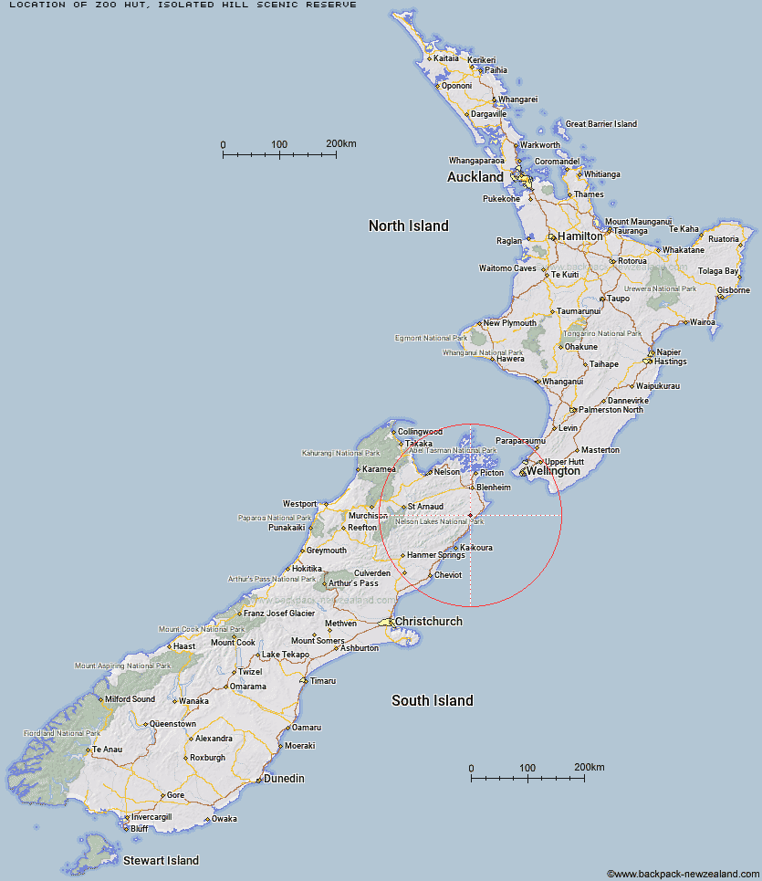
Location: Isolated Hill Scenic Reserve
Area: Marlborough
Type of Hut: Standard
Map: BS28 Topo Map | Road Map
Does this hut still exist? Have any more information? Contact
Basic info: standard 4-bunk hut in the South Marlborough area.
Latitude: -41.9232311104
Longitude: 173.927283862
Location: Isolated Hill Scenic Reserve
Area: Marlborough
Type of Hut: Standard
Map: BS28 Topo Map | Road Map
Does this hut still exist? Have any more information? Contact

Image: DoC
Scroll down to see a topographical map and road map showing the location of Zoo Hut
[ A ] [ B ] [ C ] [ D ] [ E ] [ F ] [ G ] [ H ] [ I ] [ J ] [ K ] [ L ] [ M ] [ N ] [ O ] [ P ] [ Q ] [ R ] [ S ] [ T ] [ U ] [ V ] [ W ] [ Y ] [ Z ]
Closest 20 Huts to Zoo Hut
These are as the crow fliesWhernside Hut 2.45km Isolation Hut 5.46km Beechs Hut 5.84km Swale Hut 6.73km Cabbage Tree Hut 10.18km Mead Hut 11.34km Flynns 12.54km Gibson Hut 13.32km Dee Hut 16.99km Cam Hut 18.89km Snowgrass Hut 21.13km Hornby Bivvy 21.86km Black Birch Bivouac 24.49km Penk Hut 25.23km Jam Hut 25.97km Omaka Bivouac 27.65km Ravine Hut 28.81km Haycocks Bivouac 28.98km Dillon Hut 29.17km Lake Alexander Hut 29.27km Beehive Hut 30.27km Tinpot Hut 31.7km McNaughts Hut 32.67km Ramshead Hut 32.9km Old Middlehurst Hut 33.78km Fidgit Bivouac 37.38km Goose Flat Hut 40.1km Barratts Bivouac 41.38km Barratts Hut 41.49km Top Whare 42.22km Dubious Bivouac 44.41km Hapuku Hut 45.02km Limestone Hut 49.39km Kowhai Hut 49.91km Blue Mountain Hut 50.38km Gosling Hut 51.4km Burnt Yards Hut 52.09km Mt Fyffe Hut 52.39km Turkeys Nest Bivouac 53.84km Seymour Hut 54.84km