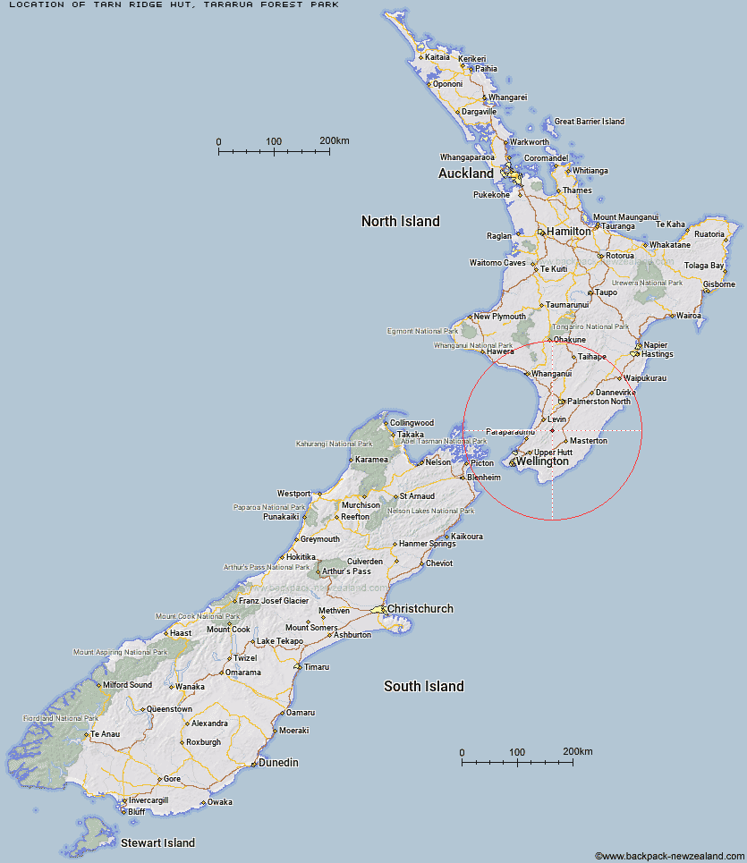
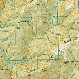
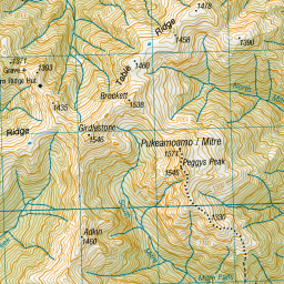
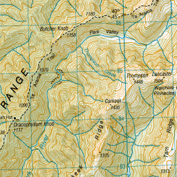
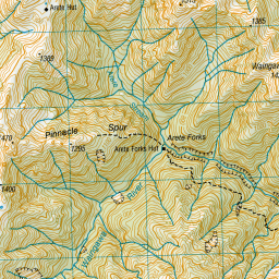
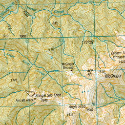
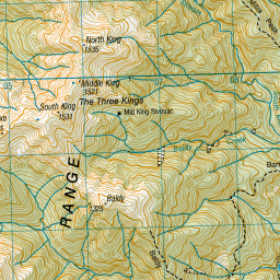
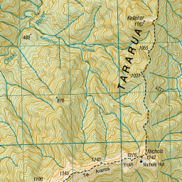
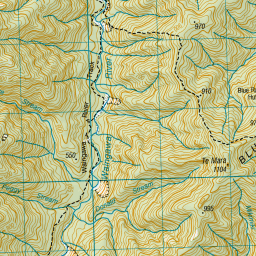
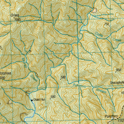
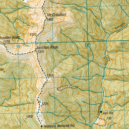
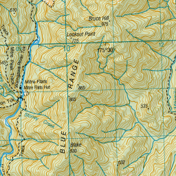
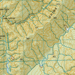
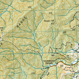
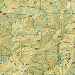
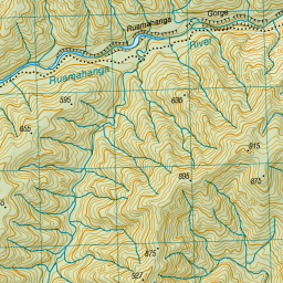
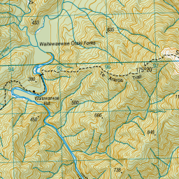
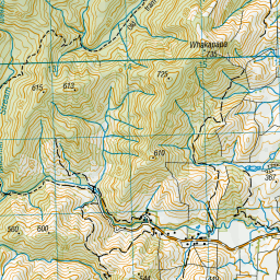
Topo Map showing location of Tarn Ridge Hut
This information is sourced from DoC, LINZ and Openstreetmap. Some of the hut photos are mine and the rest are from DoC. I will be adding an upload feature soon so people can photos of .Tarn Ridge Hut.
Basic info: standard 16-bunk hut in the Wairarapa region.
Latitude: -40.7907677716
Longitude: 175.435944831
Location: Tararua Forest Park
Area: Wairarapa
Type of Hut: Standard
Tracks: Tararua Northern Crossing
Map: BN34 Topo Map | Road Map
Does this hut still exist? Have any more information? Contact
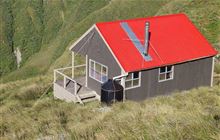
Image: DoC
Scroll down to see a topographical map and road map showing the location of Tarn Ridge Hut


Leaflet | Sourced from LINZ. CC BY 4.0


Leaflet | Map data © OpenStreetMap contributors
[ A ] [ B ] [ C ] [ D ] [ E ] [ F ] [ G ] [ H ] [ I ] [ J ] [ K ] [ L ] [ M ] [ N ] [ O ] [ P ] [ Q ] [ R ] [ S ] [ T ] [ U ] [ V ] [ W ] [ Y ] [ Z ]
Closest 20 Huts to Tarn Ridge Hut
These are as the crow fliesDorset Ridge Hut 2.19km Arete Forks Hut 3.29km Carkeek Hut 3.34km Mid King Bivouac 4.21km Dracophyllum Hut 4.57km Arete Hut 4.7km Cow Creek Hut 4.89km McGregor Bivouac 5.12km Nichols Hut 5.5km Mitre Flats Hut 5.71km Te Matawai Hut 6.7km Blue Range Hut 6.97km Jumbo Hut 7.08km Dundas Hut 8.64km Atiwhakatu Hut 8.74km Cattle Ridge Hut 8.84km South Ohau Hut 8.97km Anderson Memorial Hut 9.14km Waiopehu Hut 9.78km Roaring Stag Hut 10.02km Mid Waiohine Hut 10.33km Powell Hut 10.51km North Ohau Hut 10.8km Mangahao Flats Hut 11km Mountain House Shelter 11.55km Waitewaewae Hut 11.8km Aokaparangi Hut 12.91km Herepai Hut 13.2km Maungahuka Hut 16km Totara Flats Hut 16.02km Neill Forks Hut 17.16km Penn Creek Hut 17.61km Sayer Hut 17.67km Waikawa Shelter 17.71km Field Hut 19.95km Burn Hut 20.5km Kime Hut 21.83km Cone Hut 23.15km Waiohine Shelter 24.41km Alpha Hut 25.25km