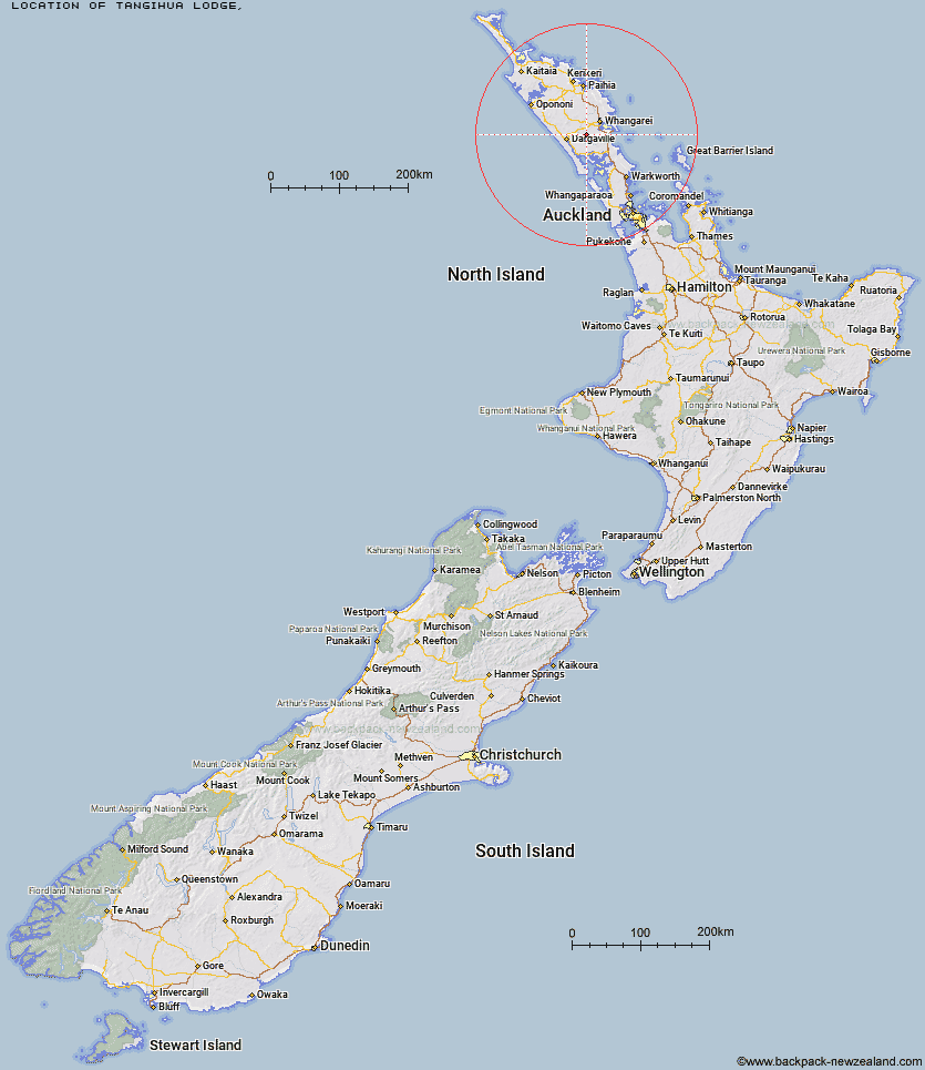
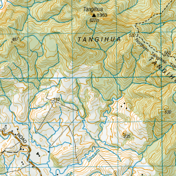
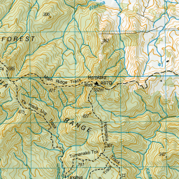
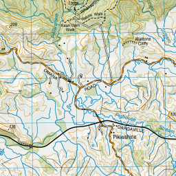
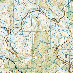
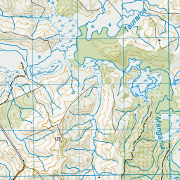
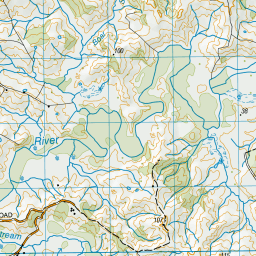
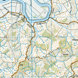
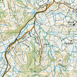
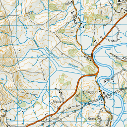
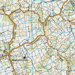
Topo Map showing location of Tangihua Lodge
This information is sourced from DoC, LINZ and Openstreetmap. Some of the hut photos are mine and the rest are from DoC. I will be adding an upload feature soon so people can photos of .Tangihua Lodge.
Latitude: -35.8910541108
Longitude: 174.129973308
Location:
Type of Hut:
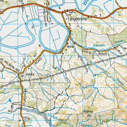
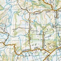
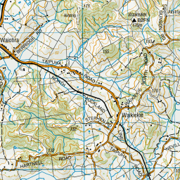
Map: Topo Map | Road Map
Does this hut still exist? Have any more information? Contact
Latitude: -35.8910541108
Longitude: 174.129973308
Location:
Type of Hut:
Map: Topo Map | Road Map
Does this hut still exist? Have any more information? Contact
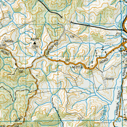
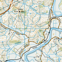
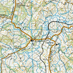
Scroll down to see a topographical map and road map showing the location of Tangihua Lodge

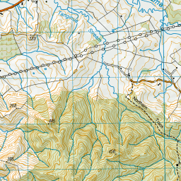

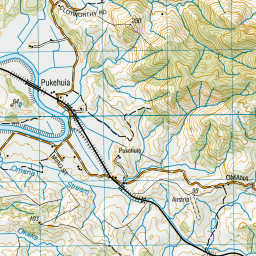
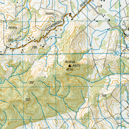
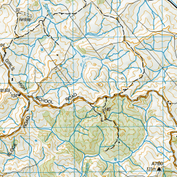

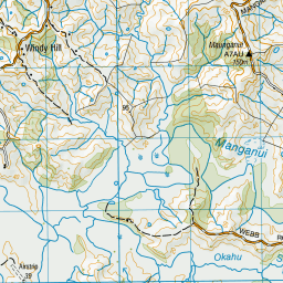

Leaflet | Sourced from LINZ. CC BY 4.0


Leaflet | Map data © OpenStreetMap contributors
[ A ] [ B ] [ C ] [ D ] [ E ] [ F ] [ G ] [ H ] [ I ] [ J ] [ K ] [ L ] [ M ] [ N ] [ O ] [ P ] [ Q ] [ R ] [ S ] [ T ] [ U ] [ V ] [ W ] [ Y ] [ Z ]
Closest 20 Huts to Tangihua Lodge
These are as the crow fliesTangihua Hut 4.85km Peach Cove Hut 39.47km Frampton's Hut 72.78km Puketi Forest Hut 81.44km Cape Brett Hut 81.93km Motukawanui Hut 99.84km Lane Cove Hut 104.18km Kaiaraara Hut 116.81km Ongaruanuku Hut 119.01km Mt Heale Hut 120.16km Piggotts Hut 161.5km Crosbies Hut 183.87km Pinnacles Hut 190.8km Daly's Clearing Hut 229.33km Mangakino Shelter 231.19km Waitawheta Hut 235.35km Wairoa Shelter 238.94km Te Rereatukahia Hut 241.83km Motutapere Hut 245.5km Pahautea Hut 248.92km Kauritatahi Hut 250.36km Mangamuka Hut 263.01km Ngamuwahine Shelter 263.13km Hurunui Hut 267.36km Hamilton Tomo Group Hut 276.62km Leitchs Hut 288.25km Wildlife Hut 300.18km Bog Inn Hut 327.42km Wairua Hut 331.05km Waihaha Hut 337.83km Hauhungaroa Hut 340.69km Rerekapa Hut 342.39km Waihua Hut 360.9km Ohuraiti Hut 360.92km Twain (Waipotiki) Hut 362.37km Mangamako Hut 363km Saddle (Mangaawai) Hut 363.81km Casino Hut 365.1km Apiti Hut 365.85km Ten Man Hut 366.49km