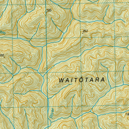
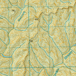
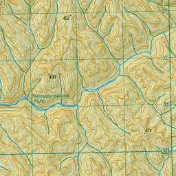
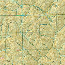
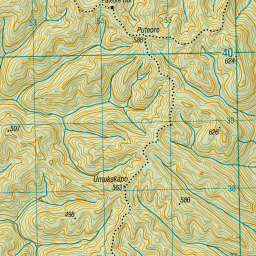
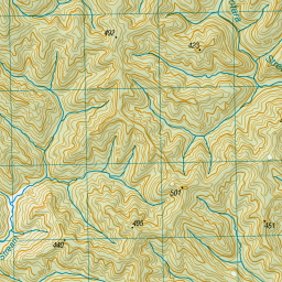
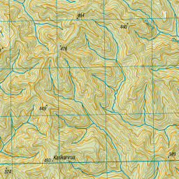
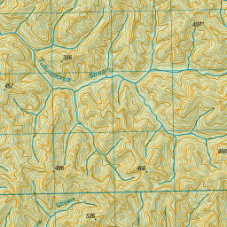
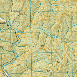
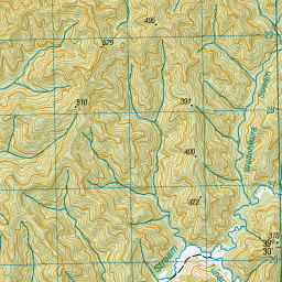
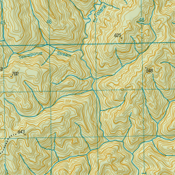
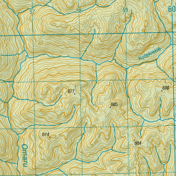
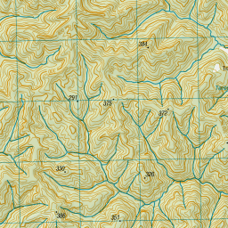
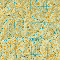
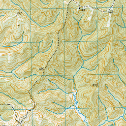
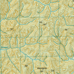
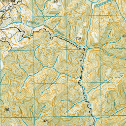
Topo Map showing location of Tahupo Hut
This information is sourced from DoC, LINZ and Openstreetmap. Some of the hut photos are mine and the rest are from DoC. I will be adding an upload feature soon so people can photos of .Tahupo Hut.
Basic info: standard six-bunk hut in the Whanganui region.
Latitude: -39.433058524
Longitude: 174.774420449
Location: WaitÅtara Conservation Area
Area: Manawatu/Whanganui
Type of Hut: Standard
Map: BJ31 Topo Map | Road Map
Does this hut still exist? Have any more information? Contact
Basic info: standard six-bunk hut in the Whanganui region.
Latitude: -39.433058524
Longitude: 174.774420449
Location: WaitÅtara Conservation Area
Area: Manawatu/Whanganui
Type of Hut: Standard
Map: BJ31 Topo Map | Road Map
Does this hut still exist? Have any more information? Contact
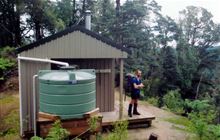
Image: DoC
Scroll down to see a topographical map and road map showing the location of Tahupo Hut
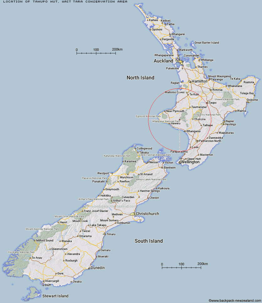

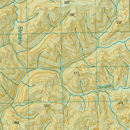
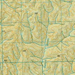

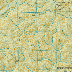
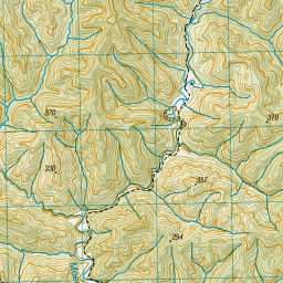


Leaflet | Sourced from LINZ. CC BY 4.0


Leaflet | Map data © OpenStreetMap contributors
[ A ] [ B ] [ C ] [ D ] [ E ] [ F ] [ G ] [ H ] [ I ] [ J ] [ K ] [ L ] [ M ] [ N ] [ O ] [ P ] [ Q ] [ R ] [ S ] [ T ] [ U ] [ V ] [ W ] [ Y ] [ Z ]
Closest 20 Huts to Tahupo Hut
These are as the crow fliesTrains Hut 6.42km Puteore Hut 7.2km Pouri Hut 12.51km Ngapurua Hut 13.43km Omaru Hut 16.43km Puketotara Hut 19.69km Tieke Kainga 21.59km John Coull Hut 25.22km Downes hut 44.72km Ohuraiti Hut 47.67km Rerekapa Hut 55.65km Waingongoro Hut 58.47km Hooker Shelter 60.4km Maketawa Hut 60.46km Lake Dive Hut 62.28km Syme Hut 62.43km Kaiauai Shelter 63.1km Mangaturuturu Hut 64.34km Lupton Hut 65.23km Holly Hut 65.24km Blyth Hut 65.49km Pouakai Hut 67.09km Kahui Hut 67.13km Waiaua Gorge Hut 67.32km Mangaehuehu Hut 67.4km Whakapapaiti Hut 67.51km Whangaehu Hut 71.98km Waiweranui Trust Hut 72.06km Ten Man Hut 74.21km Rangipo Hut 74.5km Mangatepopo Hut 77.69km Old Waihohonu Hut 81.17km Waihohonu Hut 81.76km Ketetahi Shelter 83.82km Zekes Hut 84.31km Oturere Hut 84.43km Westlawn Hut 92.99km Hauhungaroa Hut 99.48km Bob's Hut 104.16km Waipakihi Hut 107.54km