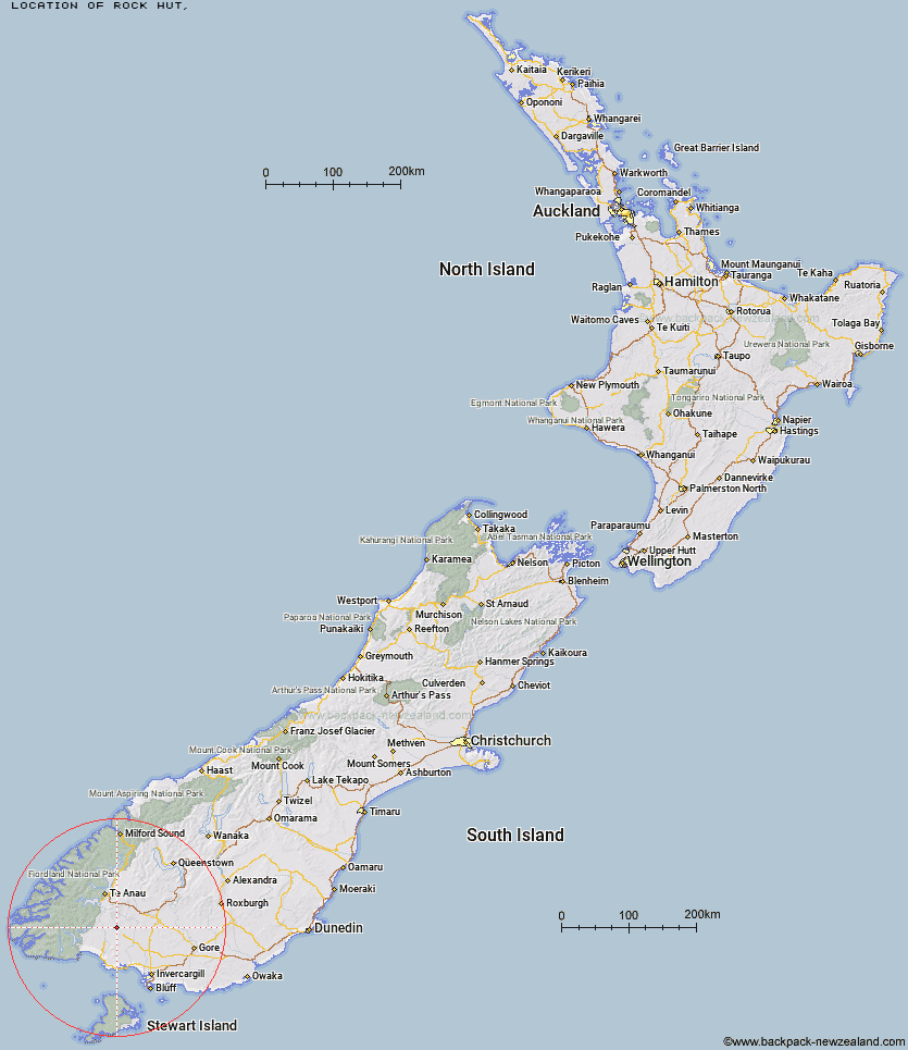
Topo Map showing location of Rock Hut
This information is sourced from DoC, LINZ and Openstreetmap. Some of the hut photos are mine and the rest are from DoC. I will be adding an upload feature soon so people can photos of .Rock Hut.
Latitude: -45.8372088824
Longitude: 167.886947772
Location:
Type of Hut:
Map: Topo Map | Road Map
Does this hut still exist? Have any more information? Contact
Latitude: -45.8372088824
Longitude: 167.886947772
Location:
Type of Hut:
Map: Topo Map | Road Map
Does this hut still exist? Have any more information? Contact
Scroll down to see a topographical map and road map showing the location of Rock Hut
[ A ] [ B ] [ C ] [ D ] [ E ] [ F ] [ G ] [ H ] [ I ] [ J ] [ K ] [ L ] [ M ] [ N ] [ O ] [ P ] [ Q ] [ R ] [ S ] [ T ] [ U ] [ V ] [ W ] [ Y ] [ Z ]
Closest 20 Huts to Rock Hut
These are as the crow fliesBarcoo Hut 3.28km Lower Wairaki Hut 7.65km Telford Hut 9.96km Upper Wairaki Hut 11.37km Redcliff Hut 13.75km Spence Hut 14.66km Aparima Huts 16.88km Aparima Forks Hut 18.75km Whare Creek Hut 19.39km Becketts Hut 22.15km Upper Princhester Hut 23.99km Cheviot Downs Hut 24.13km Lower Princhester Hut 27.55km Rodger Inlet Huts 34.45km North Borland Hut 35.36km Back Valley Hut 35.43km Green Lake Hut 38.17km Hope Arm Hut 38.42km Eel Creek Hut 40.99km Borland Bivouac 41.41km Monowai Hut 41.65km Clark Hut - A Frame 43.34km Oreti Hut 43.7km Shallow Bay Hut 43.78km Lower Windley Hut 43.89km Historic Clark Hut 44.44km Moturau Hut 44.98km Martin's Hut 47.38km Caroline Hut 48.13km Cromel Base Hut 49.22km Turnbull's (Big Dam) Hut 50.6km Brod Bay Shelter and Campsite 50.85km Mt Bee Bunkrooms 51.24km Islands Hut 51.59km Percy Shelter 51.71km Teal Bay Hut 52.4km Upper Windley Hut 52.41km Luxmore Hut 54.4km Cromel Branch Hut 54.67km Lincoln Hut 55.2km