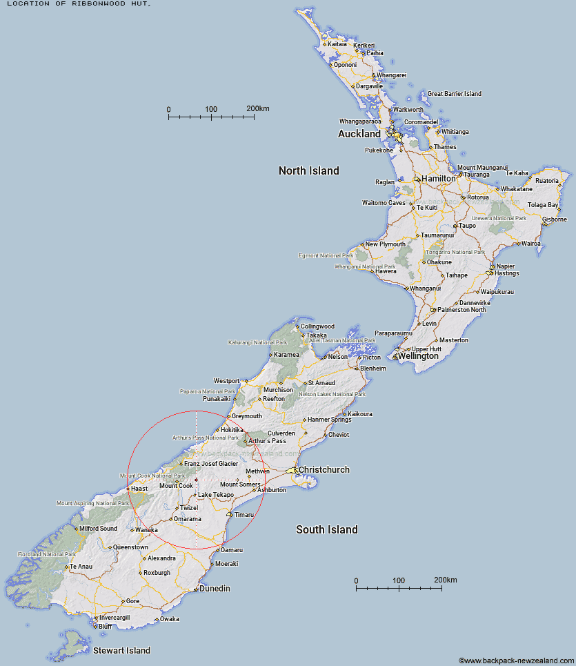
Topo Map showing location of Ribbonwood Hut
This information is sourced from DoC, LINZ and Openstreetmap. Some of the hut photos are mine and the rest are from DoC. I will be adding an upload feature soon so people can photos of .Ribbonwood Hut.
Latitude: -43.7068443594
Longitude: 170.508430418
Location:
Type of Hut:
Map: Topo Map | Road Map
Does this hut still exist? Have any more information? Contact
Latitude: -43.7068443594
Longitude: 170.508430418
Location:
Type of Hut:
Map: Topo Map | Road Map
Does this hut still exist? Have any more information? Contact
Scroll down to see a topographical map and road map showing the location of Ribbonwood Hut
[ A ] [ B ] [ C ] [ D ] [ E ] [ F ] [ G ] [ H ] [ I ] [ J ] [ K ] [ L ] [ M ] [ N ] [ O ] [ P ] [ Q ] [ R ] [ S ] [ T ] [ U ] [ V ] [ W ] [ Y ] [ Z ]
Closest 20 Huts to Ribbonwood Hut
These are as the crow fliesAngus Hut 6.42km Middle Gorge Hut 7.46km Tin Hut 9.56km Stony Stream Hut 9.63km Birdcage Hut 9.98km Ryders Hut 10.14km Memorial Hut 10.49km Rankin Hut 11.92km Rex Simpson Hut 12.04km Waterfall Hut 13.81km Camp Stream Hut 14.88km Macaulay Hut 16km Liebig Hut 18.12km Royal Hut 18.27km Red Stag Hut 18.54km Onslow Hut (Steffan Memorial Hut) 19.5km Littles Hut 19.74km Eade Memorial Hut 20.96km Stone Hut 21.24km Murchison Hut 22.87km Green Point Hut 23.49km Kelman Hut 24km Crooked Spur Hut 24.43km Felt Hut 25.16km Godley Hut 25.18km Tasman Saddle Hut 25.31km Carneys Bivvy's 26.5km South Opuha Hut 27.05km Ball Hut 27.13km Dog Kennel Bivouac 27.86km Caroline Hut 28.27km Growler Hut 28.61km Haast Hut 28.63km Forbes Bivouac 29.16km Plateau Hut 29.48km Jollie Hut 29.7km Murphys Bivvy 29.86km Centennial Hut 31.25km Black Mountain Hut 31.26km Whymper Hut 31.44km