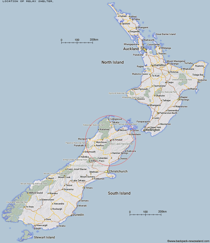
Topo Map showing location of Relax Shelter
This information is sourced from DoC, LINZ and Openstreetmap. Some of the hut photos are mine and the rest are from DoC. I will be adding an upload feature soon so people can photos of .Relax Shelter.
Latitude: -41.8350039378
Longitude: 172.809169243
Location:
Type of Hut:
Map: Topo Map | Road Map
Does this hut still exist? Have any more information? Contact
Latitude: -41.8350039378
Longitude: 172.809169243
Location:
Type of Hut:
Map: Topo Map | Road Map
Does this hut still exist? Have any more information? Contact
Scroll down to see a topographical map and road map showing the location of Relax Shelter
[ A ] [ B ] [ C ] [ D ] [ E ] [ F ] [ G ] [ H ] [ I ] [ J ] [ K ] [ L ] [ M ] [ N ] [ O ] [ P ] [ Q ] [ R ] [ S ] [ T ] [ U ] [ V ] [ W ] [ Y ] [ Z ]
Closest 20 Huts to Relax Shelter
These are as the crow fliesBushedge Shelter 0.41km Bushline Hut 1.18km Coldwater Hut 3.99km Lakehead Hut 4.64km Speargrass Hut 5.07km Angelus Hut 7.77km Hopeless Hut 11.47km Sabine Hut 12.89km Bull Paddock Creek Hut 15.49km D'Urville Hut 15.61km John Tait Hut 15.9km Mount Misery Hut 15.91km Top Misery Hut 16.27km Beebys Hut 16.37km Cupola Hut 16.48km Lost Stream Bivouac 18.17km Lees Creek Hut 18.24km Red Hills Hut 19.03km Mid Silverstream Hut 19.81km Silverstream Bivouac 19.83km Connors Creek Hut 19.96km Tiraumea Hut 20.5km Upper Travers Hut 21.19km Bottom Misery Hut 21.64km West Sabine Hut 21.84km Morgan Hut 22.08km Begley Hut 22.15km Siberia Hut 22.56km Branch Bivouac 23.67km Mole Hut 24.13km Greigs Hut 24.53km Porters Creek Hut 25.5km Top Leatham Hut 27.31km Blue Lake Hut 27.9km George Lyon Hut 29.03km Bottom Gordons Hut 29.19km Barbers Hut 29.98km Hunters Hut 30.73km Paske Hut 31.08km Matakitaki Base Hut 31.27km