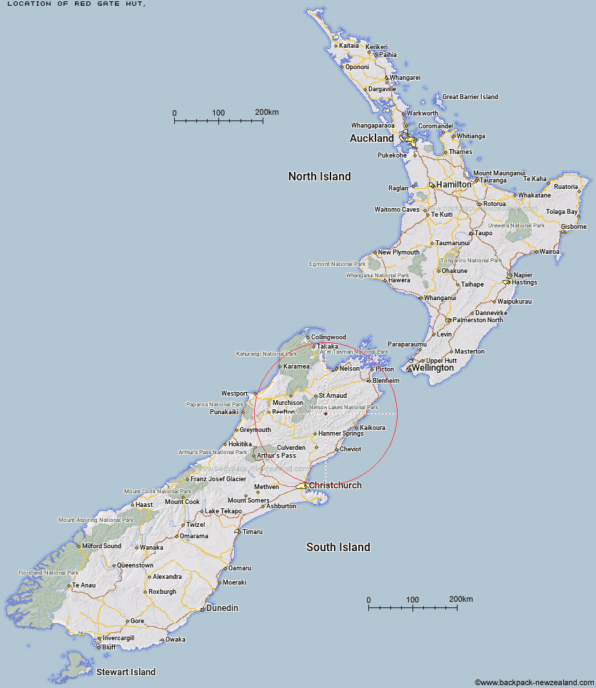
Topo Map showing location of Red Gate Hut
This information is sourced from DoC, LINZ and Openstreetmap. Some of the hut photos are mine and the rest are from DoC. I will be adding an upload feature soon so people can photos of .Red Gate Hut.
Latitude: -42.132467942
Longitude: 173.052813496
Location:
Type of Hut:
Map: Topo Map | Road Map
Does this hut still exist? Have any more information? Contact
Latitude: -42.132467942
Longitude: 173.052813496
Location:
Type of Hut:
Map: Topo Map | Road Map
Does this hut still exist? Have any more information? Contact
Scroll down to see a topographical map and road map showing the location of Red Gate Hut
[ A ] [ B ] [ C ] [ D ] [ E ] [ F ] [ G ] [ H ] [ I ] [ J ] [ K ] [ L ] [ M ] [ N ] [ O ] [ P ] [ Q ] [ R ] [ S ] [ T ] [ U ] [ V ] [ W ] [ Y ] [ Z ]
Closest 20 Huts to Red Gate Hut
These are as the crow fliesAcheron Hut 5.57km Severn Hut 7.96km Saxton Hut 11.86km Sedgemere Sleepout 12.62km Carters Yards Hut 13.58km Guide Hut 14.69km Team Hut 15.67km Junction Hut 16.63km Half Moon Hut 17.68km Top Leatham Hut 17.88km Yarra Hut 18km Island Gully Hut 18.76km Branch Bivouac 18.82km Connors Creek Hut 19.78km Munroe Hut 20.74km Lees Creek Hut 22.01km Lake McRae Hut 22.35km Begley Hut 23.63km Bottom Gordons Hut 23.94km Palmer Hut 24.52km Bottom Misery Hut 24.58km Paske Hut 24.72km Top Gordon Hut 25.23km Burnt Yards Hut 27.67km Upper Travers Hut 27.94km Top Misery Hut 28.04km Siberia Hut 28.21km Palmer Bivouac 28.23km Cloudy Hut 28.72km John Tait Hut 29.29km Lost Stream Bivouac 29.77km Seymour Hut 30.19km Fowlers Hut 31.09km Barbers Hut 31.41km Cupola Hut 31.89km Alfred Hut 32.43km Caroline Creek Bivouac 32.47km Greigs Hut 33.18km Hopeless Hut 33.21km West Sabine Hut 33.44km