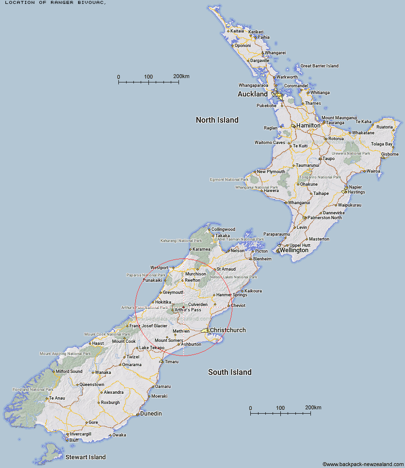
Topo Map showing location of Ranger Bivouac
This information is sourced from DoC, LINZ and Openstreetmap. Some of the hut photos are mine and the rest are from DoC. I will be adding an upload feature soon so people can photos of .Ranger Bivouac.
Latitude: -42.8556459953
Longitude: 171.896445875
Location:
Type of Hut:
Map: Topo Map | Road Map
Does this hut still exist? Have any more information? Contact
Latitude: -42.8556459953
Longitude: 171.896445875
Location:
Type of Hut:
Map: Topo Map | Road Map
Does this hut still exist? Have any more information? Contact
Scroll down to see a topographical map and road map showing the location of Ranger Bivouac
[ A ] [ B ] [ C ] [ D ] [ E ] [ F ] [ G ] [ H ] [ I ] [ J ] [ K ] [ L ] [ M ] [ N ] [ O ] [ P ] [ Q ] [ R ] [ S ] [ T ] [ U ] [ V ] [ W ] [ Y ] [ Z ]
Closest 20 Huts to Ranger Bivouac
These are as the crow fliesTrust/Poulter Hut 4.38km Poulter Hut 7.09km Bull Creek Hut 7.19km Worsley Bivouac 9.25km Minchin Bivouac 9.77km Candlesticks Bivouac 10.78km East Hawdon Bivouac 10.97km Poulter Bivouac 11.18km Turnbull Bivouac 11.21km Lochinvar Hut 12.58km Upper South Branch Hurunui Hut 12.6km Townsend Hut 13.26km Locke Stream Hut 13.96km Koropuku Hut 14.06km Harper Pass Bivouac 14.53km Hawdon Hut 14.7km Otehake Hut 15.14km North Esk Hut 15.41km Ant Stream Bivouac 16.33km Ant Stream Hut 16.34km Kiwi Hut 16.63km Camerons Hut 16.74km Andrews Shelter 17.54km Top Trent / Lagoon Hut 18.09km Mid Trent Hut 18.46km Riversdale Hut 18.7km Hurunui No 3 Hut 18.77km Sudden Valley Bivouac 18.8km Hawdon Shelter 19.05km South Branch Research Hut 19.32km Anna Hut 19.37km Pfeifer Bivouac 19.73km Stony Stream Hut 20.33km Elizabeth Hut 20.75km Anderson's Hut 21.81km Bush Camp Hut 22.03km Edwards Hut 22.39km Goat Pass Hut 22.71km Mingha Bivouac 22.96km Upper Deception Hut 22.99km