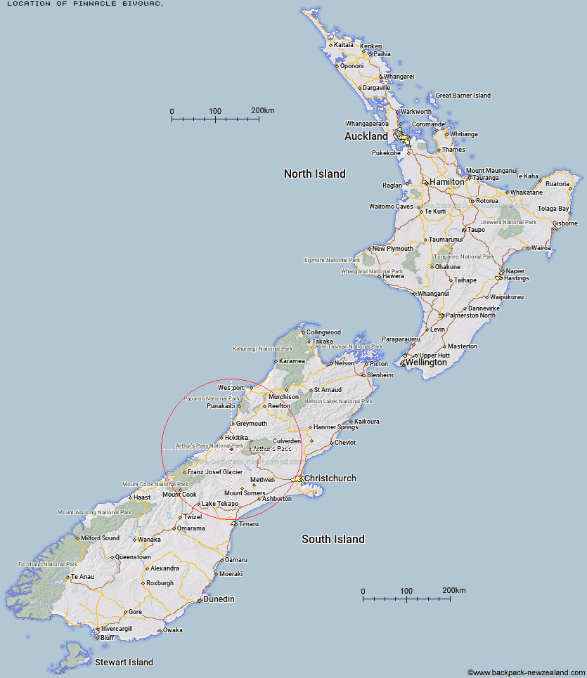
Topo Map showing location of Pinnacle Bivouac
This information is sourced from DoC, LINZ and Openstreetmap. Some of the hut photos are mine and the rest are from DoC. I will be adding an upload feature soon so people can photos of .Pinnacle Bivouac.
Latitude: -42.9378671844
Longitude: 171.17836635
Location:
Type of Hut:
Map: Topo Map | Road Map
Does this hut still exist? Have any more information? Contact
Latitude: -42.9378671844
Longitude: 171.17836635
Location:
Type of Hut:
Map: Topo Map | Road Map
Does this hut still exist? Have any more information? Contact
Scroll down to see a topographical map and road map showing the location of Pinnacle Bivouac
[ A ] [ B ] [ C ] [ D ] [ E ] [ F ] [ G ] [ H ] [ I ] [ J ] [ K ] [ L ] [ M ] [ N ] [ O ] [ P ] [ Q ] [ R ] [ S ] [ T ] [ U ] [ V ] [ W ] [ Y ] [ Z ]
Closest 20 Huts to Pinnacle Bivouac
These are as the crow fliesBoo Boo Hut 1.95km Adventure Bivouac 3.91km Cedar Flat Hut 3.94km Top Kokatahi Hut 5.1km Crawford Junction Hut 5.21km Yeats Ridge Hut 5.7km Crystal Bivouac 6.84km Mid Styx Hut 7.19km Gerhardt Spur Bivouac 7.74km Mt Brown Hut 7.85km Mullins Hut 7.92km Top Crawford Hut 8.18km Top Toaroha Hut 8.63km Browning Range Bivouac 8.65km Toaroha Saddle Bivouac 9.64km Mungo Hut 9.93km Newton Range Bivouac 10.03km Grassy Flat Hut 10.56km Poet Hut 11.11km Serpentine Hut 11.64km Frisco Hut 11.79km Harman Hut 11.84km Bluff Hut 12.81km Lower Arahura Hut 13.48km Sir Robert Hut 13.56km Park Morpeth Hut 13.83km Campbell Bivouac 15.11km Lower Olderog Bivouac 15.21km Urquhart's Hut 15.55km Rapid Creek Hut 15.88km Unknown Stream Hut 16.2km Frew Hut 16.57km Frew Saddle Bivouac 16.99km Mudflats Hut 17.01km Weka Burnet Bivouac 18.25km Top Olderog Bivouac 18.43km Barker Hut 18.73km Canyon Creek Bivouac 18.99km Newton Creek Hut 19.47km Julia Hut 20.54km