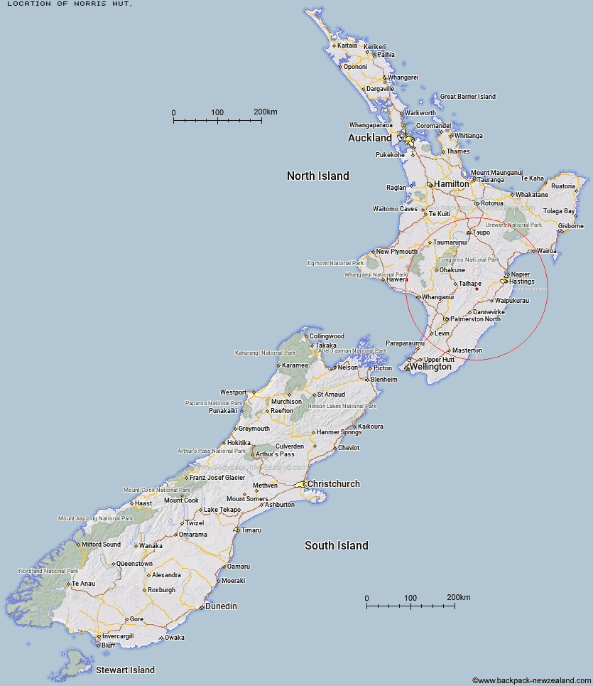
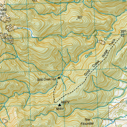
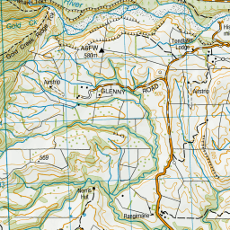
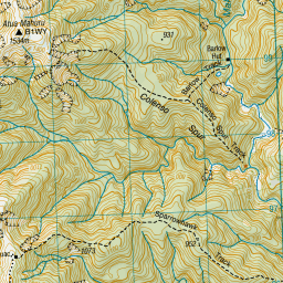
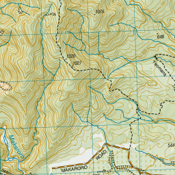
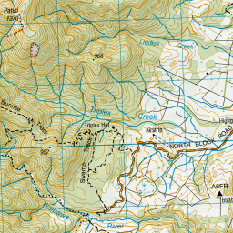
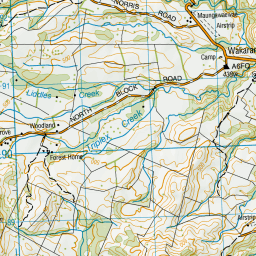
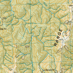
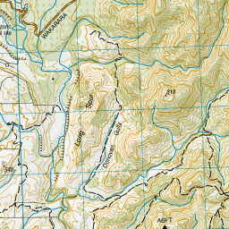
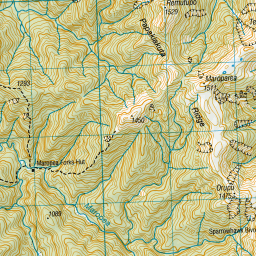
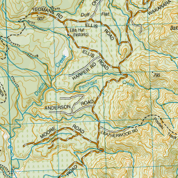
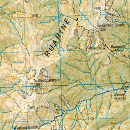
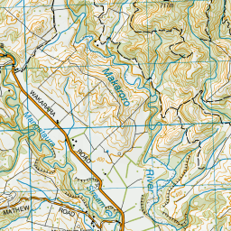
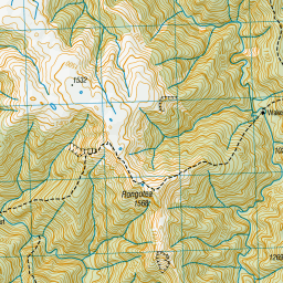
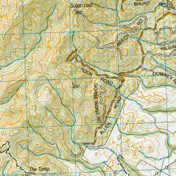
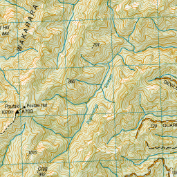
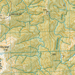
Topo Map showing location of Norris Hut
This information is sourced from DoC, LINZ and Openstreetmap. Some of the hut photos are mine and the rest are from DoC. I will be adding an upload feature soon so people can photos of .Norris Hut.
Latitude: -39.7688004421
Longitude: 176.238677684
Location:
Type of Hut:
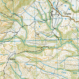
Map: Topo Map | Road Map
Does this hut still exist? Have any more information? Contact
Latitude: -39.7688004421
Longitude: 176.238677684
Location:
Type of Hut:
Map: Topo Map | Road Map
Does this hut still exist? Have any more information? Contact
Scroll down to see a topographical map and road map showing the location of Norris Hut


Leaflet | Sourced from LINZ. CC BY 4.0


Leaflet | Map data © OpenStreetMap contributors
[ A ] [ B ] [ C ] [ D ] [ E ] [ F ] [ G ] [ H ] [ I ] [ J ] [ K ] [ L ] [ M ] [ N ] [ O ] [ P ] [ Q ] [ R ] [ S ] [ T ] [ U ] [ V ] [ W ] [ Y ] [ Z ]
Closest 20 Huts to Norris Hut
These are as the crow fliesGold Creek Hut 3.63km Triplex Hut 4.41km Sparrowhawk Bivouac 6.12km Waipawa Forks Hut 6.36km Sunrise Hut 6.38km Barlow Hut 6.45km Top Maropea Hut 6.91km Ellis Hut 7.12km Poutaki Hut 7.93km Wakelings Hut 9.45km Maropea Forks Hut 9.59km Upper Makaroro Hut 9.9km Waikamaka Hut 10.15km Parks Peak Hut 10.2km Kylie Bivouac 10.45km Smiths Stream Hut 10.67km Tin Hut 11.18km Sentry Box Hut 11.7km Hinerua Hut 11.9km McKinnon Hut 12.38km Waterfall Hut 12.57km Crow Hut 13.12km Colenso Hut 13.68km Briens Hut 14.37km Otukota Hut 14.92km Aranga Hut 15.01km Tarn Bivouac 15.1km Iron Bark Hut 15.81km Ruahine Corner Hut 16.33km Purity Hut 16.6km Kawhatau Base 16.77km Pourangaki Hut 16.78km Rockslide Hut 17.12km Masters Shelter 17.12km Mistake Bivouac 17.69km Howletts Hut 17.87km Daphne Hut 17.96km Kelly Knight Hut 18.25km Ikawetea Forks Hut 20.17km Triangle Hut 20.53km