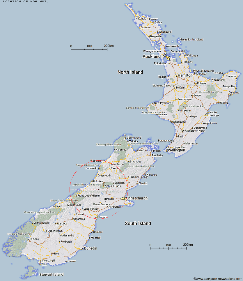
Topo Map showing location of Moa Hut
This information is sourced from DoC, LINZ and Openstreetmap. Some of the hut photos are mine and the rest are from DoC. I will be adding an upload feature soon so people can photos of .Moa Hut.
Latitude: -43.1087007899
Longitude: 171.322132269
Location:
Type of Hut:
Map: Topo Map | Road Map
Does this hut still exist? Have any more information? Contact
Latitude: -43.1087007899
Longitude: 171.322132269
Location:
Type of Hut:
Map: Topo Map | Road Map
Does this hut still exist? Have any more information? Contact
Scroll down to see a topographical map and road map showing the location of Moa Hut
[ A ] [ B ] [ C ] [ D ] [ E ] [ F ] [ G ] [ H ] [ I ] [ J ] [ K ] [ L ] [ M ] [ N ] [ O ] [ P ] [ Q ] [ R ] [ S ] [ T ] [ U ] [ V ] [ W ] [ Y ] [ Z ]
Closest 20 Huts to Moa Hut
These are as the crow fliesFanghill Hut 4.47km Moa Stream Hut 5.48km Unknown Stream Hut 6.18km Weka Burnet Bivouac 6.32km Manuels Hut 8.1km Urquhart's Hut 8.31km Back Basin Hide 9.35km Avoca Hut 10.73km Basins Hut 12.74km Old Basins Hut 12.88km Canyon Creek Bivouac 13.59km Mungo Hut 13.68km Sir Robert Hut 14.65km Barker Hut 14.66km Park Morpeth Hut 15.31km Toaroha Saddle Bivouac 15.88km Poet Hut 15.98km Moraine Hut 16.62km Bluff Hut 17.29km Top Toaroha Hut 17.3km Top Kokatahi Hut 17.67km Mathias Hut 17.76km Centennial Cabin 17.95km Crawford Junction Hut 17.96km Crystal Bivouac 18.58km Frew Saddle Bivouac 19.04km Frisco Hut 19.18km Carrington Hut 19.47km Anti Crow Hut 19.58km Top Crawford Hut 19.6km Yeats Ridge Hut 19.73km Adventure Bivouac 19.85km West Mathias Bivouac 19.93km Mullins Hut 20.39km Harman Hut 21.03km Cedar Flat Hut 21.72km Bealey Spur Hut 21.81km Pinnacle Bivouac 22.3km Serpentine Hut 22.38km Boo Boo Hut 22.44km