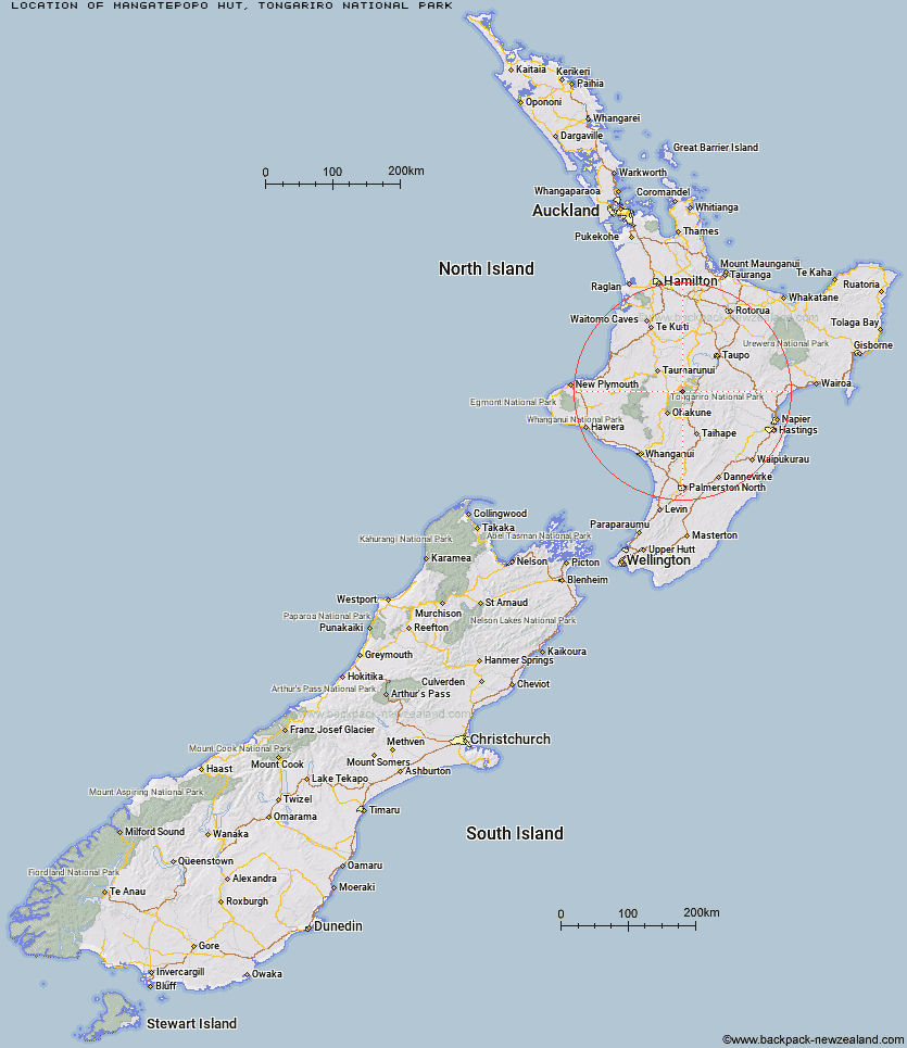
Topo Map showing location of Mangatepopo Hut
This information is sourced from DoC, LINZ and Openstreetmap. Some of the hut photos are mine and the rest are from DoC. I will be adding an upload feature soon so people can photos of .Mangatepopo Hut.
Basic info: 20-bunk hut located on the Tongariro Northern Circuit in Ruapehu.
Latitude: -39.1446582898
Longitude: 175.59668935
Location: Tongariro National Park
Area: Central North Island
Type of Hut: Great Walk
Tracks: Tongariro Northern Circuit
Map: BH34 Topo Map | Road Map
Does this hut still exist? Have any more information? Contact
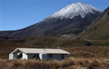
Image: DoC
Scroll down to see a topographical map and road map showing the location of Mangatepopo Hut
[ A ] [ B ] [ C ] [ D ] [ E ] [ F ] [ G ] [ H ] [ I ] [ J ] [ K ] [ L ] [ M ] [ N ] [ O ] [ P ] [ Q ] [ R ] [ S ] [ T ] [ U ] [ V ] [ W ] [ Y ] [ Z ]
Closest 20 Huts to Mangatepopo Hut
These are as the crow fliesKetetahi Shelter 6.34km Oturere Hut 8.13km Old Waihohonu Hut 9.72km Waihohonu Hut 10.17km Whakapapaiti Hut 12.38km Whangaehu Hut 15.34km Rangipo Hut 17.44km Mangaturuturu Hut 18.8km Ten Man Hut 19.18km Blyth Hut 21.7km Lupton Hut 21.88km Mangaehuehu Hut 22.43km Waipakihi Hut 31.27km Westlawn Hut 40.86km Bob's Hut 41.26km Te Apunga Hut 42.93km Hauhungaroa Hut 44.48km Cascade Hut 45.56km Zekes Hut 45.9km WTFRW Hut 45.92km Golden Hills Hut 48.98km Ohuraiti Hut 49.23km Waihaha Hut 50km Tussock Hut 53.39km Otutu Island Hut 54.97km Harkness Hut 55.67km Tieke Kainga 56.23km Otutu Hut 56.67km Ngaawapurua Hut 57.1km Puketotara Hut 58.06km Oamaru Hut 58.15km Te Puke (Te Pukeohikarua) Hut 58.86km Rock Camp Bivouac 58.98km Poronui Hut 59.4km Manson Hut 59.57km John Coull Hut 59.7km Old Manson Hut 59.84km Mangatainoka Hut 60.07km East Creek Hut 60.31km Omarukokere Bivouac 61.04km