Topo Map showing location of Makakoere Hut
This information is sourced from DoC, LINZ and Openstreetmap. Some of the hut photos are mine and the rest are from DoC. I will be adding an upload feature soon so people can photos of .Makakoere Hut.
Basic info: standard four-bunk hut in the Te Urewera area.
Latitude: -38.4782049601
Longitude: 177.248746159
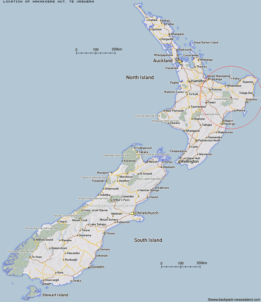
Location: Te Urewera
Area: East Coast
Type of Hut: Standard
Map: BF40 Topo Map | Road Map
Does this hut still exist? Have any more information? Contact
Basic info: standard four-bunk hut in the Te Urewera area.
Latitude: -38.4782049601
Longitude: 177.248746159
Location: Te Urewera
Area: East Coast
Type of Hut: Standard
Map: BF40 Topo Map | Road Map
Does this hut still exist? Have any more information? Contact
Scroll down to see a topographical map and road map showing the location of Makakoere Hut
[ A ] [ B ] [ C ] [ D ] [ E ] [ F ] [ G ] [ H ] [ I ] [ J ] [ K ] [ L ] [ M ] [ N ] [ O ] [ P ] [ Q ] [ R ] [ S ] [ T ] [ U ] [ V ] [ W ] [ Y ] [ Z ]
Closest 20 Huts to Makakoere Hut
These are as the crow fliesKahunui Hut 2.45km Tataweka Hut 3.47km Tawa Hut 5.08km Te Rangaakapua Hut 6.16km Otane Hut 7.73km Mangatoatoa Hut 8.98km Koranga Forks Hut 9.61km Te Pua Hut 9.96km Makomako Hut 12.28km Otapukawa Hut 12.9km Te Panaa Hut 13.09km Te Pourewa Hut 13.77km Nikau Flat Hut 14.12km Taurawharona Hut 14.38km Koaunui Hut 16.24km Otanetea Hut 17.05km Kotepato Hut 17.45km Waiawa Hut 20.01km Ohane Hut 20.69km Takurua Hut 21.05km Manuoha Hut 22.69km Tawhiwhi Hut 22.88km Waikare Junction Hut 23.5km Onepu Hut 23.59km Ngahiramai Hut 23.64km Kanohirua Hut 23.95km Sandy Bay Hut 25.29km Hanamahihi Hut 25.8km Ohora Hut 27.15km Manganuku Hut 28.13km Manaohou Right Branch Hut 29.72km Tokenui Hut 29.89km Wharekahika Hut 31.56km Savlon Hut 32.06km Whakatakaa Hut 32.09km Whanganui Hut 32.5km Brills Bivouac 32.66km Apiti Hut 33.04km Wahaatua Hut 34.18km Duckville Hut 34.69km