Topo Map showing location of Larrikin Creek Hut
This information is sourced from DoC, LINZ and Openstreetmap. Some of the hut photos are mine and the rest are from DoC. I will be adding an upload feature soon so people can photos of .Larrikin Creek Hut.
Basic info: standard 4-bunk hut in the Kahurangi National Park.
Latitude: -41.559918632
Longitude: 172.31610804
Location: Kahurangi National Park
Area: Nelson/Tasman
Type of Hut: Standard
Tracks: Matiri Valley and 1000 Acre Plateau tramping tracks
Map: BR23 Topo Map | Road Map
Does this hut still exist? Have any more information? Contact
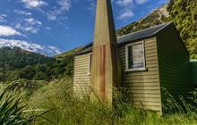
Image: DoC
Scroll down to see a topographical map and road map showing the location of Larrikin Creek Hut
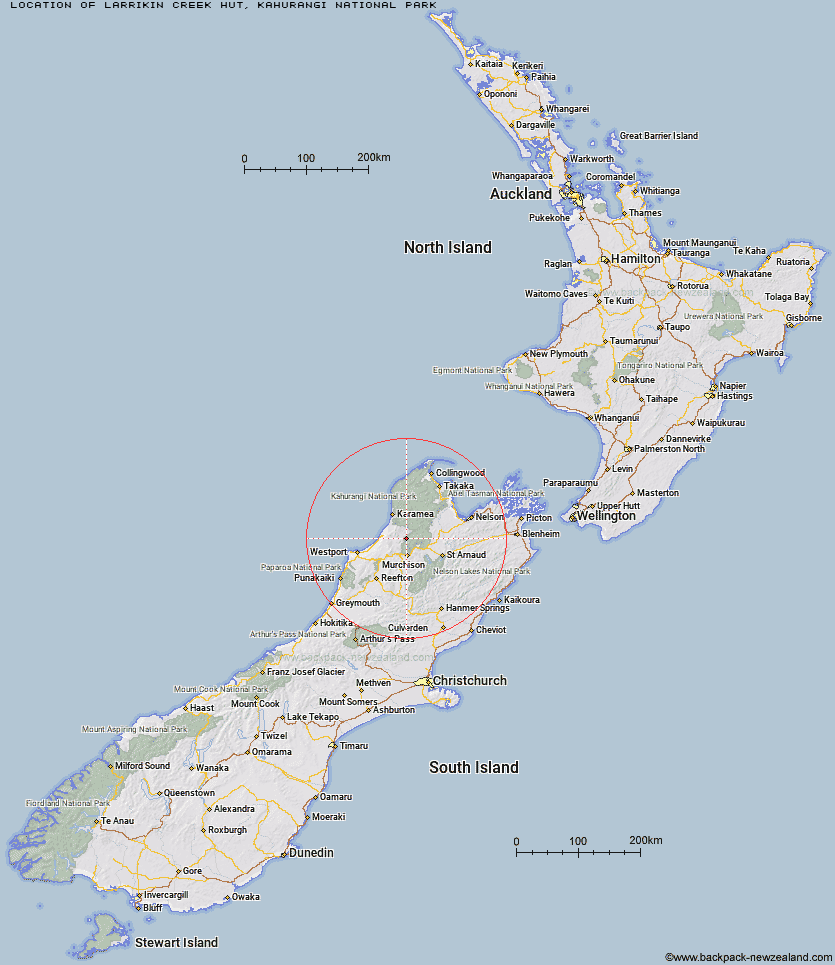

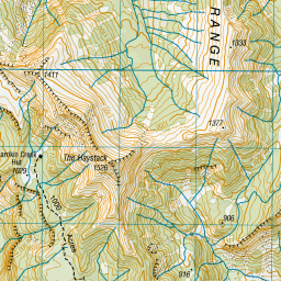

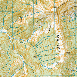
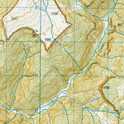
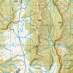
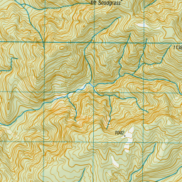
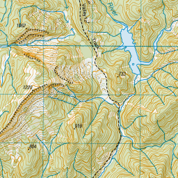
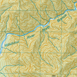
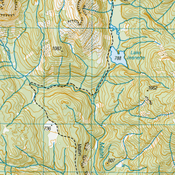
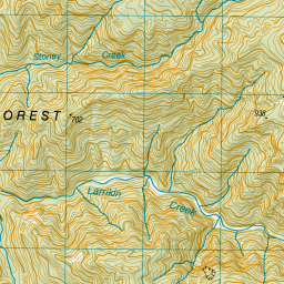
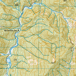
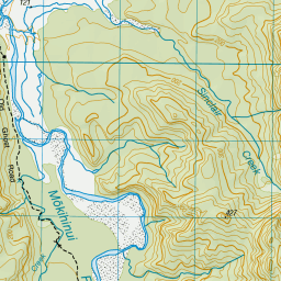
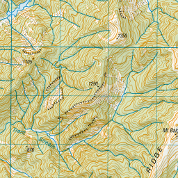
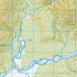
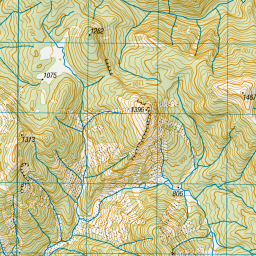
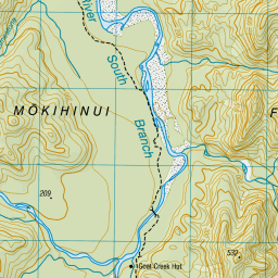
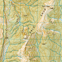

Leaflet | Sourced from LINZ. CC BY 4.0


Leaflet | Map data © OpenStreetMap contributors
[ A ] [ B ] [ C ] [ D ] [ E ] [ F ] [ G ] [ H ] [ I ] [ J ] [ K ] [ L ] [ M ] [ N ] [ O ] [ P ] [ Q ] [ R ] [ S ] [ T ] [ U ] [ V ] [ W ] [ Y ] [ Z ]
Closest 20 Huts to Larrikin Creek Hut
These are as the crow fliesLarrikin Creek Hut 0km McConchies Hut 5.05km Poor Pete's Hut 6.04km Hurricane Hut 8.1km Lake Matiri Hut 10.75km Johnson Hut 10.81km Goat Creek Hut 11.02km Mokihinui Forks Hut 11.52km Specimen Point Hut 13.74km Stern Valley Hut 15.1km Helicopter Flat Hut 16.43km Branch Creek Hut 16.7km Cecil Kings Hut 17.08km Kings Creek Hut 17.3km Taipo Hut 18.01km Stag Flat Shelter 18.26km Stone Hut 18.58km Trevor Carter Hut 19.03km Wangapeka Bivouac 20.29km Ghost Lake Hut 20.33km Granity Pass Hut 20.8km Kiwi Saddle Hut 22.58km Belltown Manunui Hut 24.28km Thor Hut 25.15km Kākāpō Hut 25.31km Lyell Saddle Hut 25.63km John Reid Hut 26.19km Venus Hut 28.92km Crow Hut 32.25km Greys Hut 35.83km Flanagans Hut 39.4km Karamea Bend Hut 39.81km Adams Flat Hut 41.21km Roaring Lion Hut 41.43km Sunshine Flat Shelter 44.15km Tiraumea Hut 44.53km Splugeons Rock Shelter 46.37km D'Urville Hut 47.2km Ellis Hut 47.26km Sabine Hut 48.56km