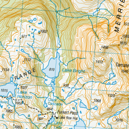
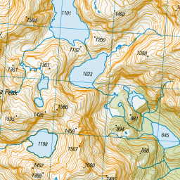
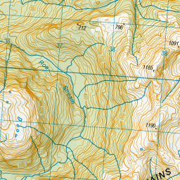
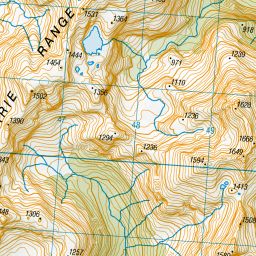
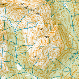
Topo Map showing location of Lake Roe Hut
This information is sourced from DoC, LINZ and Openstreetmap. Some of the hut photos are mine and the rest are from DoC. I will be adding an upload feature soon so people can photos of .Lake Roe Hut.
Basic info: standard 12-bunk hut in western Fiordland.
Latitude: -45.7035477323
Longitude: 167.14362372
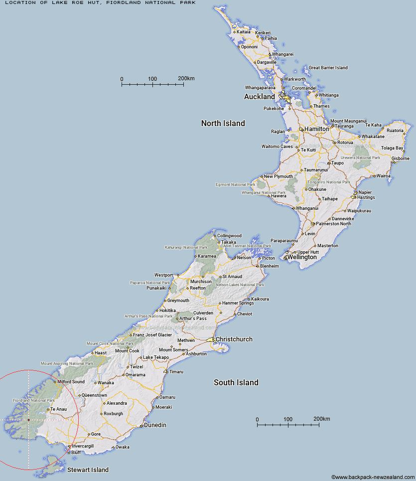
Location: Fiordland National Park
Area: Fiordland
Type of Hut: Standard
Tracks: Dusky Track
Map: CE06 Topo Map | Road Map
Does this hut still exist? Have any more information? Contact
Basic info: standard 12-bunk hut in western Fiordland.
Latitude: -45.7035477323
Longitude: 167.14362372
Location: Fiordland National Park
Area: Fiordland
Type of Hut: Standard
Tracks: Dusky Track
Map: CE06 Topo Map | Road Map
Does this hut still exist? Have any more information? Contact
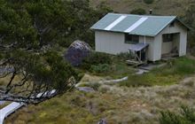
Image: DoC
Scroll down to see a topographical map and road map showing the location of Lake Roe Hut
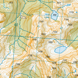
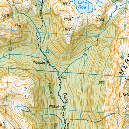
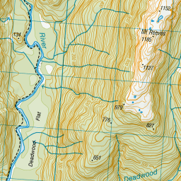
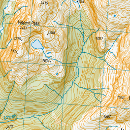
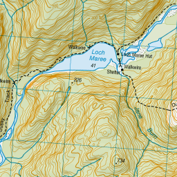
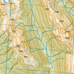
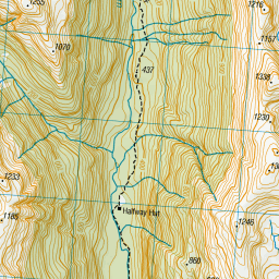
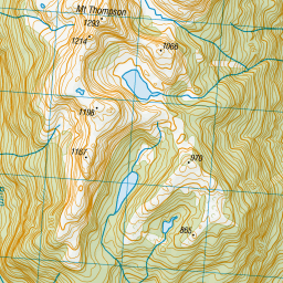
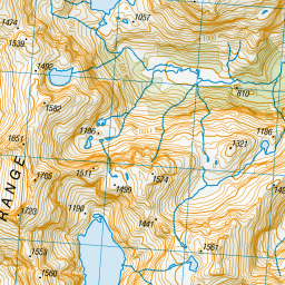
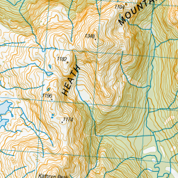
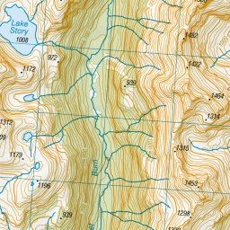
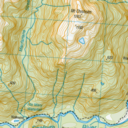
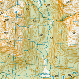

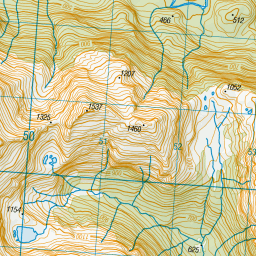

Leaflet | Sourced from LINZ. CC BY 4.0


Leaflet | Map data © OpenStreetMap contributors
[ A ] [ B ] [ C ] [ D ] [ E ] [ F ] [ G ] [ H ] [ I ] [ J ] [ K ] [ L ] [ M ] [ N ] [ O ] [ P ] [ Q ] [ R ] [ S ] [ T ] [ U ] [ V ] [ W ] [ Y ] [ Z ]
Closest 20 Huts to Lake Roe Hut
These are as the crow fliesHalfway Hut 6.25km Loch Maree Hut 6.4km Kintail Hut 10.12km Upper Spey Hut 13.79km Hauroko Burn Hut 14.13km Supper Cove Hut 15.46km Historic Clark Hut 16.29km Clark Hut - A Frame 17.6km Borland Bivouac 18.14km Percy Shelter 18.91km Monowai Hut 21.59km West Arm Hut 21.87km Green Lake Hut 21.89km Eel Creek Hut 26.08km North Borland Hut 26.67km Caroline Hut 28.57km Rodger Inlet Huts 28.86km Hope Arm Hut 33.4km Freeman Burn Hut 34.61km Back Valley Hut 35.92km Teal Bay Hut 42.03km Shallow Bay Hut 43.32km Moturau Hut 43.92km Iris Burn Hut 44.25km Lake Poteriteri Hut 45.3km Hanging Valley Shelter 46.97km The Gut Hut 47.65km Forest Burn Shelter 48.29km Cheviot Downs Hut 50.51km Luxmore Hut 51.23km Okaka Lodge 52.27km Brod Bay Shelter and Campsite 53.04km Redcliff Hut 53.1km Whare Creek Hut 53.17km Slaughterburn Hut 54.67km Telford Hut 54.79km Spence Hut 57.09km Stantley Burn Hut 57.34km Upper Wairaki Hut 58km Barcoo Hut 58km