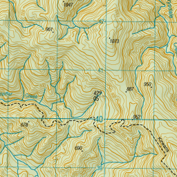
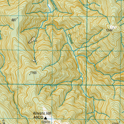
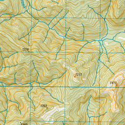
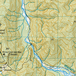
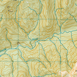
Topo Map showing location of Kirwans Hut
This information is sourced from DoC, LINZ and Openstreetmap. Some of the hut photos are mine and the rest are from DoC. I will be adding an upload feature soon so people can photos of .Kirwans Hut.
Basic info: serviced 12-bunk hut in the Greymouth area.
Latitude: -42.1031466011
Longitude: 172.010001101
Location: Victoria Forest Park
Area: West Coast
Type of Hut: Serviced
Tracks: Kirwans Track and Waitahu Valley|Reefton mountain bike tracks
Map: BS22 Topo Map | Road Map
Does this hut still exist? Have any more information? Contact
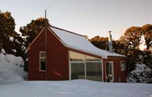
Image: DoC
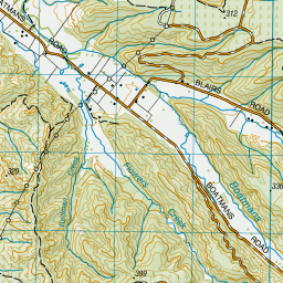
Scroll down to see a topographical map and road map showing the location of Kirwans Hut
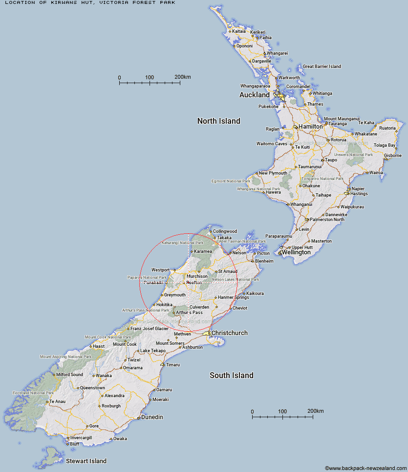
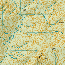
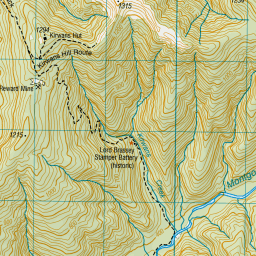
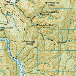
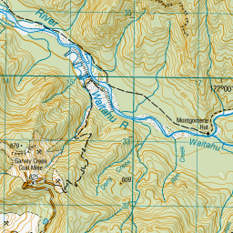
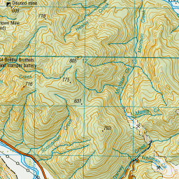
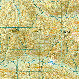

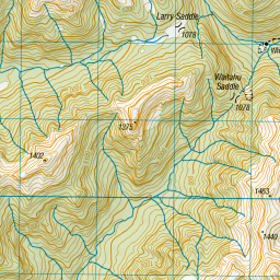
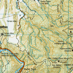
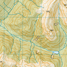

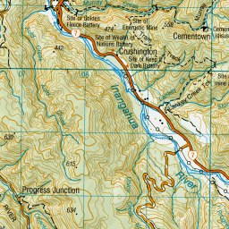


Leaflet | Sourced from LINZ. CC BY 4.0


Leaflet | Map data © OpenStreetMap contributors
[ A ] [ B ] [ C ] [ D ] [ E ] [ F ] [ G ] [ H ] [ I ] [ J ] [ K ] [ L ] [ M ] [ N ] [ O ] [ P ] [ Q ] [ R ] [ S ] [ T ] [ U ] [ V ] [ W ] [ Y ] [ Z ]
Closest 20 Huts to Kirwans Hut
These are as the crow fliesMontgomerie Hut 5.26km Wheel Creek Hut 10.68km Top Waitahu Bivouac 13.86km Big River Hut 18.45km Lake Stream Hut 18.97km Manson-Nicholls Memorial Hut 32.15km Nardoo Hut 34.68km Pell Stream Hut 36.57km Burn Creek Hut 36.7km Buckland Peaks Hut 40.47km Bobs Hut 41.47km Lake Christabel Hut 42.27km Downie Hut 42.59km Cannibal Gorge Hut 42.59km Lyell Saddle Hut 42.82km Ada Pass Hut 43.12km Matakitaki Base Hut 43.18km Brass Monkey Bivouac 43.26km Jim's Flat Hut 43.44km Top Robinson Hut 43.96km Mid Robinson Hut 44.49km Lucretia Hut 45.54km Upper Nina Bivouac 46.1km East Matakitaki Hut 46.27km Ghost Lake Hut 46.49km Nina Hut 47.81km Devils Den Bivouac 48.75km Mole Hut 49.03km Upper D'Urville Hut 49.14km Christopher Cullers Hut 49.37km George Lyon Hut 49.51km Slaty Creek Hut 49.53km Doubtless Hut 49.85km Christopher Hut 50.15km Anne Cullers Hut 50.25km Anne Hut 50.85km Stern Valley Hut 51.31km Meikles Hut 51.71km Tiraumea Hut 52km Rokeby Hut 52.38km