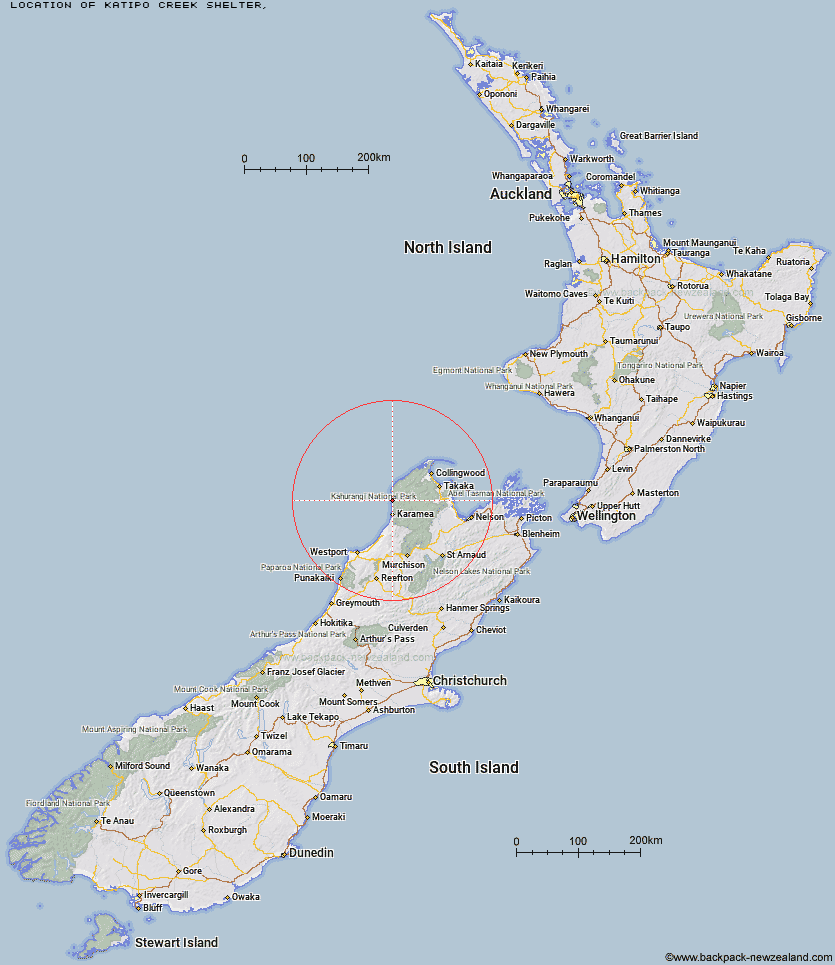
Topo Map showing location of Katipo Creek Shelter
This information is sourced from DoC, LINZ and Openstreetmap. Some of the hut photos are mine and the rest are from DoC. I will be adding an upload feature soon so people can photos of .Katipo Creek Shelter.
Latitude: -41.0442595402
Longitude: 172.106894192
Location:
Type of Hut:
Map: Topo Map | Road Map
Does this hut still exist? Have any more information? Contact
Latitude: -41.0442595402
Longitude: 172.106894192
Location:
Type of Hut:
Map: Topo Map | Road Map
Does this hut still exist? Have any more information? Contact
Scroll down to see a topographical map and road map showing the location of Katipo Creek Shelter
[ A ] [ B ] [ C ] [ D ] [ E ] [ F ] [ G ] [ H ] [ I ] [ J ] [ K ] [ L ] [ M ] [ N ] [ O ] [ P ] [ Q ] [ R ] [ S ] [ T ] [ U ] [ V ] [ W ] [ Y ] [ Z ]
Closest 20 Huts to Katipo Creek Shelter
These are as the crow fliesHeaphy Hut 6.41km Kohaihai Shelter 7.21km Lewis Hut 12.09km Sunshine Flat Shelter 16.28km Adams Flat Hut 19.2km James Mackay Hut 19.87km Saxon Hut 24.37km Ministry of Works Historic Hut 25.07km Greys Hut 25.87km Gouland Downs Hut 26.83km Perry Saddle Hut 29.51km Roaring Lion Hut 32.27km Fenella Hut 35.08km Cobb Hut 35.09km Belltown Manunui Hut 35.67km Brown Hut 35.8km Kākāpō Hut 36.03km Tent Camp 36.1km Adelaide Tarn Hut 38.34km Lonely Lake Hut 38.46km Chaffey Hut 39.29km Karamea Bend Hut 39.83km Wangapeka Bivouac 39.93km Crow Hut 41.05km Venus Hut 41.16km Soper Shelter 41.32km Stag Flat Shelter 42.22km Boulder Lake Hut 42.75km Taipo Hut 42.96km Trilobite Hut 43.17km Anatoki Forks Hut 43.67km Thor Hut 44.1km Myttons Hut 44.32km Balloon Hut 45.37km Sylvester Hut 45.57km Splugeons Rock Shelter 45.68km Trevor Carter Hut 45.93km Helicopter Flat Hut 46.48km Waingaro Forks Hut 47.58km Flanagans Hut 47.79km