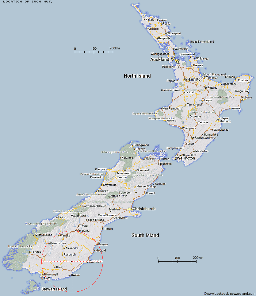
Topo Map showing location of Iron Hut
This information is sourced from DoC, LINZ and Openstreetmap. Some of the hut photos are mine and the rest are from DoC. I will be adding an upload feature soon so people can photos of .Iron Hut.
Latitude: -45.845115992
Longitude: 169.780144187
Location:
Type of Hut:
Map: Topo Map | Road Map
Does this hut still exist? Have any more information? Contact
Latitude: -45.845115992
Longitude: 169.780144187
Location:
Type of Hut:
Map: Topo Map | Road Map
Does this hut still exist? Have any more information? Contact
Scroll down to see a topographical map and road map showing the location of Iron Hut
[ A ] [ B ] [ C ] [ D ] [ E ] [ F ] [ G ] [ H ] [ I ] [ J ] [ K ] [ L ] [ M ] [ N ] [ O ] [ P ] [ Q ] [ R ] [ S ] [ T ] [ U ] [ V ] [ W ] [ Y ] [ Z ]
Closest 20 Huts to Iron Hut
These are as the crow fliesTent Hut 20.34km The Swamp Hut 30.42km Howells Hut 36.82km Canadian Hut 37.26km Poplar Hut 47.53km Mt John Hut 50.83km Big Hut 50.97km Ben Rudds Hut 52.95km Christmas Creek Hut 53.02km Leaning Lodge 53.02km Jubilee Hut 53.07km Beaumont Hut 53.73km Possum Hut 55.28km Bendoran Hut 56.06km Leithen Hut 56.96km Philip J Cox Memorial Hut 57.56km Junction Hut 59.4km Stronach Hut 62.16km Black Hut 63.96km Christies Hut 65.67km Potters Huts 67.87km Andrew Rees Hut 68.26km Bush Huts 69.22km Titan Huts 70.99km Nicholsons Hut 71.63km McLennan Hut 72.81km Diggers Hut 73.16km McCrimmons Hut 73.9km Junction Hut 75.55km Boundary Hut 75.65km Flaxy Hut 75.73km Blue Lake Huts 77km Hyde Home Hut 78.57km Sullivan Hut 80.25km Jim Baird Hut 81.8km Whites Hut 81.85km Dome Hut 82.82km Tautuku Hut 86.24km Old Woman Hut 89.85km Slate Hut 90.21km