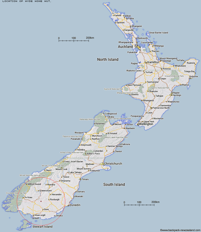
Topo Map showing location of Hyde Home Hut
This information is sourced from DoC, LINZ and Openstreetmap. Some of the hut photos are mine and the rest are from DoC. I will be adding an upload feature soon so people can photos of .Hyde Home Hut.
Latitude: -45.6305507948
Longitude: 168.815502592
Location:
Type of Hut:
Map: Topo Map | Road Map
Does this hut still exist? Have any more information? Contact
Latitude: -45.6305507948
Longitude: 168.815502592
Location:
Type of Hut:
Map: Topo Map | Road Map
Does this hut still exist? Have any more information? Contact
Scroll down to see a topographical map and road map showing the location of Hyde Home Hut
[ A ] [ B ] [ C ] [ D ] [ E ] [ F ] [ G ] [ H ] [ I ] [ J ] [ K ] [ L ] [ M ] [ N ] [ O ] [ P ] [ Q ] [ R ] [ S ] [ T ] [ U ] [ V ] [ W ] [ Y ] [ Z ]
Closest 20 Huts to Hyde Home Hut
These are as the crow fliesSullivan Hut 2.4km Jim Baird Hut 3.23km Dome Hut 8.76km Flaxy Hut 8.77km Junction Hut 10.1km Titan Huts 15.57km Black Hut 16.47km Stronach Hut 17.3km Mud Hut 17.31km Slate Hut 18.53km Blue Lake Huts 19.31km Garston Ski Hut 20.32km Leithen Hut 23.48km Bush Huts 24.44km Christies Hut 26.86km Beaumont Hut 27.65km Junction Hut 31.63km McCrimmons Hut 33.67km Mansion Hut 33.75km Andrew Rees Hut 33.98km Potters Huts 34.19km Diggers Hut 35.81km Mt Bee Bunkrooms 36.41km Baileys Hut 36.97km Cromel Base Hut 37.35km Mitchells Hut 37.74km Shepherd Creek Hut 39.07km Cowshed Hut 39.32km Cromel Branch Hut 39.53km Irthing Hut 40.39km Ross Hut 41.25km Boundary Hut 42.17km Nicholsons Hut 42.28km Upper Cromel Hut 43.21km Dog Box Bivouac 43.86km Islands Hut 44.7km Siberia Hut 45.34km Billy Hut 47.46km Whites Hut 47.74km Upper Windley Hut 49.25km