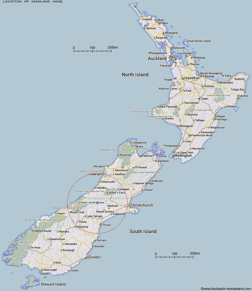
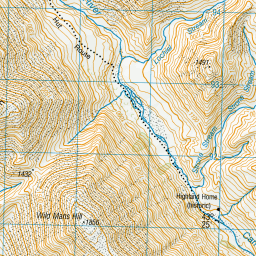
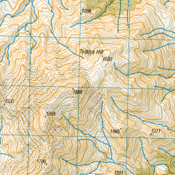
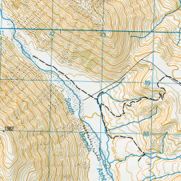
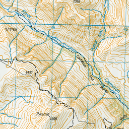
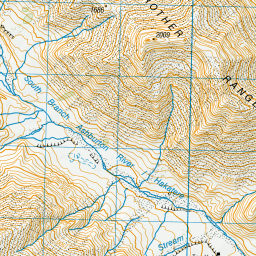
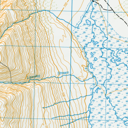
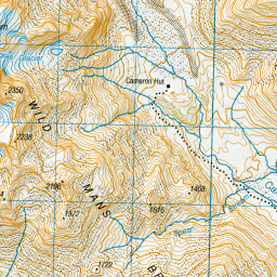
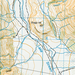
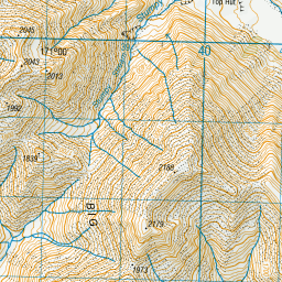
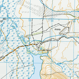
Topo Map showing location of Highland Home
This information is sourced from DoC, LINZ and Openstreetmap. Some of the hut photos are mine and the rest are from DoC. I will be adding an upload feature soon so people can photos of .Highland Home.
Latitude: -43.4152049417
Longitude: 171.072810153
Location:
Type of Hut:
Map: Topo Map | Road Map
Does this hut still exist? Have any more information? Contact
Latitude: -43.4152049417
Longitude: 171.072810153
Location:
Type of Hut:
Map: Topo Map | Road Map
Does this hut still exist? Have any more information? Contact
Scroll down to see a topographical map and road map showing the location of Highland Home
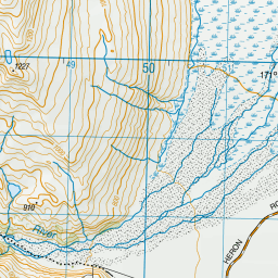
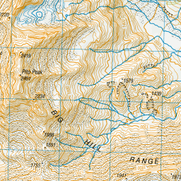
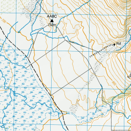
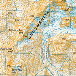
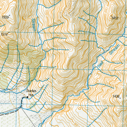
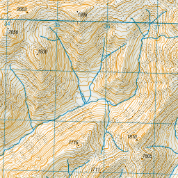

Leaflet | Sourced from LINZ. CC BY 4.0


Leaflet | Map data © OpenStreetMap contributors
[ A ] [ B ] [ C ] [ D ] [ E ] [ F ] [ G ] [ H ] [ I ] [ J ] [ K ] [ L ] [ M ] [ N ] [ O ] [ P ] [ Q ] [ R ] [ S ] [ T ] [ U ] [ V ] [ W ] [ Y ] [ Z ]
Closest 20 Huts to Highland Home
These are as the crow fliesTop Hut 3.6km Cameron Hut 6.94km Charlies Hut 9.18km Downs Hut 10.07km Potts Hut 11.79km Thompsons Hut 11.84km Boundary Creek Hut 12.71km Banfield Hut 13.05km Hermitage Hut 13.39km Lawrence Bivouac 14.39km Lawrence Hut 15.19km Jellicoe Hut 15.31km Washbourne Hut 16.06km Reischek Hut 17.43km Double Hut 17.61km Evans Hut 17.62km Erewhon Station Hut 18.45km Lyell Hut 18.45km Lauper Bivouac 18.49km Manuka Hut 19.86km Watchdog Hut 22.99km Comyns Hut 23.82km A Frame Hut 24.31km McCoy Hut 24.36km Black Mountain Hut 24.6km Mathias Hut 25.8km Centennial Cabin 26.32km Moraine Hut 26.76km Neave Hut 27.1km West Mathias Bivouac 27.68km Three Creeks Hut 27.8km Dog Kennel Bivouac 28.3km Growler Hut 28.98km Woolshed Creek Hut 29.06km Lagoon Hut 29.07km Smyth Hut 29.23km Curtis Memorial Hut 29.39km Wilkinson Hut 29.51km Mistake Flats Hut 30.83km Cookies Hut 30.84km