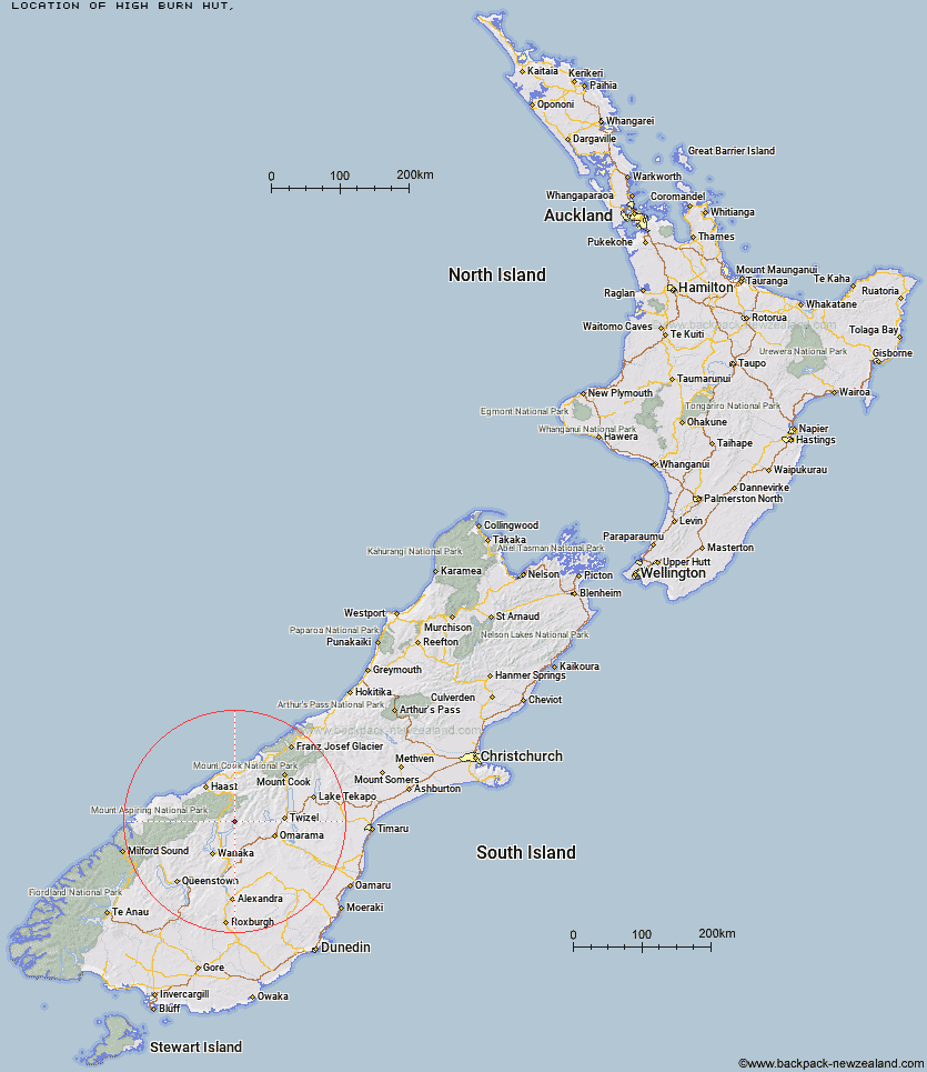
Topo Map showing location of High Burn Hut
This information is sourced from DoC, LINZ and Openstreetmap. Some of the hut photos are mine and the rest are from DoC. I will be adding an upload feature soon so people can photos of .High Burn Hut.
Latitude: -44.2998570388
Longitude: 169.425221621
Location:
Type of Hut:
Map: Topo Map | Road Map
Does this hut still exist? Have any more information? Contact
Latitude: -44.2998570388
Longitude: 169.425221621
Location:
Type of Hut:
Map: Topo Map | Road Map
Does this hut still exist? Have any more information? Contact
Scroll down to see a topographical map and road map showing the location of High Burn Hut
[ A ] [ B ] [ C ] [ D ] [ E ] [ F ] [ G ] [ H ] [ I ] [ J ] [ K ] [ L ] [ M ] [ N ] [ O ] [ P ] [ Q ] [ R ] [ S ] [ T ] [ U ] [ V ] [ W ] [ Y ] [ Z ]
Closest 20 Huts to High Burn Hut
These are as the crow fliesHigh Burn Hut 0km Green Bush Hut 6.08km Little Boundary Hut 6.4km Boundary Hut 7.35km Big Hopwood Burn Hut 8.05km Ben Avon Hut 9.57km Cotters Hut 10.09km Top Dingle Hut 10.65km Bush Hut 12.46km Cameron Hut 14.19km Ahuriri Base Hut 14.2km Scrubby Hut 15.14km Mae West Bivouac 17.43km Bull Flat Hut 18.15km Sawyer Burn Hut 18.57km Shamrock Hut 18.82km Makarora Hut 19km Top Timaru Hut 19.91km Hideaway Hut 20.98km Craigie Burn Hut 21.03km Moonlight & Roses Hut 21.66km Snowy Gorge Hut 21.77km Ferguson Hut 22.4km Hagens Hut 23.44km Brewster Hut 23.6km Burnt Bush Hut 24.22km Junction Hut 25.67km Maitland Hut 26.94km Stodys Hut 27.18km Top Hut 27.5km Wills Hut 29.2km Young Hut 30.12km Siberia Hut 30.83km Albert Burn Hut 31.39km Kerin Forks Hut 31.71km Pakituhi Hut 31.85km South Temple Hut 31.91km Forbes Hut 31.92km Wanaka Faces Hut 34.24km South Huxley Bivouac 37.82km