Topo Map showing location of Happy Daze Hut
This information is sourced from DoC, LINZ and Openstreetmap. Some of the hut photos are mine and the rest are from DoC. I will be adding an upload feature soon so people can photos of .Happy Daze Hut.
Basic info: basic three-bunk hut in the Hawke's Bay region.
Latitude: -39.9971386371
Longitude: 176.141522498
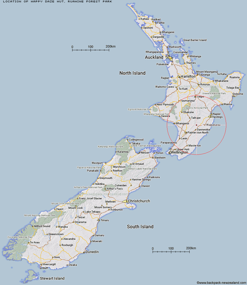
Location: Ruahine Forest Park
Area: Hawke's Bay
Type of Hut: Basic/bivvies
Map: BL36 Topo Map | Road Map
Does this hut still exist? Have any more information? Contact
Basic info: basic three-bunk hut in the Hawke's Bay region.
Latitude: -39.9971386371
Longitude: 176.141522498
Location: Ruahine Forest Park
Area: Hawke's Bay
Type of Hut: Basic/bivvies
Map: BL36 Topo Map | Road Map
Does this hut still exist? Have any more information? Contact

Image: DoC
Scroll down to see a topographical map and road map showing the location of Happy Daze Hut
[ A ] [ B ] [ C ] [ D ] [ E ] [ F ] [ G ] [ H ] [ I ] [ J ] [ K ] [ L ] [ M ] [ N ] [ O ] [ P ] [ Q ] [ R ] [ S ] [ T ] [ U ] [ V ] [ W ] [ Y ] [ Z ]
Closest 20 Huts to Happy Daze Hut
These are as the crow fliesMakaretu Hut 2.23km Awatere Hut 2.93km Top Gorge Hut 4.56km Longview Hut 5.35km Leon Kinvig Hut 5.63km Toka Bivouac 6.09km Ngamoko Hut 8.66km Daphne Hut 9.34km Cattle Creek Hut 10.12km Howletts Hut 10.4km Iron Gate Hut 10.62km Mid Pohangina Hut 10.99km Alice Nash Memorial Heritage Lodge 11.56km Piripiri Hut 11.59km Triangle Hut 11.74km Tarn Bivouac 12.63km Stanfield Hut 12.85km Hinerua Hut 15.24km Rangiwahia Hut 15.81km Pourangaki Hut 16.25km Traverse (A Frame) Hut 16.35km Smiths Stream Hut 16.64km Kelly Knight Hut 18km Waterfall Hut 18.85km Diggers Hut 19.56km Waikamaka Hut 20.64km Purity Hut 20.96km Forks Hut 21.51km Te Ekaou Hut 22.17km Waipawa Forks Hut 22.25km Triplex Hut 23.17km Sunrise Hut 23.42km McKinnon Hut 24.29km Top Maropea Hut 24.8km Crow Hut 26.04km Gold Creek Hut 26.59km Norris Hut 26.71km Wakelings Hut 26.99km Kawhatau Base 27.66km Kiritaki Hut 28.45km