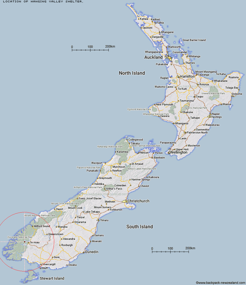
Topo Map showing location of Hanging Valley Shelter
This information is sourced from DoC, LINZ and Openstreetmap. Some of the hut photos are mine and the rest are from DoC. I will be adding an upload feature soon so people can photos of .Hanging Valley Shelter.
Latitude: -45.3828284225
Longitude: 167.536178638
Location:
Type of Hut:
Map: Topo Map | Road Map
Does this hut still exist? Have any more information? Contact
Latitude: -45.3828284225
Longitude: 167.536178638
Location:
Type of Hut:
Map: Topo Map | Road Map
Does this hut still exist? Have any more information? Contact
Scroll down to see a topographical map and road map showing the location of Hanging Valley Shelter
[ A ] [ B ] [ C ] [ D ] [ E ] [ F ] [ G ] [ H ] [ I ] [ J ] [ K ] [ L ] [ M ] [ N ] [ O ] [ P ] [ Q ] [ R ] [ S ] [ T ] [ U ] [ V ] [ W ] [ Y ] [ Z ]
Closest 20 Huts to Hanging Valley Shelter
These are as the crow fliesHanging Valley Shelter 0km Iris Burn Hut 2.76km Forest Burn Shelter 2.88km Luxmore Hut 6.49km Brod Bay Shelter and Campsite 11.07km Moturau Hut 12.44km Shallow Bay Hut 13.66km Freeman Burn Hut 13.69km Hope Arm Hut 23.03km Back Valley Hut 24.46km Robin Saddle Hut 25.28km Junction Burn Hut 25.95km West Arm Hut 26.56km Percy Shelter 28.3km Cheviot Downs Hut 33.85km North Borland Hut 33.92km Upper Spey Hut 36.43km Lake Hankinson Hut 37.51km Whare Creek Hut 38.94km Upper Princhester Hut 39.69km Lake Thomson Hut 39.75km Lower Princhester Hut 39.97km Army Hut 40.91km Caswell Sound Hut 41.27km Kintail Hut 41.69km Borland Bivouac 41.73km Kiwi Burn Hut 43.44km Redcliff Hut 43.88km Aparima Forks Hut 44.38km Glaisnock Hut 44.59km Spence Hut 44.72km George Sound Hut 44.99km Green Lake Hut 46.02km The Gut Hut 46.35km Lake Roe Hut 46.97km Becketts Hut 47.33km Oreti Hut 47.38km Telford Hut 47.64km Historic Clark Hut 47.77km Upper Wairaki Hut 47.84km