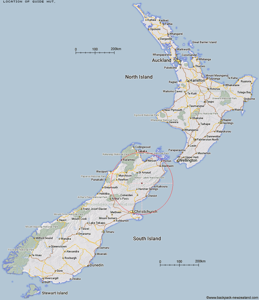
Topo Map showing location of Guide Hut
This information is sourced from DoC, LINZ and Openstreetmap. Some of the hut photos are mine and the rest are from DoC. I will be adding an upload feature soon so people can photos of .Guide Hut.
Latitude: -42.2637410923
Longitude: 173.072438476
Location:
Type of Hut:
Map: Topo Map | Road Map
Does this hut still exist? Have any more information? Contact
Latitude: -42.2637410923
Longitude: 173.072438476
Location:
Type of Hut:
Map: Topo Map | Road Map
Does this hut still exist? Have any more information? Contact
Scroll down to see a topographical map and road map showing the location of Guide Hut
[ A ] [ B ] [ C ] [ D ] [ E ] [ F ] [ G ] [ H ] [ I ] [ J ] [ K ] [ L ] [ M ] [ N ] [ O ] [ P ] [ Q ] [ R ] [ S ] [ T ] [ U ] [ V ] [ W ] [ Y ] [ Z ]
Closest 20 Huts to Guide Hut
These are as the crow fliesHalf Moon Hut 5.72km Yarra Hut 6.83km Red Gate Hut 14.69km Cloudy Hut 14.76km Palmer Hut 15.76km Acheron Hut 16.55km Palmer Bivouac 17.18km Sedgemere Sleepout 20.14km Lake McRae Hut 21.59km Severn Hut 22.64km Alfred Hut 23.72km Carters Yards Hut 23.92km Saxton Hut 24.07km Island Gully Hut 24.13km Fowlers Hut 25.89km Seymour Hut 27.25km Stone Jug Hut 27.37km Junction Hut 27.77km Team Hut 28.15km Kahutara Bivouac 28.24km Black Spur Historic Hut 29.16km Warden Hut 30.17km Tent Poles Hut 30.69km Munroe Hut 31.01km Paske Hut 31.19km Top Leatham Hut 32.32km Connors Creek Hut 32.61km Branch Bivouac 33.5km Begley Hut 34.06km Stanley Vale Hut 34.4km Lake Guyon Hut 34.98km Caroline Creek Bivouac 36.11km Limestone Hut 36.46km Lees Creek Hut 36.54km Bottom Gordons Hut 37.85km Upper Travers Hut 37.94km Burnt Yards Hut 38.21km Top Gordon Hut 38.28km Bottom Misery Hut 39.22km Scotties Hut 40.05km