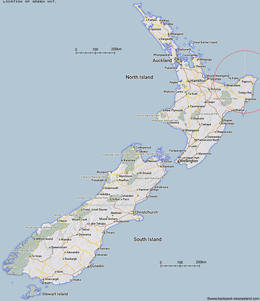
Topo Map showing location of Green Hut
This information is sourced from DoC, LINZ and Openstreetmap. Some of the hut photos are mine and the rest are from DoC. I will be adding an upload feature soon so people can photos of .Green Hut.
Latitude: -37.8048914095
Longitude: 177.946425323
Location:
Type of Hut:
Map: Topo Map | Road Map
Does this hut still exist? Have any more information? Contact
Latitude: -37.8048914095
Longitude: 177.946425323
Location:
Type of Hut:
Map: Topo Map | Road Map
Does this hut still exist? Have any more information? Contact
Scroll down to see a topographical map and road map showing the location of Green Hut
[ A ] [ B ] [ C ] [ D ] [ E ] [ F ] [ G ] [ H ] [ I ] [ J ] [ K ] [ L ] [ M ] [ N ] [ O ] [ P ] [ Q ] [ R ] [ S ] [ T ] [ U ] [ V ] [ W ] [ Y ] [ Z ]
Closest 20 Huts to Green Hut
These are as the crow fliesOronui Hut 9.62km Hikurangi Hut 14.93km Mangakirikiri Hut 33.03km Mangaotane Hut (McMillans) 36.02km Pakihi Hut 58.4km Pakihi Heads Hut 61.53km Te Waiti Hut 62.42km Hastings Hut 62.81km Wahaatua Hut 63.03km Lagoon Hut 64.78km Savlon Hut 67.54km Tokenui Hut 68.3km Manganuku Hut 68.54km Brills Bivouac 68.91km Kotepato Hut 79.97km Nikau Flat Hut 83.93km Koranga Forks Hut 87.53km Koaunui Hut 89.88km Tawa Hut 92.02km Wharekahika Hut 93.91km Kahunui Hut 95.18km Otapukawa Hut 95.59km Onepu Hut 96.27km Tataweka Hut 96.54km Makakoere Hut 96.58km Otane Hut 98.17km Ohora Hut 99.07km Twain (Waipotiki) Hut 100.27km Te Pourewa Hut 100.31km Apiti Hut 100.95km Te Pua Hut 102.3km Saddle (Mangaawai) Hut 102.46km Te Rangaakapua Hut 102.74km Ohane Hut 103.68km Te Panaa Hut 103.84km Waikare Junction Hut 105.19km Mangatoatoa Hut 105.36km Waihua Hut 106.52km Casino Hut 107.05km Makomako Hut 108.28km