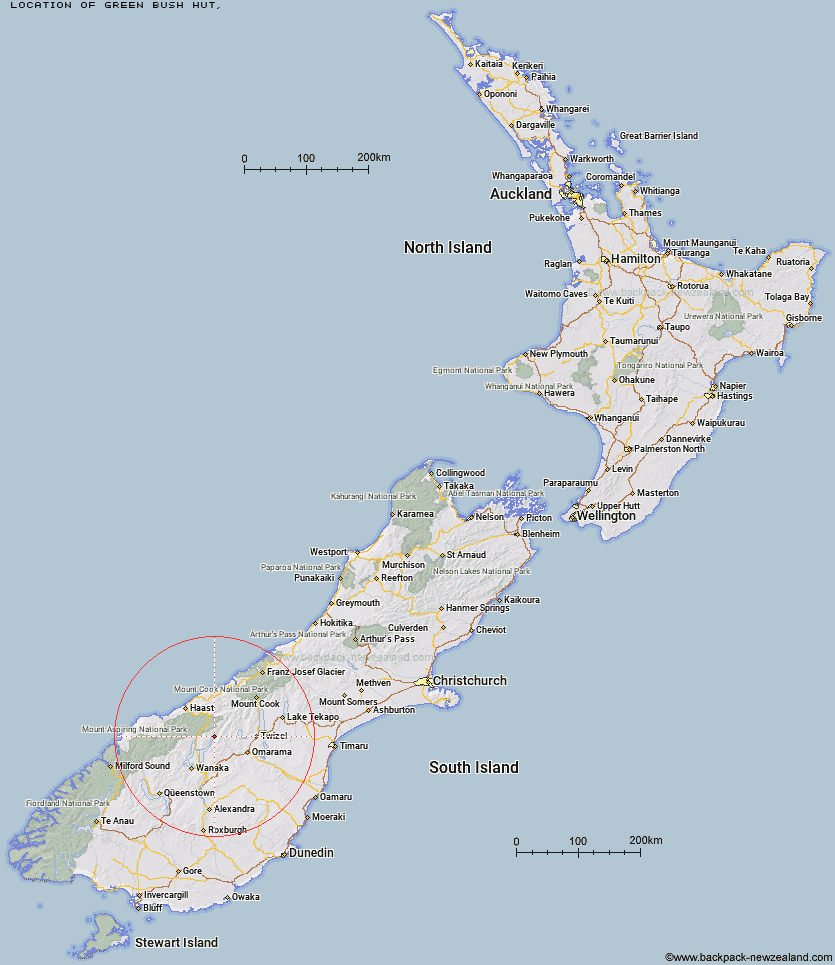
Topo Map showing location of Green Bush Hut
This information is sourced from DoC, LINZ and Openstreetmap. Some of the hut photos are mine and the rest are from DoC. I will be adding an upload feature soon so people can photos of .Green Bush Hut.
Latitude: -44.2568108948
Longitude: 169.472345377
Location:
Type of Hut:
Map: Topo Map | Road Map
Does this hut still exist? Have any more information? Contact
Latitude: -44.2568108948
Longitude: 169.472345377
Location:
Type of Hut:
Map: Topo Map | Road Map
Does this hut still exist? Have any more information? Contact
Scroll down to see a topographical map and road map showing the location of Green Bush Hut
[ A ] [ B ] [ C ] [ D ] [ E ] [ F ] [ G ] [ H ] [ I ] [ J ] [ K ] [ L ] [ M ] [ N ] [ O ] [ P ] [ Q ] [ R ] [ S ] [ T ] [ U ] [ V ] [ W ] [ Y ] [ Z ]
Closest 20 Huts to Green Bush Hut
These are as the crow fliesLittle Boundary Hut 1.32km Boundary Hut 1.84km High Burn Hut 6.08km Top Dingle Hut 7.18km Scrubby Hut 9.24km Ben Avon Hut 10.19km Ahuriri Base Hut 10.25km Bull Flat Hut 12.17km Cotters Hut 12.25km Big Hopwood Burn Hut 12.85km Shamrock Hut 13.21km Cameron Hut 14.02km Makarora Hut 14.4km Ferguson Hut 16.49km Bush Hut 16.92km Hagens Hut 17.46km Snowy Gorge Hut 18.18km Hideaway Hut 19.34km Brewster Hut 19.39km Top Hut 21.46km Mae West Bivouac 21.9km Maitland Hut 22.01km Top Timaru Hut 23.87km Wills Hut 24.28km Sawyer Burn Hut 24.61km Craigie Burn Hut 25.69km Forbes Hut 25.93km South Temple Hut 26.13km Moonlight & Roses Hut 26.98km Burnt Bush Hut 27.54km Junction Hut 31.19km South Huxley Bivouac 31.75km Young Hut 31.82km Stodys Hut 32.08km Siberia Hut 33.23km Kerin Forks Hut 34.81km Main Huxley Forks Hut 35.18km Albert Burn Hut 36.06km Pakituhi Hut 37.32km Brodrick Hut 37.43km