Topo Map showing location of Godley Hut
This information is sourced from DoC, LINZ and Openstreetmap. Some of the hut photos are mine and the rest are from DoC. I will be adding an upload feature soon so people can photos of .Godley Hut.
Basic info: standard eight-bunk hut in the Aoraki/Mount Cook area.
Latitude: -43.4803617603
Longitude: 170.510417015
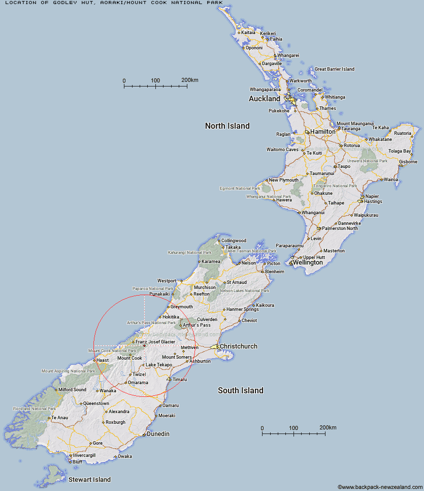
Location: Aoraki/Mount Cook National Park
Area: Canterbury
Type of Hut: Standard
Map: BX17 Topo Map | Road Map
Does this hut still exist? Have any more information? Contact
Basic info: standard eight-bunk hut in the Aoraki/Mount Cook area.
Latitude: -43.4803617603
Longitude: 170.510417015
Location: Aoraki/Mount Cook National Park
Area: Canterbury
Type of Hut: Standard
Map: BX17 Topo Map | Road Map
Does this hut still exist? Have any more information? Contact
Scroll down to see a topographical map and road map showing the location of Godley Hut
[ A ] [ B ] [ C ] [ D ] [ E ] [ F ] [ G ] [ H ] [ I ] [ J ] [ K ] [ L ] [ M ] [ N ] [ O ] [ P ] [ Q ] [ R ] [ S ] [ T ] [ U ] [ V ] [ W ] [ Y ] [ Z ]
Closest 20 Huts to Godley Hut
These are as the crow fliesEade Memorial Hut 4.91km Red Stag Hut 6.68km Top Butler Hut 8.74km Murchison Hut 10.28km Butler Junction Hut 11.2km Forbes Bivouac 11.24km Whymper Hut 11.99km Carneys Bivvy's 12.39km Scone Hut 12.56km Kelman Hut 12.8km Macaulay Hut 13.42km Murphys Bivvy 13.54km Rankin Hut 13.85km Tasman Saddle Hut 14.09km Nolans Hut 14.85km Mistake Flats Hut 15.21km Saint Winifreds Hut 15.62km Stan's Hut 16.39km Curtis Memorial Hut 16.6km Growler Hut 18.73km Angus Hut 19.58km Spencer Rock Bivouac 20.01km Onslow Hut (Steffan Memorial Hut) 21.8km Stony Stream Hut 22.43km Centennial Hut 22.52km Liebig Hut 23.06km Watchdog Hut 23.83km Memorial Hut 24.19km McCoy Hut 24.23km Almer Hut 24.37km Birdcage Hut 24.42km Ribbonwood Hut 25.18km Black Mountain Hut 25.93km Dog Kennel Bivouac 26.77km Pioneer Hut 27km Hende's Hut 27.37km Erewhon Station Hut 27.54km Crooked Spur Hut 27.58km Haast Hut 27.74km Castle Rocks Hut 27.88km