Topo Map showing location of Glenrae Hut
This information is sourced from DoC, LINZ and Openstreetmap. Some of the hut photos are mine and the rest are from DoC. I will be adding an upload feature soon so people can photos of .Glenrae Hut.
Basic info: basic four-bunk hut in the North Canterbury and Arthur's Pass area.
Latitude: -42.7645363826
Longitude: 172.433891777
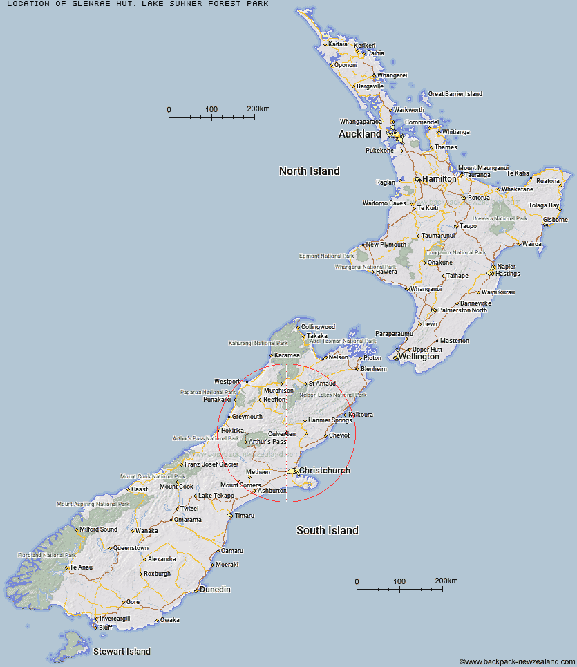
Location: Lake Sumner Forest Park
Area: Canterbury
Type of Hut: Basic/bivvies
Map: BU23 Topo Map | Road Map
Does this hut still exist? Have any more information? Contact
Basic info: basic four-bunk hut in the North Canterbury and Arthur's Pass area.
Latitude: -42.7645363826
Longitude: 172.433891777
Location: Lake Sumner Forest Park
Area: Canterbury
Type of Hut: Basic/bivvies
Map: BU23 Topo Map | Road Map
Does this hut still exist? Have any more information? Contact
Scroll down to see a topographical map and road map showing the location of Glenrae Hut
[ A ] [ B ] [ C ] [ D ] [ E ] [ F ] [ G ] [ H ] [ I ] [ J ] [ K ] [ L ] [ M ] [ N ] [ O ] [ P ] [ Q ] [ R ] [ S ] [ T ] [ U ] [ V ] [ W ] [ Y ] [ Z ]
Closest 20 Huts to Glenrae Hut
These are as the crow fliesGlenrae Hut 0km Cold Stream Hut 4.81km Glenrae Bivouac 7.79km Jollie Brook Hut 9.56km Bush Hut 10.07km Gabriel Hut 12.71km Valley Camp Hut 13.84km Evangeline Bivouac 15.62km Seldom Inn Hut 19.48km Deep Creek Hut 19.87km Hope Halfway Hut 19.93km Bus Shelter 20.45km Museum Hut 20.8km Tommys Cabin 21.7km Lake Mason Hut 22.09km Esk Bivouac 22.57km Bush Camp Hut 22.97km Saint Jacob's Hut 24km Lake Sumner Hut 24.26km Carlyle Hut 24.35km Three Mile Stream Hut 25.69km Stony Stream Hut 26.67km Cattle Creek Hut 27.11km Anderson's Hut 27.26km Tutu Hut 27.68km Hurunui Hut 28.41km Top Hope Hut 28.7km Doubtful Hut 28.73km South Branch Research Hut 28.98km Lake Man Bivouac 29.42km Ant Stream Bivouac 29.83km Magdalen Hut 29.91km North Esk Hut 29.99km Ant Stream Hut 31.75km Doubtless Hut 31.87km Mackenzie Bivouac 32.75km Devils Den Bivouac 32.82km Anna Hut 32.83km Boyle Flat Hut 33.32km Candlesticks Bivouac 34.23km