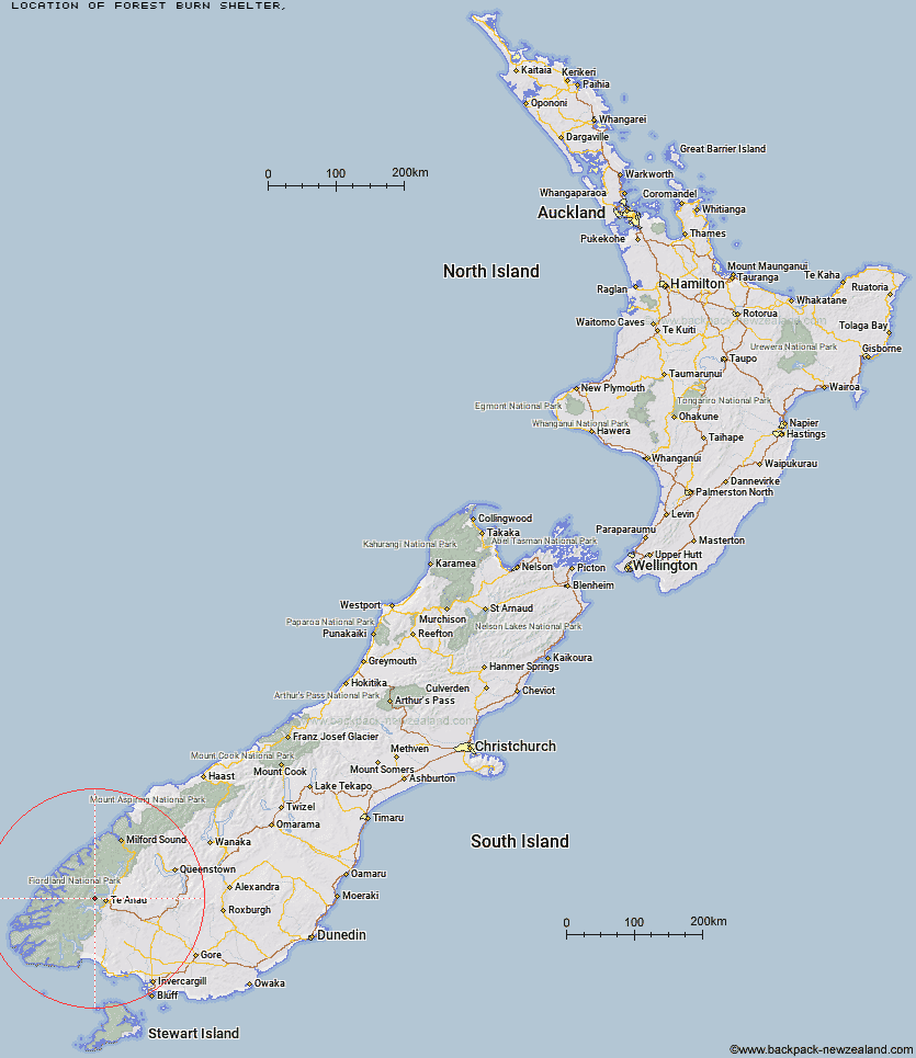
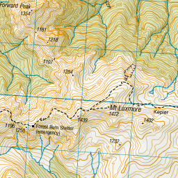
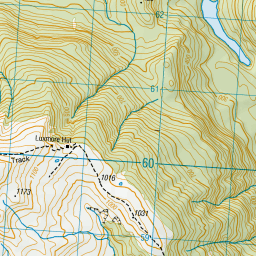
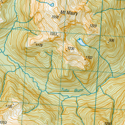
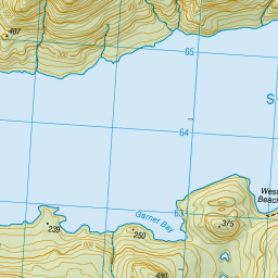
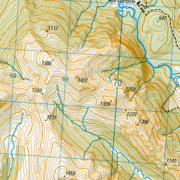
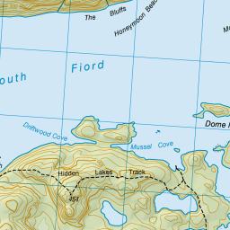
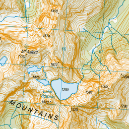
Topo Map showing location of Forest Burn Shelter
This information is sourced from DoC, LINZ and Openstreetmap. Some of the hut photos are mine and the rest are from DoC. I will be adding an upload feature soon so people can photos of .Forest Burn Shelter.
Latitude: -45.3894937998
Longitude: 167.5718408
Location:
Type of Hut:
Map: Topo Map | Road Map
Does this hut still exist? Have any more information? Contact
Latitude: -45.3894937998
Longitude: 167.5718408
Location:
Type of Hut:
Map: Topo Map | Road Map
Does this hut still exist? Have any more information? Contact
Scroll down to see a topographical map and road map showing the location of Forest Burn Shelter
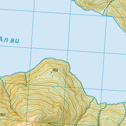
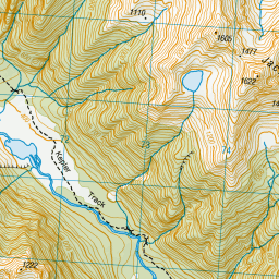
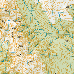
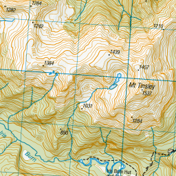
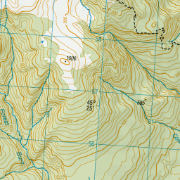
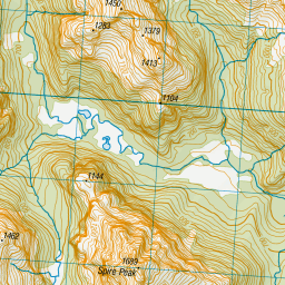
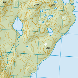
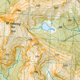


Leaflet | Sourced from LINZ. CC BY 4.0


Leaflet | Map data © OpenStreetMap contributors
[ A ] [ B ] [ C ] [ D ] [ E ] [ F ] [ G ] [ H ] [ I ] [ J ] [ K ] [ L ] [ M ] [ N ] [ O ] [ P ] [ Q ] [ R ] [ S ] [ T ] [ U ] [ V ] [ W ] [ Y ] [ Z ]
Closest 20 Huts to Forest Burn Shelter
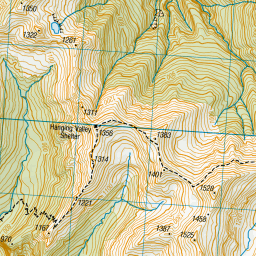
These are as the crow fliesHanging Valley Shelter 2.88km Luxmore Hut 3.73km Iris Burn Hut 4.98km Brod Bay Shelter and Campsite 8.19km Moturau Hut 10.69km Shallow Bay Hut 11.98km Freeman Burn Hut 15.92km Hope Arm Hut 22.41km Back Valley Hut 23.47km Junction Burn Hut 27.14km Robin Saddle Hut 27.54km West Arm Hut 28.43km Percy Shelter 29.45km Cheviot Downs Hut 31.7km North Borland Hut 33.63km Whare Creek Hut 36.77km Upper Princhester Hut 37.16km Lower Princhester Hut 37.29km Lake Hankinson Hut 38.19km Upper Spey Hut 38.27km Army Hut 38.57km Lake Thomson Hut 40.59km Kiwi Burn Hut 40.72km Redcliff Hut 41.86km Aparima Forks Hut 41.95km Borland Bivouac 41.97km Spence Hut 42.5km Caswell Sound Hut 43.2km Kintail Hut 43.47km Oreti Hut 44.5km Glaisnock Hut 44.6km Becketts Hut 44.73km Telford Hut 45.64km Upper Wairaki Hut 45.68km Green Lake Hut 46.02km George Sound Hut 46.27km Historic Clark Hut 48.15km Lake Roe Hut 48.29km Aparima Huts 48.53km Clark Hut - A Frame 48.55km