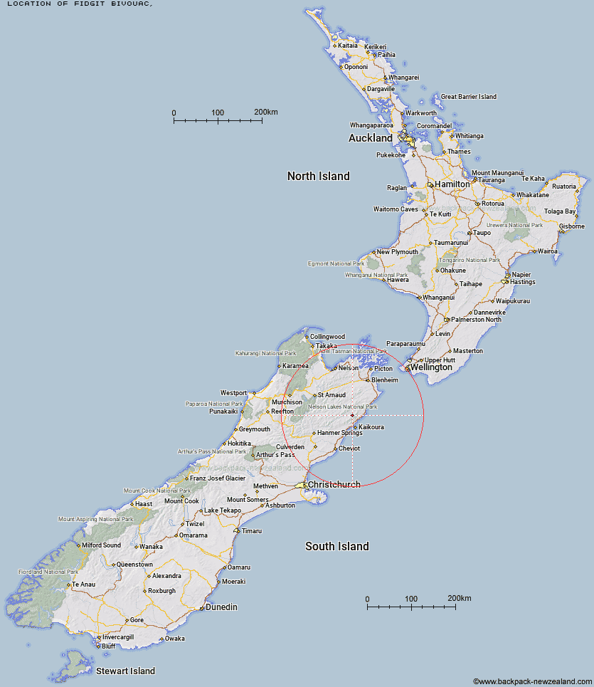
Topo Map showing location of Fidgit Bivouac
This information is sourced from DoC, LINZ and Openstreetmap. Some of the hut photos are mine and the rest are from DoC. I will be adding an upload feature soon so people can photos of .Fidgit Bivouac.
Latitude: -42.1767276429
Longitude: 173.629884256
Location:
Type of Hut:
Map: Topo Map | Road Map
Does this hut still exist? Have any more information? Contact
Latitude: -42.1767276429
Longitude: 173.629884256
Location:
Type of Hut:
Map: Topo Map | Road Map
Does this hut still exist? Have any more information? Contact
Scroll down to see a topographical map and road map showing the location of Fidgit Bivouac
[ A ] [ B ] [ C ] [ D ] [ E ] [ F ] [ G ] [ H ] [ I ] [ J ] [ K ] [ L ] [ M ] [ N ] [ O ] [ P ] [ Q ] [ R ] [ S ] [ T ] [ U ] [ V ] [ W ] [ Y ] [ Z ]
Closest 20 Huts to Fidgit Bivouac
These are as the crow fliesGoose Flat Hut 7.1km Dubious Bivouac 7.12km Barratts Bivouac 8.2km Barratts Hut 8.3km Haycocks Bivouac 8.41km Hapuku Hut 10.8km Ravine Hut 10.84km Jam Hut 11.44km Limestone Hut 12.15km Kowhai Hut 13.83km Hornby Bivvy 15.55km Snowgrass Hut 16.56km Mt Fyffe Hut 16.65km Warden Hut 19.41km Seymour Hut 19.7km Black Spur Historic Hut 20.07km Tent Poles Hut 20.09km Dee Hut 22.04km Gibson Hut 24.12km Kahutara Bivouac 24.44km Old Middlehurst Hut 24.87km Lake McRae Hut 26.09km Mead Hut 27.06km Cabbage Tree Hut 27.2km Alfred Hut 28.42km Cam Hut 30.41km Palmer Hut 32.93km Flynns 33.32km Swale Hut 34.08km Beechs Hut 34.81km Whernside Hut 35.44km Palmer Bivouac 35.5km Munroe Hut 35.81km Stone Jug Hut 35.9km Burnt Yards Hut 36.04km Zoo Hut 37.38km Carters Yards Hut 38.03km Junction Hut 38.52km Top Whare 40.57km Saxton Hut 41.64km