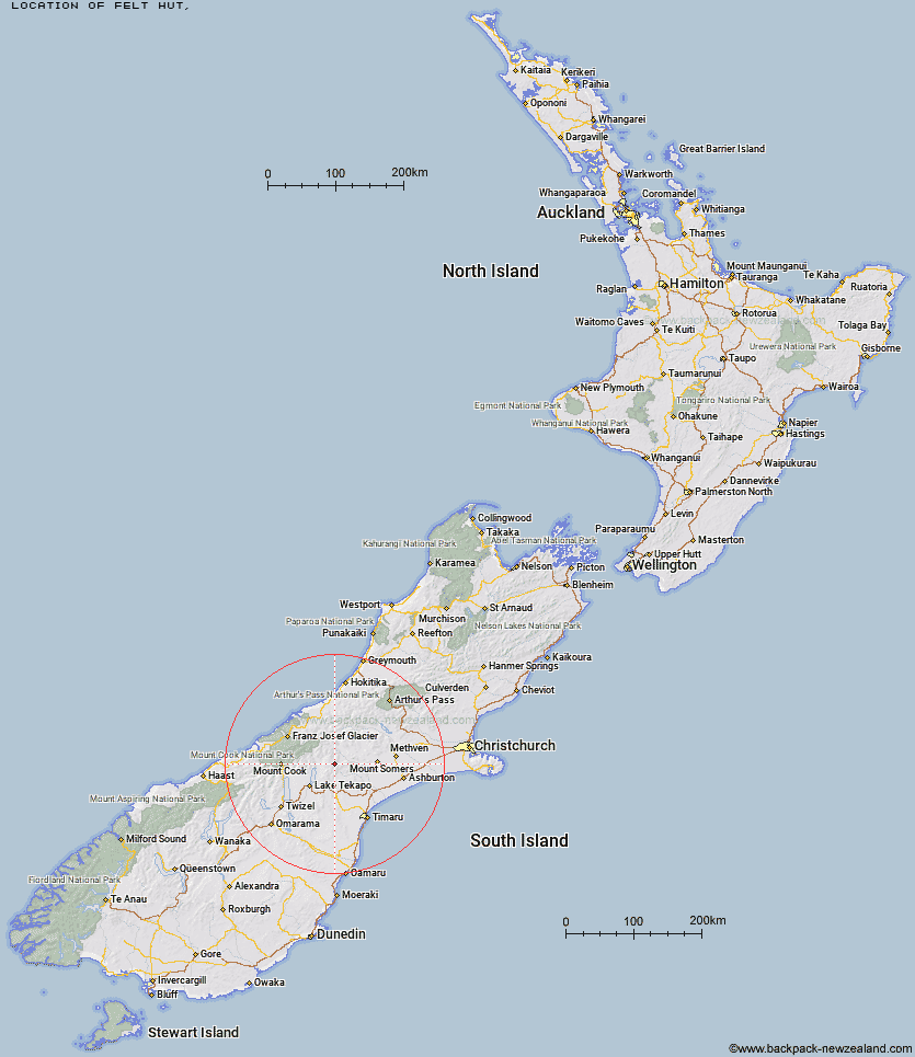
Topo Map showing location of Felt Hut
This information is sourced from DoC, LINZ and Openstreetmap. Some of the hut photos are mine and the rest are from DoC. I will be adding an upload feature soon so people can photos of .Felt Hut.
Latitude: -43.7284488181
Longitude: 170.820052362
Location:
Type of Hut:
Map: Topo Map | Road Map
Does this hut still exist? Have any more information? Contact
Latitude: -43.7284488181
Longitude: 170.820052362
Location:
Type of Hut:
Map: Topo Map | Road Map
Does this hut still exist? Have any more information? Contact
Scroll down to see a topographical map and road map showing the location of Felt Hut
[ A ] [ B ] [ C ] [ D ] [ E ] [ F ] [ G ] [ H ] [ I ] [ J ] [ K ] [ L ] [ M ] [ N ] [ O ] [ P ] [ Q ] [ R ] [ S ] [ T ] [ U ] [ V ] [ W ] [ Y ] [ Z ]
Closest 20 Huts to Felt Hut
These are as the crow fliesStone Hut 6.11km Royal Hut 6.9km Spurs Hut 11.69km Crooked Spur Hut 11.88km Taffy Hut 14.42km Camp Stream Hut 15.53km Rex Simpson Hut 15.77km Dog Kennel Bivouac 16.09km Stony Stream Hut 17.83km Ribbonwood Hut 19.4km South Opuha Hut 19.61km Black Mountain Hut 20.94km Macaulay Hut 23.97km Growler Hut 25.06km Ribbonwood Hut 25.16km Top Mount Peel Huts 25.61km Bottom Mount Peel Hut 27.44km Sutherland's Hut 27.75km Carneys Bivvy's 28.77km Angus Hut 28.96km Middle Gorge Hut 29.03km Potts Hut 29.05km Devil's Creek Hut 29.3km Boundary Creek Hut 29.98km Rankin Hut 31.04km Murphys Bivvy 31.18km Erewhon Station Hut 31.35km Curtis Memorial Hut 31.9km Forbes Bivouac 32.42km Mistake Flats Hut 32.77km Red Stag Hut 33.04km Ryders Hut 33.14km Tin Hut 33.93km Halfway Hut 34.19km Lawrence Hut 34.56km Birdcage Hut 35.01km Memorial Hut 35.48km Waterfall Hut 35.5km Watchdog Hut 35.7km Eade Memorial Hut 35.8km