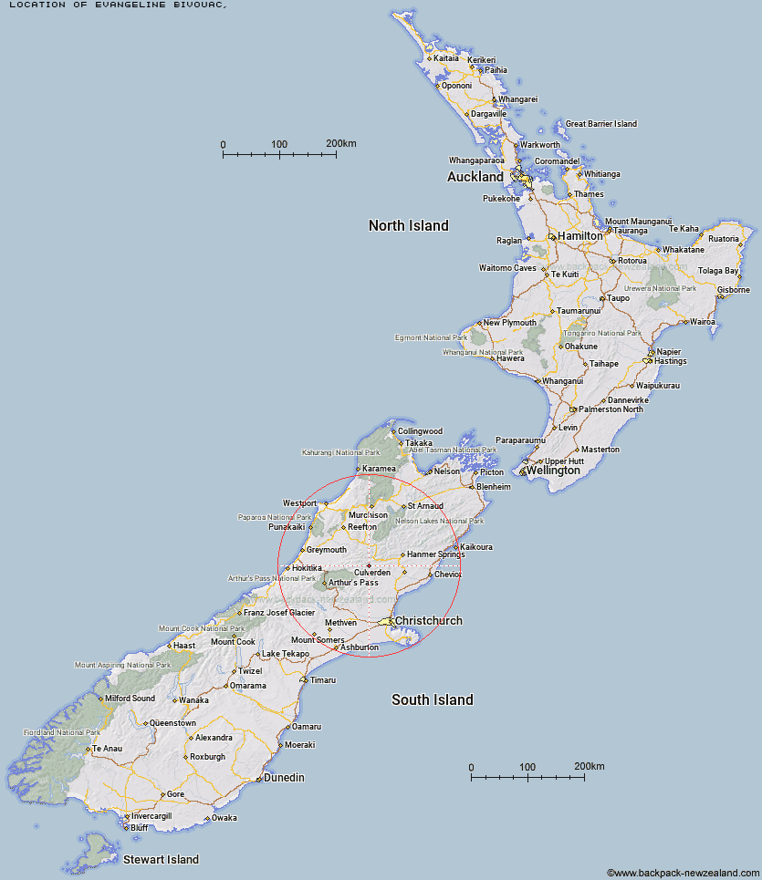
Topo Map showing location of Evangeline Bivouac
This information is sourced from DoC, LINZ and Openstreetmap. Some of the hut photos are mine and the rest are from DoC. I will be adding an upload feature soon so people can photos of .Evangeline Bivouac.
Latitude: -42.6824422489
Longitude: 172.278743114
Location:
Type of Hut:
Map: Topo Map | Road Map
Does this hut still exist? Have any more information? Contact
Latitude: -42.6824422489
Longitude: 172.278743114
Location:
Type of Hut:
Map: Topo Map | Road Map
Does this hut still exist? Have any more information? Contact
Scroll down to see a topographical map and road map showing the location of Evangeline Bivouac
[ A ] [ B ] [ C ] [ D ] [ E ] [ F ] [ G ] [ H ] [ I ] [ J ] [ K ] [ L ] [ M ] [ N ] [ O ] [ P ] [ Q ] [ R ] [ S ] [ T ] [ U ] [ V ] [ W ] [ Y ] [ Z ]
Closest 20 Huts to Evangeline Bivouac
These are as the crow fliesEvangeline Bivouac 0km Gabriel Hut 4.41km Museum Hut 6.05km Jollie Brook Hut 6.14km Hope Halfway Hut 7.58km Saint Jacob's Hut 9.29km Three Mile Stream Hut 10.46km Cold Stream Hut 10.87km Lake Sumner Hut 11.11km Lake Mason Hut 11.17km Top Hope Hut 13.32km Glenrae Bivouac 13.47km Bus Shelter 13.48km Hurunui Hut 15.12km Lake Man Bivouac 15.47km Glenrae Hut 15.62km Stony Stream Hut 16.34km Doubtful Hut 16.83km Deep Creek Hut 17.12km Bush Camp Hut 17.13km South Branch Research Hut 17.7km Mackenzie Bivouac 17.83km Doubtless Hut 18.35km North Esk Hut 21.53km Mackenzie Hut 21.62km Devils Den Bivouac 21.68km Bush Hut 22km Slaty Creek Hut 22.03km Valley Camp Hut 22.51km Carlyle Hut 23.05km Upper Nina Bivouac 23.67km Hurunui No 3 Hut 23.85km Esk Bivouac 24.13km Top Robinson Hut 24.13km Nina Hut 24.35km Seldom Inn Hut 25.09km Ant Stream Bivouac 25.4km Upper South Branch Hurunui Hut 25.48km Mid Robinson Hut 25.84km Magdalen Hut 26.11km