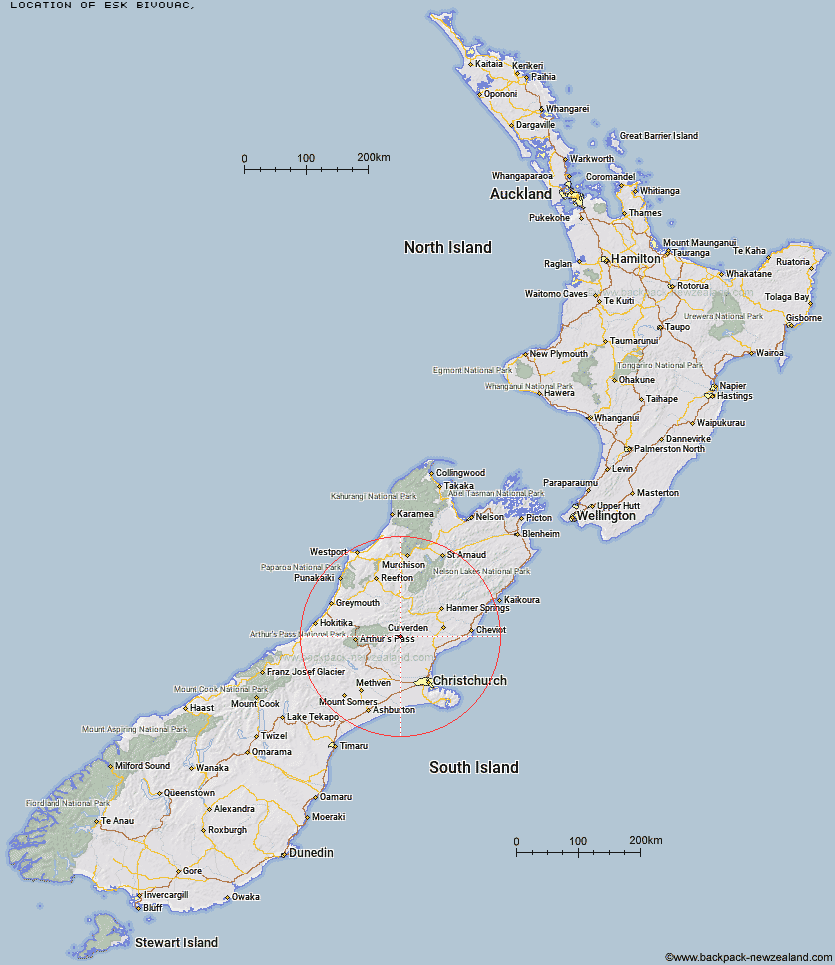
Topo Map showing location of Esk Bivouac
This information is sourced from DoC, LINZ and Openstreetmap. Some of the hut photos are mine and the rest are from DoC. I will be adding an upload feature soon so people can photos of .Esk Bivouac.
Latitude: -42.8954661909
Longitude: 172.222428845
Location:
Type of Hut:
Map: Topo Map | Road Map
Does this hut still exist? Have any more information? Contact
Latitude: -42.8954661909
Longitude: 172.222428845
Location:
Type of Hut:
Map: Topo Map | Road Map
Does this hut still exist? Have any more information? Contact
Scroll down to see a topographical map and road map showing the location of Esk Bivouac
[ A ] [ B ] [ C ] [ D ] [ E ] [ F ] [ G ] [ H ] [ I ] [ J ] [ K ] [ L ] [ M ] [ N ] [ O ] [ P ] [ Q ] [ R ] [ S ] [ T ] [ U ] [ V ] [ W ] [ Y ] [ Z ]
Closest 20 Huts to Esk Bivouac
These are as the crow fliesCattle Creek Hut 5.15km Anderson's Hut 5.4km Seldom Inn Hut 6.17km Deep Creek Hut 7.77km Anna Hut 10.48km Ant Stream Bivouac 10.75km Ant Stream Hut 10.87km Bush Camp Hut 10.93km Youngman Stream Hut 14.79km North Esk Hut 16.33km Tarn Hut 17.02km Candlesticks Bivouac 17.81km Stony Stream Hut 17.91km Lake Mason Hut 18.02km Lochinvar Hut 18.04km Gabriel Hut 20.14km South Branch Research Hut 20.31km Bull Creek Hut 20.7km Lilburne Hut 20.96km Cold Stream Hut 21.29km Jollie Brook Hut 21.53km Lake Sumner Hut 21.77km Tommys Cabin 22.15km Glenrae Hut 22.57km Hurunui Hut 23.68km Upper South Branch Hurunui Hut 24.13km Evangeline Bivouac 24.13km Turnbull Bivouac 26.43km Ranger Bivouac 26.93km Three Mile Stream Hut 27.07km Pinchgut Hut 27.65km Bob's Camp Bivouac 28km Glenrae Bivouac 28.65km Hurunui No 3 Hut 28.88km Museum Hut 29.57km Camerons Hut 30.13km Mackenzie Bivouac 30.31km Trust/Poulter Hut 31.27km Puketeraki Bivouac 31.47km Hope Halfway Hut 31.71km