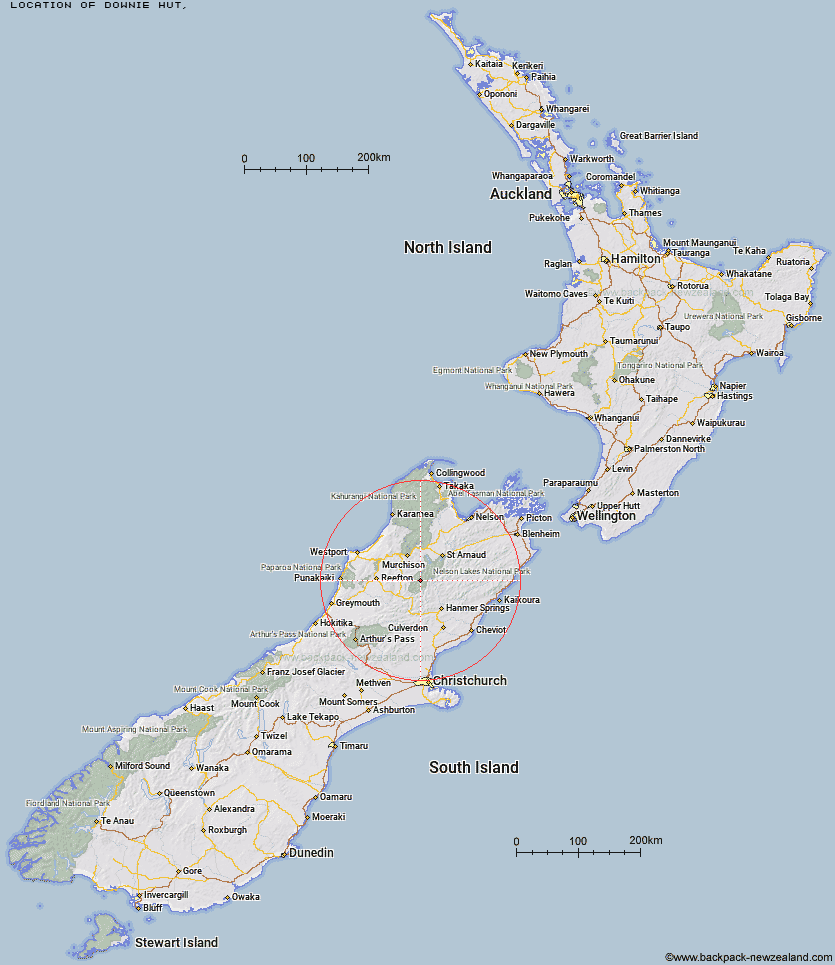
Topo Map showing location of Downie Hut
This information is sourced from DoC, LINZ and Openstreetmap. Some of the hut photos are mine and the rest are from DoC. I will be adding an upload feature soon so people can photos of .Downie Hut.
Latitude: -42.1332493983
Longitude: 172.524732926
Location:
Type of Hut:
Map: Topo Map | Road Map
Does this hut still exist? Have any more information? Contact
Latitude: -42.1332493983
Longitude: 172.524732926
Location:
Type of Hut:
Map: Topo Map | Road Map
Does this hut still exist? Have any more information? Contact
Scroll down to see a topographical map and road map showing the location of Downie Hut
[ A ] [ B ] [ C ] [ D ] [ E ] [ F ] [ G ] [ H ] [ I ] [ J ] [ K ] [ L ] [ M ] [ N ] [ O ] [ P ] [ Q ] [ R ] [ S ] [ T ] [ U ] [ V ] [ W ] [ Y ] [ Z ]
Closest 20 Huts to Downie Hut
These are as the crow fliesBurn Creek Hut 6.75km Upper D'Urville Hut 7.22km East Matakitaki Hut 7.24km Nardoo Hut 8.78km Bobs Hut 10.55km Caroline Creek Bivouac 11.38km George Lyon Hut 11.62km Matakitaki Base Hut 13.08km Blue Lake Hut 13.61km Christopher Cullers Hut 16.89km Christopher Hut 17.58km Morgan Hut 18.89km Paske Hut 19.1km West Sabine Hut 19.16km Mole Hut 19.51km Ada Pass Hut 19.84km Lake Guyon Hut 19.91km Upper Travers Hut 22.43km Cannibal Gorge Hut 22.88km Stanley Vale Hut 23.2km Anne Hut 24.23km Anne Cullers Hut 24.71km Cupola Hut 24.84km Island Gully Hut 24.89km Begley Hut 25.18km Mount Misery Hut 25.2km Tiraumea Hut 25.5km Pell Stream Hut 26.28km John Tait Hut 26.76km Manson-Nicholls Memorial Hut 27.19km D'Urville Hut 27.23km Fowlers Hut 28.15km Sabine Hut 28.87km Hopeless Hut 29.59km Pool Hut 30.14km Old Bridge Hut 30.51km Sedgemere Sleepout 30.93km Jervois Hut 31.69km Angelus Hut 32.92km Connors Creek Hut 32.97km