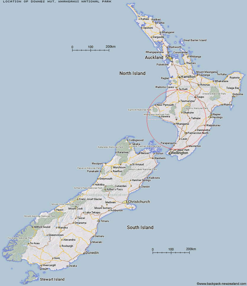
Topo Map showing location of Downes hut
This information is sourced from DoC, LINZ and Openstreetmap. Some of the hut photos are mine and the rest are from DoC. I will be adding an upload feature soon so people can photos of .Downes hut.
Basic info: serviced five-bunk hut in the Whanganui region.
Latitude: -39.7263320942
Longitude: 175.131447497
Location: Whanganui National Park
Area: Manawatu/Whanganui
Type of Hut: Serviced
Map: BK33 Topo Map | Road Map
Does this hut still exist? Have any more information? Contact
Basic info: serviced five-bunk hut in the Whanganui region.
Latitude: -39.7263320942
Longitude: 175.131447497
Location: Whanganui National Park
Area: Manawatu/Whanganui
Type of Hut: Serviced
Map: BK33 Topo Map | Road Map
Does this hut still exist? Have any more information? Contact

Image: DoC
Scroll down to see a topographical map and road map showing the location of Downes hut
[ A ] [ B ] [ C ] [ D ] [ E ] [ F ] [ G ] [ H ] [ I ] [ J ] [ K ] [ L ] [ M ] [ N ] [ O ] [ P ] [ Q ] [ R ] [ S ] [ T ] [ U ] [ V ] [ W ] [ Y ] [ Z ]
Closest 20 Huts to Downes hut
These are as the crow fliesDownes hut 0km Ngapurua Hut 43.91km Puketotara Hut 43.95km Trains Hut 43.99km Tahupo Hut 44.72km Tieke Kainga 44.83km Puteore Hut 49.33km Pouri Hut 49.47km Lupton Hut 55.12km Blyth Hut 55.36km Mangaehuehu Hut 55.72km Zekes Hut 56.61km Mangaturuturu Hut 57.35km Omaru Hut 57.67km John Coull Hut 57.92km Whangaehu Hut 63.04km Rangipo Hut 63.49km Whakapapaiti Hut 63.65km Westlawn Hut 69.26km Old Waihohonu Hut 73.91km Waihohonu Hut 74.29km Ohuraiti Hut 74.97km Mangatepopo Hut 76.02km Rangiwahia Hut 77.94km Kawhatau Base 78.01km Oturere Hut 79.24km Purity Hut 79.73km Alice Nash Memorial Heritage Lodge 79.81km Kelly Knight Hut 79.94km Te Ekaou Hut 80.08km Forks Hut 81.31km Crow Hut 81.66km Otukota Hut 81.7km Diggers Hut 81.73km Ketetahi Shelter 82.06km Iron Gate Hut 82.13km Iron Bark Hut 82.37km Pourangaki Hut 82.43km McKinnon Hut 82.58km Triangle Hut 83.03km