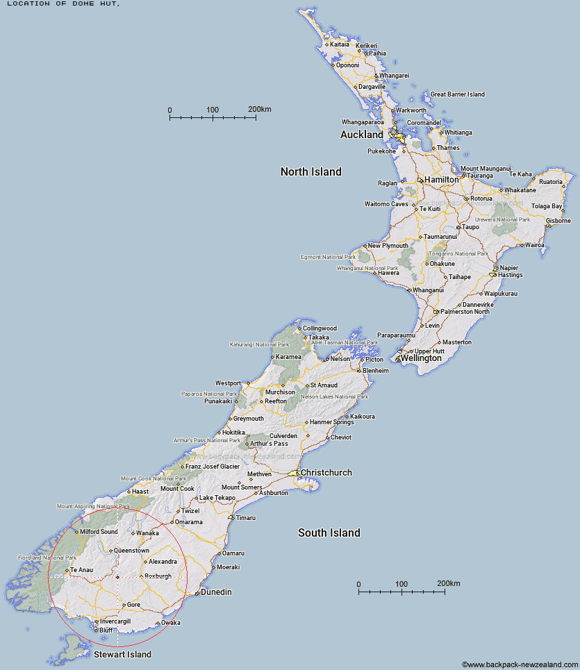
Topo Map showing location of Dome Hut
This information is sourced from DoC, LINZ and Openstreetmap. Some of the hut photos are mine and the rest are from DoC. I will be adding an upload feature soon so people can photos of .Dome Hut.
Latitude: -45.5525582322
Longitude: 168.79948138
Location:
Type of Hut:
Map: Topo Map | Road Map
Does this hut still exist? Have any more information? Contact
Latitude: -45.5525582322
Longitude: 168.79948138
Location:
Type of Hut:
Map: Topo Map | Road Map
Does this hut still exist? Have any more information? Contact
Scroll down to see a topographical map and road map showing the location of Dome Hut
[ A ] [ B ] [ C ] [ D ] [ E ] [ F ] [ G ] [ H ] [ I ] [ J ] [ K ] [ L ] [ M ] [ N ] [ O ] [ P ] [ Q ] [ R ] [ S ] [ T ] [ U ] [ V ] [ W ] [ Y ] [ Z ]
Closest 20 Huts to Dome Hut
These are as the crow fliesFlaxy Hut 7.16km Junction Hut 7.65km Jim Baird Hut 7.74km Hyde Home Hut 8.76km Mud Hut 8.94km Sullivan Hut 9.85km Slate Hut 9.91km Garston Ski Hut 11.67km Blue Lake Huts 13.52km Titan Huts 13.58km Black Hut 18.88km Stronach Hut 20.69km Bush Huts 21.03km Christies Hut 24.32km McCrimmons Hut 28.38km Baileys Hut 28.82km Mitchells Hut 29.32km Mansion Hut 29.82km Andrew Rees Hut 30km Potters Huts 30.3km Junction Hut 30.31km Leithen Hut 30.36km Diggers Hut 30.67km Cowshed Hut 32.52km Ross Hut 32.91km Shepherd Creek Hut 33.06km Mt Bee Bunkrooms 33.4km Beaumont Hut 34.61km Cromel Base Hut 34.72km Cromel Branch Hut 35.35km Irthing Hut 35.36km Boundary Hut 36.61km Siberia Hut 36.86km Nicholsons Hut 37.45km Dog Box Bivouac 37.52km Upper Cromel Hut 38.66km Billy Hut 39.56km Islands Hut 40.78km Whites Hut 41.38km Two Mile Hut 42.03km