Topo Map showing location of Boar Inn
This information is sourced from DoC, LINZ and Openstreetmap. Some of the hut photos are mine and the rest are from DoC. I will be adding an upload feature soon so people can photos of .Boar Inn.
Basic info: serviced 4-bunk hut in the Wellington region. The hut is accessed by crossing the Orongorongo River, is locked and must be booked in advance to gain access.
Latitude: -41.3456315882
Longitude: 174.969409728
Location: Catchpool Valley & Orongorongo Valley, Remutaka Forest Park
Area: Wellington/Kapiti
Type of Hut: Serviced
Tracks: Orongorongo Track
Map: BQ32 Topo Map | Road Map
Does this hut still exist? Have any more information? Contact
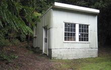
Image: DoC
Scroll down to see a topographical map and road map showing the location of Boar Inn
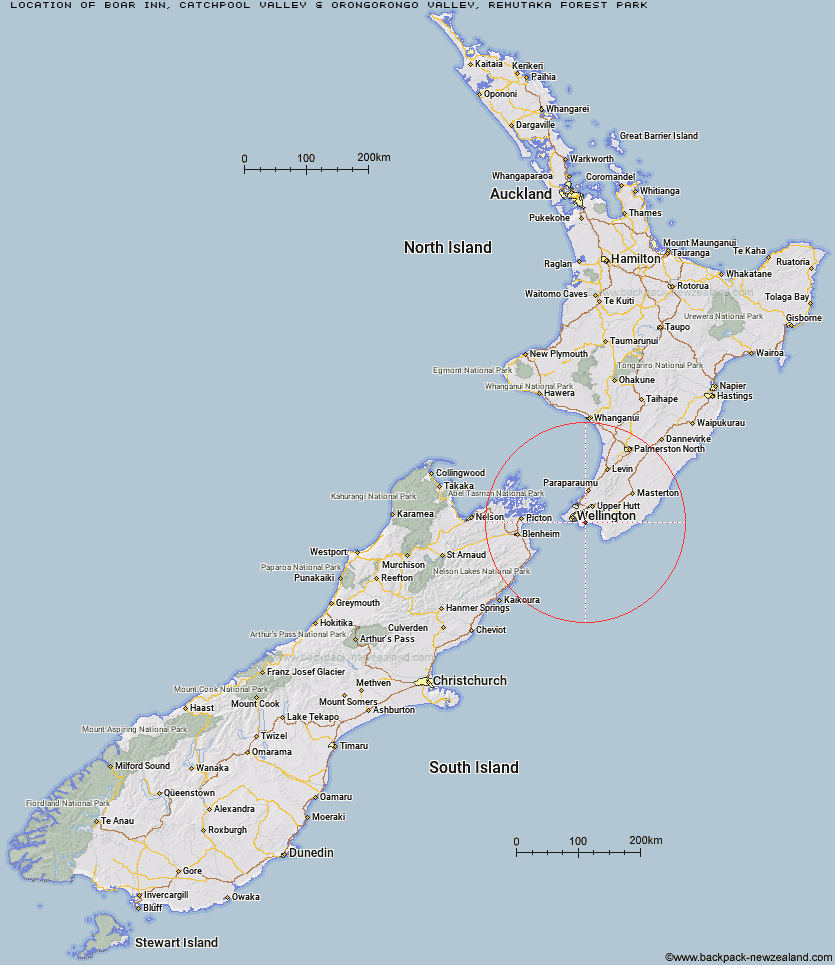
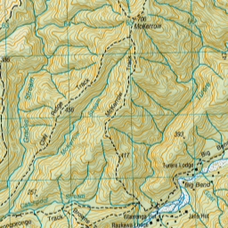
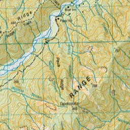
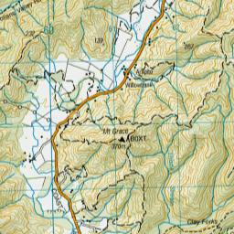
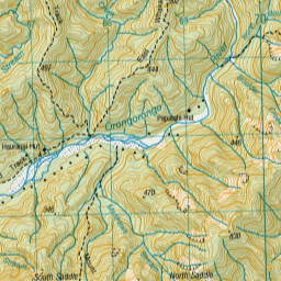
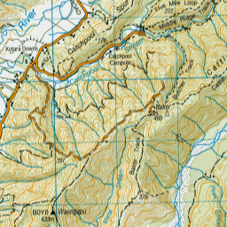
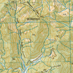
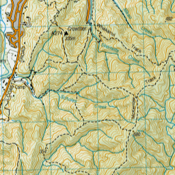
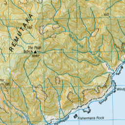
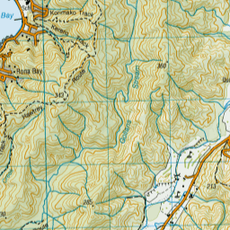
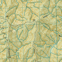
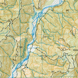
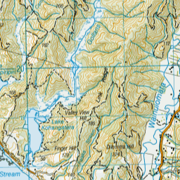
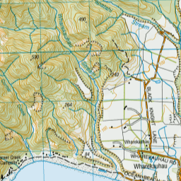
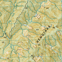
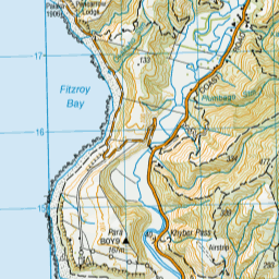

Leaflet | Sourced from LINZ. CC BY 4.0


Leaflet | Map data © OpenStreetMap contributors
[ A ] [ B ] [ C ] [ D ] [ E ] [ F ] [ G ] [ H ] [ I ] [ J ] [ K ] [ L ] [ M ] [ N ] [ O ] [ P ] [ Q ] [ R ] [ S ] [ T ] [ U ] [ V ] [ W ] [ Y ] [ Z ]
Closest 20 Huts to Boar Inn
These are as the crow fliesPaua Hut 0.49km Waerenga Hut 0.69km Jans Hut 1.17km Haurangi Hut 3.01km Papatahi Hut 4.86km Barneys Whare 8.34km Wharepapa Hut 9.15km Waiorongomai Hut 15.14km Tauanui Hut 28.4km Washpool Hut 30.65km Sutherlands Hut 31.84km Pararaki Hut 32.89km Kawakawa Hut 33.96km Mangatoetoe Hut 35.46km Smith Creek Shelter 41.43km Eastern Hutt Hut 44.04km Renata Hut 45.27km Elder Hut 47.03km Tutuwai Hut 47.72km Alpha Hut 47.81km Waiotauru Hut 48.69km Kapakapanui Hut 50.15km Cone Hut 50.75km Kime Hut 51.45km Waiohine Shelter 51.56km Field Hut 54.29km Penn Creek Hut 56.06km Neill Forks Hut 56.18km Sayer Hut 56.88km Maungahuka Hut 57.05km Totara Flats Hut 58.55km Aokaparangi Hut 60.15km Mid Waiohine Hut 62.79km Mountain House Shelter 63.36km Waitewaewae Hut 63.81km Powell Hut 63.85km Anderson Memorial Hut 64.27km Atiwhakatu Hut 66.84km Jumbo Hut 67.36km McGregor Bivouac 67.98km