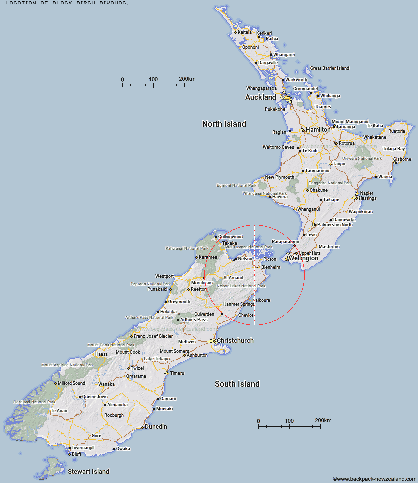
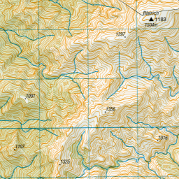
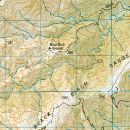
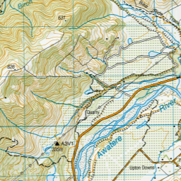
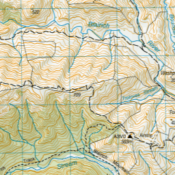
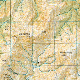
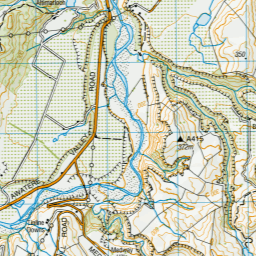
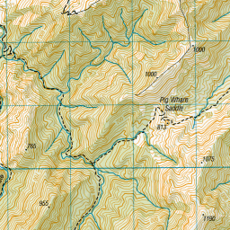
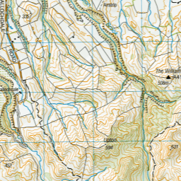
Topo Map showing location of Black Birch Bivouac
This information is sourced from DoC, LINZ and Openstreetmap. Some of the hut photos are mine and the rest are from DoC. I will be adding an upload feature soon so people can photos of .Black Birch Bivouac.
Latitude: -41.7178815459
Longitude: 173.820579672
Location:
Type of Hut:
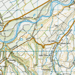
Map: Topo Map | Road Map
Does this hut still exist? Have any more information? Contact
Latitude: -41.7178815459
Longitude: 173.820579672
Location:
Type of Hut:
Map: Topo Map | Road Map
Does this hut still exist? Have any more information? Contact
Scroll down to see a topographical map and road map showing the location of Black Birch Bivouac
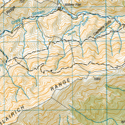
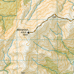
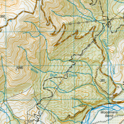
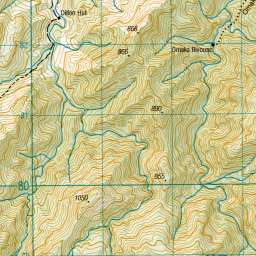

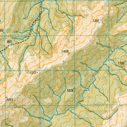

Leaflet | Sourced from LINZ. CC BY 4.0


Leaflet | Map data © OpenStreetMap contributors
[ A ] [ B ] [ C ] [ D ] [ E ] [ F ] [ G ] [ H ] [ I ] [ J ] [ K ] [ L ] [ M ] [ N ] [ O ] [ P ] [ Q ] [ R ] [ S ] [ T ] [ U ] [ V ] [ W ] [ Y ] [ Z ]
Closest 20 Huts to Black Birch Bivouac
These are as the crow fliesOmaka Bivouac 5.71km Beehive Hut 5.88km Dillon Hut 7.93km Ramshead Hut 8.79km Tinpot Hut 9.67km McNaughts Hut 10.53km Lake Alexander Hut 13.63km Penk Hut 13.7km Flynns 20.36km Beechs Hut 21.97km Swale Hut 22.12km Cam Hut 23.41km Isolation Hut 24.35km Zoo Hut 24.49km Whernside Hut 26.71km Mead Hut 28.26km Chimney 30.52km Cabbage Tree Hut 30.65km Dee Hut 31.85km Gibson Hut 32.21km Fosters Hut 35.24km Top Whare 35.4km Mt Sunday Bivouac 36.3km Old Middlehurst Hut 37.12km Snowgrass Hut 37.73km Devils Creek Hut 39.2km Hornby Bivvy 39.32km Gosling Hut 40.07km Fishtail Hut 40.89km Turkeys Nest Bivouac 41.51km Ravine Hut 42.71km Jam Hut 42.89km Hidden Hut 43.62km Blue Mountain Hut 44.21km Mt Fell Hut 44.46km Lake Chalice Hut 44.8km Richmond Saddle Hut 45.36km Haycocks Bivouac 46.01km Boulder Forks Hut 47.65km Captain Creek Hut 49.91km