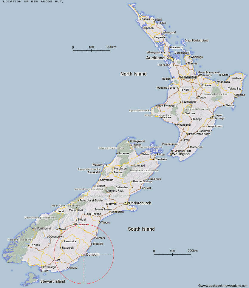
Topo Map showing location of Ben Rudds Hut
This information is sourced from DoC, LINZ and Openstreetmap. Some of the hut photos are mine and the rest are from DoC. I will be adding an upload feature soon so people can photos of .Ben Rudds Hut.
Latitude: -45.8265308186
Longitude: 170.463059179
Location:
Type of Hut:
Map: Topo Map | Road Map
Does this hut still exist? Have any more information? Contact
Latitude: -45.8265308186
Longitude: 170.463059179
Location:
Type of Hut:
Map: Topo Map | Road Map
Does this hut still exist? Have any more information? Contact
Scroll down to see a topographical map and road map showing the location of Ben Rudds Hut
[ A ] [ B ] [ C ] [ D ] [ E ] [ F ] [ G ] [ H ] [ I ] [ J ] [ K ] [ L ] [ M ] [ N ] [ O ] [ P ] [ Q ] [ R ] [ S ] [ T ] [ U ] [ V ] [ W ] [ Y ] [ Z ]
Closest 20 Huts to Ben Rudds Hut
These are as the crow fliesBen Rudds Hut 0km Possum Hut 8.83km Poplar Hut 10.57km Jubilee Hut 12.08km Mt John Hut 12.84km Philip J Cox Memorial Hut 13.06km Christmas Creek Hut 13.61km Bendoran Hut 17.84km Tent Hut 48.83km Howells Hut 52.16km Big Hut 52.88km Iron Hut 52.95km Leaning Lodge 53.9km The Swamp Hut 55.92km Staircase Hut 61.66km Canadian Hut 63.37km Red Hut 65.46km Gentle Annie Hut 67.99km Bog Hut 69.59km Cayenne Hut 70.22km Grays Hut 73.53km Mitchells Hut 74.37km Mount Hut 76.01km Half Moon Hut 76.44km Crumb Hut 80.78km Middle Hut 83.59km Balmoral Huts 89.86km Buster Hut 101.79km Junction Hut 105.41km Brown Hut 105.45km Beaumont Hut 106.37km McLennan Hut 108.35km Tailings Hut 109.31km Leithen Hut 109.36km Hut Creek Hut 111.37km Ida Railway Hut 111.39km Potters Huts 111.75km Wire Yards Hut 111.96km Christies Hut 112.16km Andrew Rees Hut 112.19km