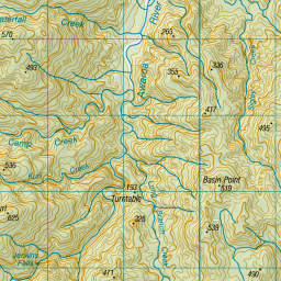
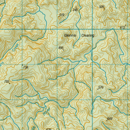
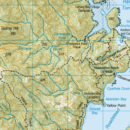
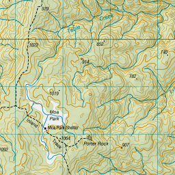
Topo Map showing location of Bark Bay Hut
This information is sourced from DoC, LINZ and Openstreetmap. Some of the hut photos are mine and the rest are from DoC. I will be adding an upload feature soon so people can photos of .Bark Bay Hut.
Basic info: 34-bunk hut located on the Abel Tasman Coast Track in the Motueka area.
Latitude: -40.9161209208
Longitude: 173.048610182
Location: Abel Tasman National Park
Area: Nelson/Tasman
Type of Hut: Great Walk
Tracks: Abel Tasman Coast Track
Map: BP25 Topo Map | Road Map
Does this hut still exist? Have any more information? Contact
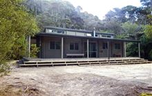
Image: DoC
Scroll down to see a topographical map and road map showing the location of Bark Bay Hut
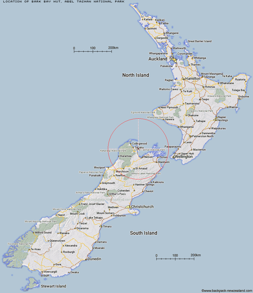
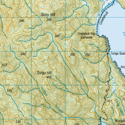
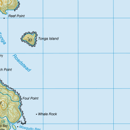
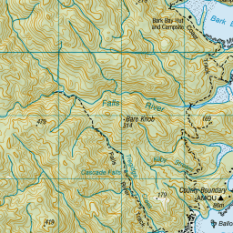
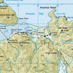
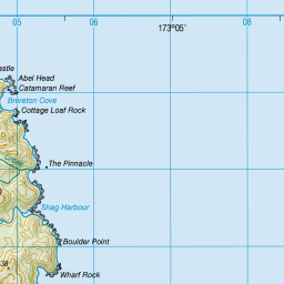

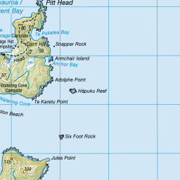
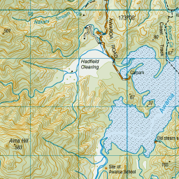

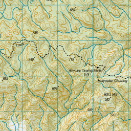

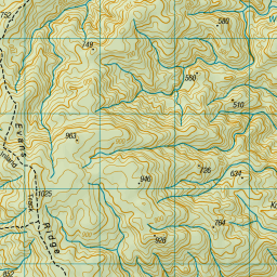


Leaflet | Sourced from LINZ. CC BY 4.0


Leaflet | Map data © OpenStreetMap contributors
[ A ] [ B ] [ C ] [ D ] [ E ] [ F ] [ G ] [ H ] [ I ] [ J ] [ K ] [ L ] [ M ] [ N ] [ O ] [ P ] [ Q ] [ R ] [ S ] [ T ] [ U ] [ V ] [ W ] [ Y ] [ Z ]
Closest 20 Huts to Bark Bay Hut
These are as the crow fliesAnchorage Hut 4.59km Awaroa Hut 6.23km Holyoake Clearing Shelter 6.63km Castle Rock Hut 9.44km Moa Park Shelter 9.77km Wainui Hut 10.78km Awapoto Hut 10.97km Whariwharangi Hut 15.45km Tin Hut Shelter 26.63km Riordans Hut 29.43km Waingaro Forks Hut 34.57km Anatoki Forks Hut 37.08km Asbestos Cottage 38.2km Soper Shelter 39.24km Boulder Lake Hut 39.52km Flora Hut 39.9km Sylvester Hut 39.96km Upper Gridiron Hut and Rock Shelters 40.89km Lonely Lake Hut 41.86km Mt Arthur Hut 41.95km Growler Rock Shelter 41.96km Adelaide Tarn Hut 42.54km Myttons Hut 43.35km Dry Rock Shelter 43.67km Trilobite Hut 43.89km Chaffey Hut 44.75km Balloon Hut 45.48km Tent Camp 46.11km Fenella Hut 46.38km Cobb Hut 46.61km Ellis Hut 46.95km Splugeons Rock Shelter 48.94km Third House Shelter 51.04km Brown Hut 51.08km Perry Saddle Hut 54.29km Dun Shelter 54.77km Flanagans Hut 55.08km Rocks Hut 56.35km Karamea Bend Hut 57.21km Hacket Hut 57.97km