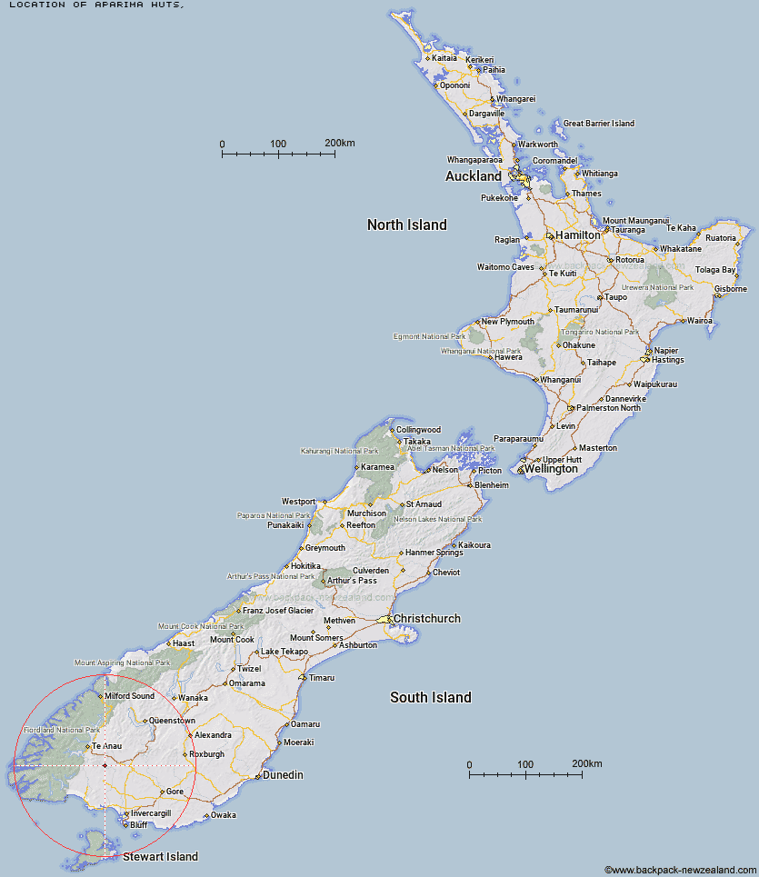
Topo Map showing location of Aparima Huts
This information is sourced from DoC, LINZ and Openstreetmap. Some of the hut photos are mine and the rest are from DoC. I will be adding an upload feature soon so people can photos of .Aparima Huts.
Latitude: -45.7071997957
Longitude: 167.999215478
Location:
Type of Hut:
Map: Topo Map | Road Map
Does this hut still exist? Have any more information? Contact
Latitude: -45.7071997957
Longitude: 167.999215478
Location:
Type of Hut:
Map: Topo Map | Road Map
Does this hut still exist? Have any more information? Contact
Scroll down to see a topographical map and road map showing the location of Aparima Huts
[ A ] [ B ] [ C ] [ D ] [ E ] [ F ] [ G ] [ H ] [ I ] [ J ] [ K ] [ L ] [ M ] [ N ] [ O ] [ P ] [ Q ] [ R ] [ S ] [ T ] [ U ] [ V ] [ W ] [ Y ] [ Z ]
Closest 20 Huts to Aparima Huts
These are as the crow fliesBecketts Hut 5.79km Aparima Forks Hut 6.7km Upper Wairaki Hut 9.07km Lower Wairaki Hut 9.24km Spence Hut 9.35km Upper Princhester Hut 11.54km Telford Hut 12.91km Lower Princhester Hut 13.17km Redcliff Hut 13.46km Whare Creek Hut 14.13km Rock Hut 16.88km Cheviot Downs Hut 18.58km Barcoo Hut 20.09km Oreti Hut 26.96km Lower Windley Hut 27.04km Cromel Base Hut 33.39km Back Valley Hut 34.57km Islands Hut 34.88km Mt Bee Bunkrooms 35.38km Upper Windley Hut 35.54km Hope Arm Hut 37.9km Cromel Branch Hut 38.27km Shallow Bay Hut 38.34km Lincoln Hut 38.41km Upper Cromel Hut 38.7km Moturau Hut 39.28km Kiwi Burn Hut 39.8km North Borland Hut 39.92km Mansion Hut 40.31km Upper Oreti Hut 40.62km Ashton Hut 41.58km Irthing Hut 42.07km Brod Bay Shelter and Campsite 42.08km Rodger Inlet Huts 46.24km Luxmore Hut 46.44km Green Lake Hut 47.3km Shepherd Creek Hut 47.65km Forest Burn Shelter 48.53km Borland Bivouac 48.87km Dog Box Bivouac 49.24km