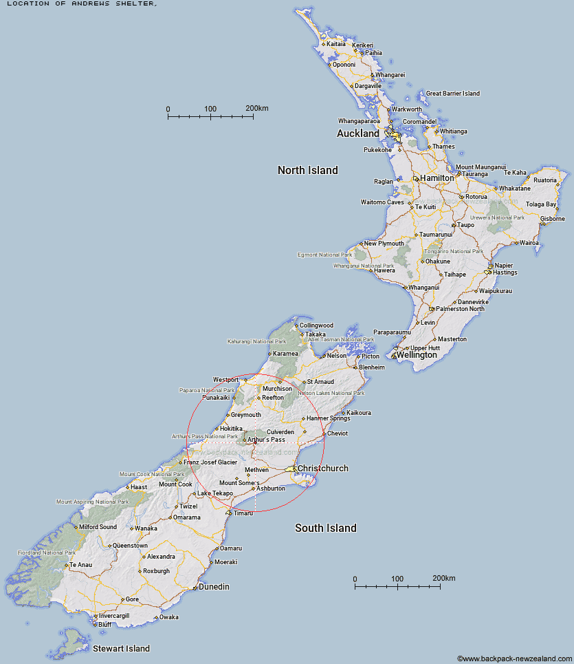
Topo Map showing location of Andrews Shelter
This information is sourced from DoC, LINZ and Openstreetmap. Some of the hut photos are mine and the rest are from DoC. I will be adding an upload feature soon so people can photos of .Andrews Shelter.
Latitude: -42.9940284016
Longitude: 171.792975209
Location:
Type of Hut:
Map: Topo Map | Road Map
Does this hut still exist? Have any more information? Contact
Latitude: -42.9940284016
Longitude: 171.792975209
Location:
Type of Hut:
Map: Topo Map | Road Map
Does this hut still exist? Have any more information? Contact
Scroll down to see a topographical map and road map showing the location of Andrews Shelter
[ A ] [ B ] [ C ] [ D ] [ E ] [ F ] [ G ] [ H ] [ I ] [ J ] [ K ] [ L ] [ M ] [ N ] [ O ] [ P ] [ Q ] [ R ] [ S ] [ T ] [ U ] [ V ] [ W ] [ Y ] [ Z ]
Closest 20 Huts to Andrews Shelter
These are as the crow fliesAndrews Shelter 0km Riversdale Hut 1.32km Hawdon Shelter 3.78km Sudden Valley Bivouac 8.72km Turnbull Bivouac 10.3km Hawdon Hut 10.44km East Hawdon Bivouac 10.55km Edwards Hut 13.15km Bealey Hut 13.23km Cass Saddle Hut 14.08km Mingha Bivouac 15.45km Worsley Bivouac 15.87km Trust/Poulter Hut 16.01km Poulter Hut 16.14km Greyneys Shelter 16.53km Otehake Hut 16.59km Klondyke Shelter 16.6km Lagoon Saddle A Frame Hut 16.97km Lagoon Saddle Hut 17km Goat Pass Hut 17.12km Ranger Bivouac 17.54km Bull Creek Hut 18.16km Bealey Spur Hut 18.65km Lochinvar Hut 18.66km Upper Deception Hut 18.83km West Harper Hut 19.15km Puketeraki Bivouac 19.67km Hamilton Hut 19.76km Poulter Bivouac 19.96km Hamilton Hut 20.05km Jacks Hut 20.78km Koropuku Hut 20.79km Rosa Hut 21.25km Broken River Hut 22.05km Minchin Bivouac 22.2km Anti Crow Hut 22.91km Crow Hut 23.14km Pfeifer Bivouac 23.62km Lower Salmon Creek Bivouac 24.07km Petticoat Junction Hut 24.41km