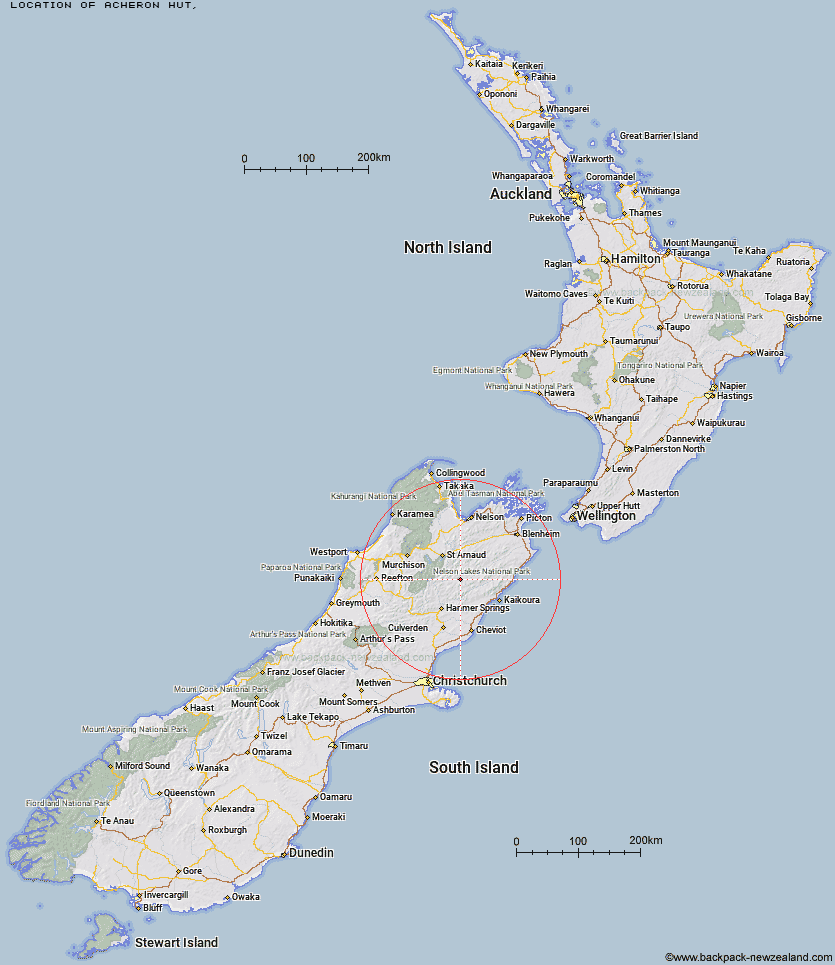
Topo Map showing location of Acheron Hut
This information is sourced from DoC, LINZ and Openstreetmap. Some of the hut photos are mine and the rest are from DoC. I will be adding an upload feature soon so people can photos of .Acheron Hut.
Latitude: -42.1187822308
Longitude: 173.117742848
Location:
Type of Hut:
Map: Topo Map | Road Map
Does this hut still exist? Have any more information? Contact
Latitude: -42.1187822308
Longitude: 173.117742848
Location:
Type of Hut:
Map: Topo Map | Road Map
Does this hut still exist? Have any more information? Contact
Scroll down to see a topographical map and road map showing the location of Acheron Hut
[ A ] [ B ] [ C ] [ D ] [ E ] [ F ] [ G ] [ H ] [ I ] [ J ] [ K ] [ L ] [ M ] [ N ] [ O ] [ P ] [ Q ] [ R ] [ S ] [ T ] [ U ] [ V ] [ W ] [ Y ] [ Z ]
Closest 20 Huts to Acheron Hut
These are as the crow fliesRed Gate Hut 5.57km Saxton Hut 7.59km Carters Yards Hut 8.37km Severn Hut 9.2km Team Hut 11.67km Junction Hut 11.83km Munroe Hut 15.7km Top Leatham Hut 16.46km Guide Hut 16.55km Half Moon Hut 17.8km Lake McRae Hut 17.87km Sedgemere Sleepout 18.06km Branch Bivouac 18.49km Yarra Hut 21.38km Bottom Gordons Hut 21.4km Top Gordon Hut 21.76km Palmer Hut 22.42km Lees Creek Hut 22.81km Burnt Yards Hut 22.82km Connors Creek Hut 22.97km Bottom Misery Hut 23.74km Island Gully Hut 24.25km Seymour Hut 25.84km Palmer Bivouac 26.79km Siberia Hut 26.86km Begley Hut 27.94km Top Misery Hut 28.02km Barbers Hut 28.7km Cloudy Hut 28.95km Lost Stream Bivouac 29.19km Alfred Hut 29.79km Paske Hut 29.98km Black Spur Historic Hut 30.87km Greigs Hut 31.39km Warden Hut 31.84km Upper Travers Hut 32.28km Kahutara Bivouac 32.79km John Tait Hut 32.98km Tent Poles Hut 33.09km Mid Silverstream Hut 33.16km