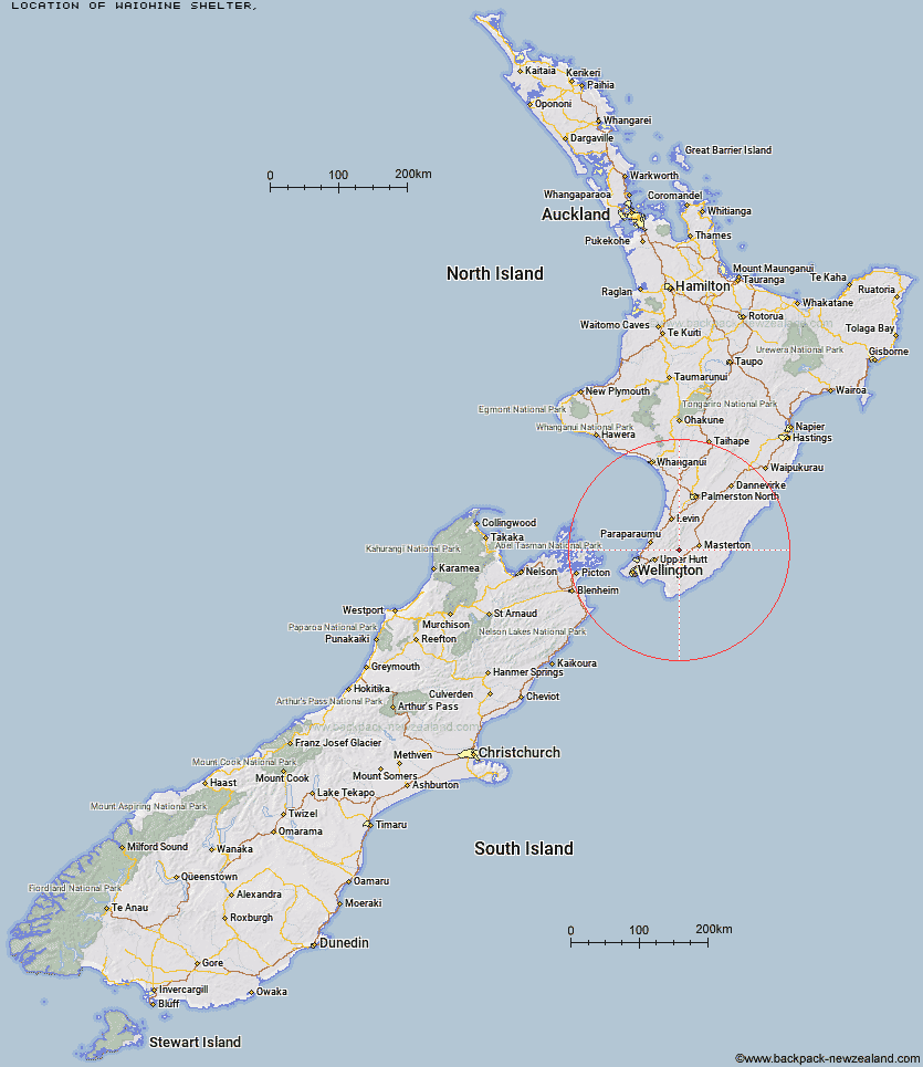
Topo Map showing location of Waiohine Shelter
This information is sourced from DoC, LINZ and Openstreetmap. Some of the hut photos are mine and the rest are from DoC. I will be adding an upload feature soon so people can photos of .Waiohine Shelter.
Latitude: -41.0076414452
Longitude: 175.391124039
Location:
Type of Hut:
Map: Topo Map | Road Map
Does this hut still exist? Have any more information? Contact
Latitude: -41.0076414452
Longitude: 175.391124039
Location:
Type of Hut:
Map: Topo Map | Road Map
Does this hut still exist? Have any more information? Contact
Scroll down to see a topographical map and road map showing the location of Waiohine Shelter
[ A ] [ B ] [ C ] [ D ] [ E ] [ F ] [ G ] [ H ] [ I ] [ J ] [ K ] [ L ] [ M ] [ N ] [ O ] [ P ] [ Q ] [ R ] [ S ] [ T ] [ U ] [ V ] [ W ] [ Y ] [ Z ]
Closest 20 Huts to Waiohine Shelter
These are as the crow fliesCone Hut 4.5km Tutuwai Hut 5.55km Sayer Hut 6.81km Totara Flats Hut 8.4km Neill Forks Hut 8.83km Alpha Hut 9.48km Smith Creek Shelter 10.81km Eastern Hutt Hut 10.95km Maungahuka Hut 11.64km Kime Hut 12.34km Mountain House Shelter 13.02km Aokaparangi Hut 13.13km Elder Hut 13.9km Powell Hut 13.94km Penn Creek Hut 14.71km Mid Waiohine Hut 14.88km Field Hut 15.86km Atiwhakatu Hut 16.38km Jumbo Hut 17.53km Anderson Memorial Hut 18.16km Renata Hut 18.86km Waiotauru Hut 18.89km McGregor Bivouac 19.52km Mid King Bivouac 20.61km Waitewaewae Hut 20.9km Mitre Flats Hut 21.02km Nichols Hut 21.99km Kapakapanui Hut 22.21km Dorset Ridge Hut 22.4km Carkeek Hut 24.18km Tarn Ridge Hut 24.41km Blue Range Hut 26.13km Dracophyllum Hut 26.46km Cow Creek Hut 27.01km Arete Forks Hut 27.5km Arete Hut 29.07km Te Matawai Hut 30.04km Waiopehu Hut 31.41km South Ohau Hut 32.21km Cattle Ridge Hut 32.29km